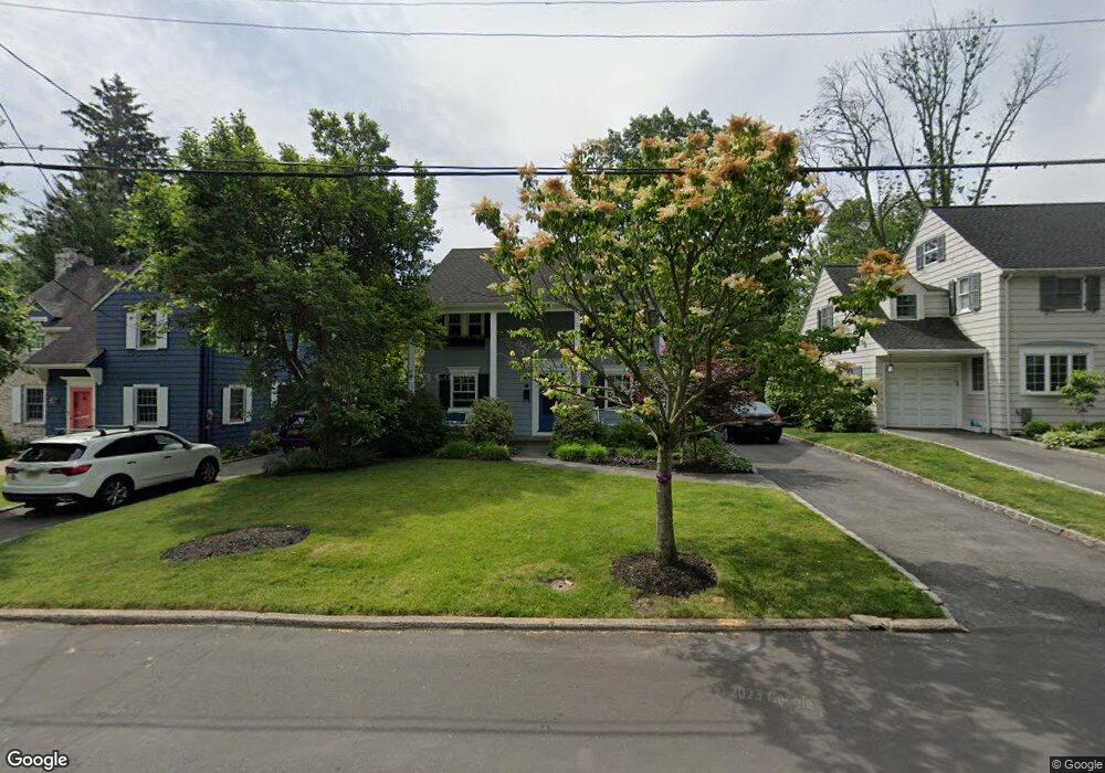
26 Colony Dr Summit, NJ 07901
Estimated Value: $904,000 - $1,709,000
Studio
--
Bath
1,722
Sq Ft
$774/Sq Ft
Est. Value
About This Home
This home is located at 26 Colony Dr, Summit, NJ 07901 and is currently estimated at $1,333,594, approximately $774 per square foot. 26 Colony Dr is a home located in Union County with nearby schools including L C Johnson Summit Middle School, Summit Sr High School, and Oak Knoll School of the Holy Child.
Ownership History
Date
Name
Owned For
Owner Type
Purchase Details
Closed on
Aug 14, 2002
Sold by
Prudential Residential
Bought by
Diamond Richard and Diamond Jennifer
Current Estimated Value
Home Financials for this Owner
Home Financials are based on the most recent Mortgage that was taken out on this home.
Original Mortgage
$495,920
Outstanding Balance
$209,848
Interest Rate
6.55%
Estimated Equity
$1,123,746
Purchase Details
Closed on
Jul 2, 2002
Sold by
Carey Charles
Bought by
Prudential Residential
Home Financials for this Owner
Home Financials are based on the most recent Mortgage that was taken out on this home.
Original Mortgage
$495,920
Outstanding Balance
$209,848
Interest Rate
6.55%
Estimated Equity
$1,123,746
Purchase Details
Closed on
Jun 27, 2000
Sold by
Dewey Paul C and Dewey Alexandra
Bought by
Carey Charles W and Carey Sallie E
Home Financials for this Owner
Home Financials are based on the most recent Mortgage that was taken out on this home.
Original Mortgage
$340,000
Interest Rate
7.12%
Purchase Details
Closed on
Jul 25, 1996
Sold by
Hickey Thomas D and Murray Isobel M
Bought by
Dewey Paul C and Dewey Alexandra
Create a Home Valuation Report for This Property
The Home Valuation Report is an in-depth analysis detailing your home's value as well as a comparison with similar homes in the area
Home Values in the Area
Average Home Value in this Area
Purchase History
| Date | Buyer | Sale Price | Title Company |
|---|---|---|---|
| Diamond Richard | $619,900 | -- | |
| Prudential Residential | $619,900 | -- | |
| Carey Charles W | $523,000 | Chicago Title Insurance Co | |
| Dewey Paul C | $369,500 | Chicago Title Insurance Co |
Source: Public Records
Mortgage History
| Date | Status | Borrower | Loan Amount |
|---|---|---|---|
| Open | Diamond Richard | $495,920 | |
| Previous Owner | Carey Charles W | $340,000 |
Source: Public Records
Tax History
| Year | Tax Paid | Tax Assessment Tax Assessment Total Assessment is a certain percentage of the fair market value that is determined by local assessors to be the total taxable value of land and additions on the property. | Land | Improvement |
|---|---|---|---|---|
| 2025 | $15,107 | $346,800 | $200,000 | $146,800 |
| 2024 | $15,006 | $346,800 | $200,000 | $146,800 |
| 2023 | $15,006 | $346,800 | $200,000 | $146,800 |
| 2022 | $14,853 | $346,800 | $200,000 | $146,800 |
| 2021 | $14,971 | $346,800 | $200,000 | $146,800 |
| 2020 | $15,120 | $346,800 | $200,000 | $146,800 |
| 2019 | $15,138 | $346,800 | $200,000 | $146,800 |
| 2018 | $15,041 | $346,800 | $200,000 | $146,800 |
| 2017 | $15,138 | $346,800 | $200,000 | $146,800 |
| 2016 | $14,916 | $346,800 | $200,000 | $146,800 |
| 2015 | $14,625 | $346,800 | $200,000 | $146,800 |
| 2014 | $14,247 | $346,800 | $200,000 | $146,800 |
Source: Public Records
Map
Nearby Homes
- 67 Tulip St
- 61 Tulip St
- 709 Springfield Ave Unit One
- 709 Springfield Ave Unit 4
- 709 Springfield Ave Unit 2
- 709 Springfield Ave Unit 3
- 40 Prospect St
- 62 Mountain Ave
- 25 Division Ave
- 68 New England Ave Unit 18
- 65 Seven Oaks Dr
- 34 Ascot Way
- 16 Little Wolf Rd
- 20 Pittsford Way
- 157 Grant Ave
- 14 Skylark Rd
- 1 Irving Place
- 17 Badgley Dr
- 6 Lorraine Rd
- 29 Ashwood Ave
- 28 Colony Dr
- 22 Colony Dr
- 20 Colony Dr
- 30 Colony Dr
- 114 Pine Grove Ave
- 12 Glen Oaks Ave
- 10 Glen Oaks Ave
- 116 Pine Grove Ave
- 14 Glen Oaks Ave
- 27 Colony Dr
- 8 Glen Oaks Ave
- 25 Colony Dr
- 29 Colony Dr
- 18 Colony Dr
- 23 Colony Dr
- 118 Pine Grove Ave
- 31 Colony Dr
- 6 Glen Oaks Ave
- 18 Glen Oaks Ave
- 104 Pine Grove Ave
Your Personal Tour Guide
Ask me questions while you tour the home.