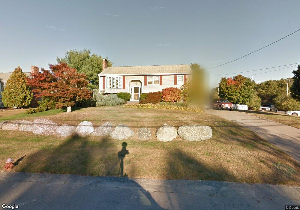
26 Colts Way Attleboro, MA 02703
Estimated Value: $520,000 - $628,000
3
Beds
3
Baths
1,384
Sq Ft
$407/Sq Ft
Est. Value
About This Home
This home is located at 26 Colts Way, Attleboro, MA 02703 and is currently estimated at $563,256, approximately $406 per square foot. 26 Colts Way is a home located in Bristol County with nearby schools including Thomas E. Willett School, Cyril K. Brennan Middle School, and Attleboro High School.
Ownership History
Date
Name
Owned For
Owner Type
Purchase Details
Closed on
Mar 24, 2022
Sold by
Foley Donna M and Foley William F
Bought by
Foley Kevin
Current Estimated Value
Home Financials for this Owner
Home Financials are based on the most recent Mortgage that was taken out on this home.
Original Mortgage
$328,000
Outstanding Balance
$305,085
Interest Rate
3.69%
Mortgage Type
Purchase Money Mortgage
Estimated Equity
$258,171
Purchase Details
Closed on
Jan 1, 1985
Bought by
Foley William F and Foley Donna M
Create a Home Valuation Report for This Property
The Home Valuation Report is an in-depth analysis detailing your home's value as well as a comparison with similar homes in the area
Home Values in the Area
Average Home Value in this Area
Purchase History
| Date | Buyer | Sale Price | Title Company |
|---|---|---|---|
| Foley Kevin | $410,000 | None Available | |
| Foley William F | -- | -- |
Source: Public Records
Mortgage History
| Date | Status | Borrower | Loan Amount |
|---|---|---|---|
| Open | Foley Kevin | $328,000 | |
| Previous Owner | Foley William F | $65,000 | |
| Previous Owner | Foley William F | $83,500 | |
| Previous Owner | Foley William F | $79,000 |
Source: Public Records
Tax History Compared to Growth
Tax History
| Year | Tax Paid | Tax Assessment Tax Assessment Total Assessment is a certain percentage of the fair market value that is determined by local assessors to be the total taxable value of land and additions on the property. | Land | Improvement |
|---|---|---|---|---|
| 2025 | $6,449 | $513,900 | $169,300 | $344,600 |
| 2024 | $6,210 | $487,800 | $152,300 | $335,500 |
| 2023 | $6,054 | $442,200 | $154,000 | $288,200 |
| 2022 | $5,740 | $397,200 | $146,700 | $250,500 |
| 2021 | $5,338 | $360,700 | $141,200 | $219,500 |
| 2020 | $4,984 | $342,300 | $134,900 | $207,400 |
| 2019 | $3,199 | $332,700 | $132,500 | $200,200 |
| 2018 | $4,517 | $304,800 | $128,600 | $176,200 |
| 2017 | $4,394 | $302,000 | $125,300 | $176,700 |
| 2016 | $4,081 | $275,400 | $117,000 | $158,400 |
| 2015 | $4,029 | $273,900 | $117,000 | $156,900 |
| 2014 | $3,864 | $260,200 | $111,900 | $148,300 |
Source: Public Records
Map
Nearby Homes
- 8 Pasture Brook Rd
- 18 Colts Way
- 27 Colts Way
- 5 Farmers Ln
- 34 Colts Way
- 35 Colts Way
- 19 Colts Way
- 3 Pasture Brook Rd
- 14 Pasture Brook Rd
- 14 Pasture Brook Rd Unit 1
- 11 Farmers Ln
- 43 Colts Way
- 11 Colts Way
- 10 Colts Way
- 42 Colts Way
- 84 Ashden Ct
- 9 Pasture Brook Rd
- 6 Farmers Ln
- 6 Colonial Way
- 76 Ashden Ct