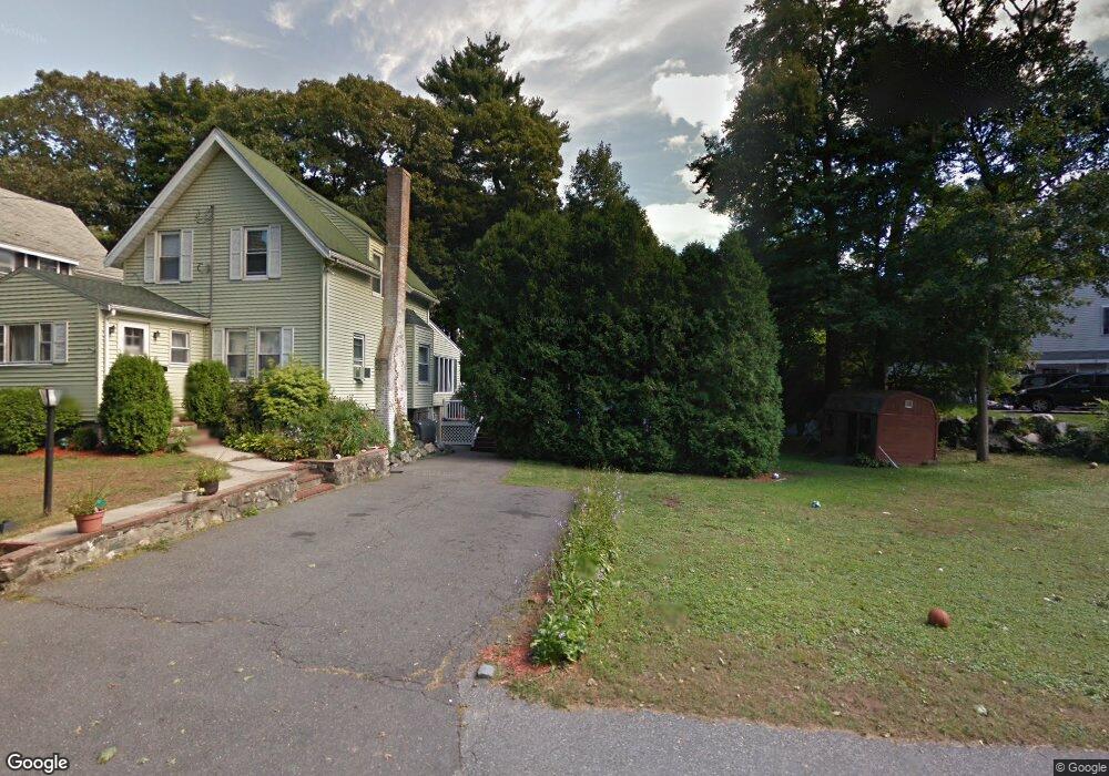
26 Crystal St Wakefield, MA 01880
Greenwood NeighborhoodEstimated Value: $767,000 - $988,320
3
Beds
2
Baths
1,300
Sq Ft
$679/Sq Ft
Est. Value
About This Home
This home is located at 26 Crystal St, Wakefield, MA 01880 and is currently estimated at $882,830, approximately $679 per square foot. 26 Crystal St is a home located in Middlesex County with nearby schools including Wakefield Memorial High School, Melrose Montessori School, and St. Patrick Elementary School.
Ownership History
Date
Name
Owned For
Owner Type
Purchase Details
Closed on
Jul 18, 2013
Sold by
Hathorne Robert K
Bought by
Hathorne Robert K and Hathorne Mary T
Current Estimated Value
Purchase Details
Closed on
Jan 13, 1998
Sold by
Hathorne Claire P
Bought by
Old Mill Rt
Home Financials for this Owner
Home Financials are based on the most recent Mortgage that was taken out on this home.
Original Mortgage
$576,000
Interest Rate
7.09%
Mortgage Type
Purchase Money Mortgage
Create a Home Valuation Report for This Property
The Home Valuation Report is an in-depth analysis detailing your home's value as well as a comparison with similar homes in the area
Home Values in the Area
Average Home Value in this Area
Purchase History
| Date | Buyer | Sale Price | Title Company |
|---|---|---|---|
| Hathorne Robert K | -- | -- | |
| Old Mill Rt | $80,000 | -- |
Source: Public Records
Mortgage History
| Date | Status | Borrower | Loan Amount |
|---|---|---|---|
| Previous Owner | Old Mill Rt | $50,000 | |
| Previous Owner | Old Mill Rt | $576,000 | |
| Previous Owner | Old Mill Rt | $40,000 |
Source: Public Records
Tax History Compared to Growth
Tax History
| Year | Tax Paid | Tax Assessment Tax Assessment Total Assessment is a certain percentage of the fair market value that is determined by local assessors to be the total taxable value of land and additions on the property. | Land | Improvement |
|---|---|---|---|---|
| 2025 | $8,942 | $787,800 | $438,100 | $349,700 |
| 2024 | $9,030 | $802,700 | $446,400 | $356,300 |
| 2023 | $6,861 | $584,900 | $406,800 | $178,100 |
| 2022 | $7,118 | $577,800 | $360,000 | $217,800 |
| 2021 | $6,929 | $544,300 | $332,600 | $211,700 |
| 2020 | $6,437 | $504,100 | $308,100 | $196,000 |
| 2019 | $6,207 | $483,800 | $295,700 | $188,100 |
| 2018 | $5,903 | $455,800 | $278,500 | $177,300 |
| 2017 | $5,629 | $432,000 | $264,000 | $168,000 |
| 2016 | $5,400 | $400,300 | $241,700 | $158,600 |
| 2015 | $5,294 | $392,700 | $237,100 | $155,600 |
| 2014 | $4,827 | $377,700 | $228,000 | $149,700 |
Source: Public Records
Map
Nearby Homes
- 81 Spring St
- 1 Ludlow Ave
- 2 Overlook Rd
- 24 Myrtle Ave
- 126 Ashland St
- 3 Hickory Hill Rd Unit 1
- 119 W Highland Ave Unit 1
- 569 Franklin St Unit 1
- 569 Franklin St Unit 3
- 974 Main St Unit 30
- 6 Lovis Ave
- 9 Lovis Ave
- 24 Ellsworth Ave
- 27 Pratt St
- 61 Forest St
- 14 Dinanno Rd
- 39 Tamarock Terrace
- 51 Melrose St Unit 1C
- 95 Greenwood Ave
- 22 Mount Zion Rd