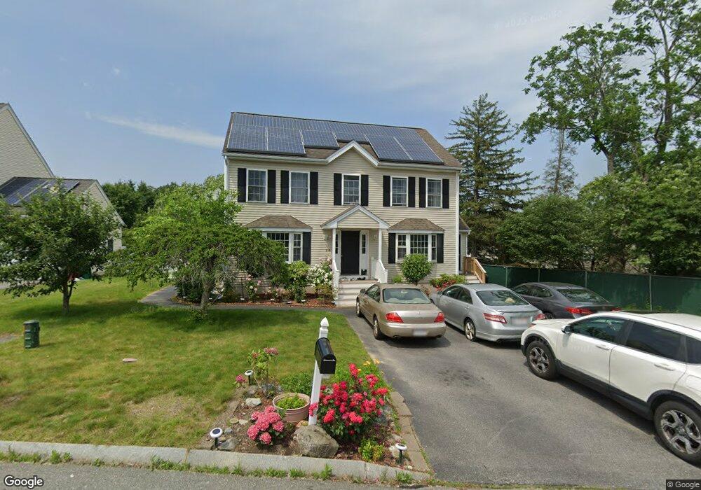
26 Dabby Way Lowell, MA 01854
Pawtucketville NeighborhoodEstimated Value: $665,000 - $771,000
4
Beds
4
Baths
2,424
Sq Ft
$296/Sq Ft
Est. Value
About This Home
This home is located at 26 Dabby Way, Lowell, MA 01854 and is currently estimated at $718,653, approximately $296 per square foot. 26 Dabby Way is a home located in Middlesex County with nearby schools including Joseph McAvinnue Elementary School, Charlotte M. Murkland Elementary School, and Dr. Gertrude Bailey Elementary School.
Ownership History
Date
Name
Owned For
Owner Type
Purchase Details
Closed on
Dec 15, 2003
Sold by
Apg Rt and Dabilis
Bought by
Som Sakhana S and Som Kanolin
Current Estimated Value
Home Financials for this Owner
Home Financials are based on the most recent Mortgage that was taken out on this home.
Original Mortgage
$280,000
Outstanding Balance
$129,928
Interest Rate
5.9%
Mortgage Type
Purchase Money Mortgage
Estimated Equity
$588,725
Create a Home Valuation Report for This Property
The Home Valuation Report is an in-depth analysis detailing your home's value as well as a comparison with similar homes in the area
Home Values in the Area
Average Home Value in this Area
Purchase History
| Date | Buyer | Sale Price | Title Company |
|---|---|---|---|
| Som Sakhana S | $350,000 | -- | |
| Som Sakhana S | $350,000 | -- |
Source: Public Records
Mortgage History
| Date | Status | Borrower | Loan Amount |
|---|---|---|---|
| Open | Som Sakhana S | $280,000 | |
| Closed | Som Sakhana S | $280,000 |
Source: Public Records
Tax History Compared to Growth
Tax History
| Year | Tax Paid | Tax Assessment Tax Assessment Total Assessment is a certain percentage of the fair market value that is determined by local assessors to be the total taxable value of land and additions on the property. | Land | Improvement |
|---|---|---|---|---|
| 2025 | $7,023 | $611,800 | $184,600 | $427,200 |
| 2024 | $7,144 | $599,800 | $172,600 | $427,200 |
| 2023 | $7,002 | $563,800 | $150,000 | $413,800 |
| 2022 | $6,443 | $507,700 | $136,400 | $371,300 |
| 2021 | $6,033 | $448,200 | $118,600 | $329,600 |
| 2020 | $5,836 | $436,800 | $121,000 | $315,800 |
| 2019 | $5,828 | $415,100 | $106,500 | $308,600 |
| 2018 | $5,897 | $409,800 | $101,500 | $308,300 |
| 2017 | $5,626 | $377,100 | $92,300 | $284,800 |
| 2016 | $5,500 | $362,800 | $86,100 | $276,700 |
| 2015 | $5,189 | $335,200 | $84,200 | $251,000 |
| 2013 | $4,919 | $327,700 | $105,900 | $221,800 |
Source: Public Records
Map
Nearby Homes
- 101 Laurie Ln
- 6 Louis Farm Rd Unit 6
- 3 Louis Farm Rd Unit 3
- 69 Coburn Dr
- 49 Coburn Dr
- 54 Shirley Ave
- 527 Pawtucket Blvd Unit 304
- 20 Sandy Ln
- 1975 Middlesex St Unit 51
- 1975 Middlesex St Unit 10
- 240 Trotting Park Rd
- 307 Pawtucket Blvd Unit 13
- 24 Brouilette St Unit A
- 295 Pawtucket Blvd Unit 7
- 1370 Varnum Ave
- 1820 Skyline Dr Unit 18
- 70 Pawtucket Dr
- 1401 Pawtucket Blvd Unit 10
- 770 Princeton Blvd
- 4 Tamarack St