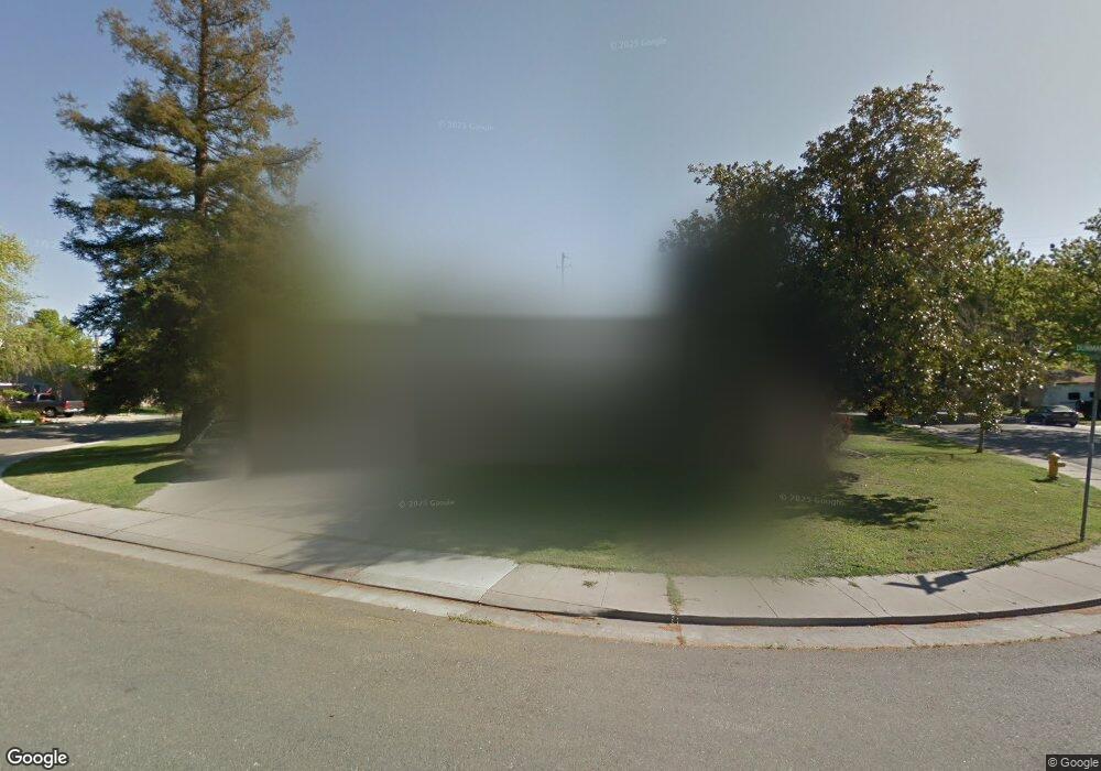
26 Dunmar Ln Unit 1 Stockton, CA 95207
Lincoln Village NeighborhoodEstimated Value: $229,000 - $364,000
3
Beds
1
Bath
1,104
Sq Ft
$291/Sq Ft
Est. Value
About This Home
This home is located at 26 Dunmar Ln Unit 1, Stockton, CA 95207 and is currently estimated at $321,603, approximately $291 per square foot. 26 Dunmar Ln Unit 1 is a home located in San Joaquin County with nearby schools including Maxine Hong Kingston Elementary School, Adams Elementary School, and Pulliam Elementary School.
Ownership History
Date
Name
Owned For
Owner Type
Purchase Details
Closed on
Sep 5, 1996
Sold by
Oshier Ronald David and Oshier Nancy Lee
Bought by
Smith Raymond Sean and Smith Lynn Michelle
Current Estimated Value
Home Financials for this Owner
Home Financials are based on the most recent Mortgage that was taken out on this home.
Original Mortgage
$91,252
Outstanding Balance
$7,857
Interest Rate
8.23%
Mortgage Type
VA
Estimated Equity
$313,746
Create a Home Valuation Report for This Property
The Home Valuation Report is an in-depth analysis detailing your home's value as well as a comparison with similar homes in the area
Home Values in the Area
Average Home Value in this Area
Purchase History
| Date | Buyer | Sale Price | Title Company |
|---|---|---|---|
| Smith Raymond Sean | $84,000 | Fidelity National Title Co |
Source: Public Records
Mortgage History
| Date | Status | Borrower | Loan Amount |
|---|---|---|---|
| Open | Smith Raymond Sean | $91,252 |
Source: Public Records
Tax History Compared to Growth
Tax History
| Year | Tax Paid | Tax Assessment Tax Assessment Total Assessment is a certain percentage of the fair market value that is determined by local assessors to be the total taxable value of land and additions on the property. | Land | Improvement |
|---|---|---|---|---|
| 2025 | $1,662 | $136,792 | $48,852 | $87,940 |
| 2024 | $1,633 | $134,111 | $47,895 | $86,216 |
| 2023 | $1,595 | $131,482 | $46,956 | $84,526 |
| 2022 | $1,539 | $128,905 | $46,036 | $82,869 |
| 2021 | $1,477 | $126,379 | $45,134 | $81,245 |
| 2020 | $1,505 | $125,084 | $44,672 | $80,412 |
| 2019 | $1,497 | $122,633 | $43,797 | $78,836 |
| 2018 | $1,467 | $120,230 | $42,939 | $77,291 |
| 2017 | $1,389 | $117,874 | $42,098 | $75,776 |
| 2016 | $1,412 | $115,564 | $41,273 | $74,291 |
| 2014 | $1,341 | $111,599 | $39,857 | $71,742 |
Source: Public Records
Map
Nearby Homes
- 20 W Norwich Dr
- 126 Nottingham Dr
- 5806 N El Dorado St
- 210 W Pearl Ave
- 311 W Norwich Dr
- 5614 Tamworth Way
- 6009 Glenbrook Ln
- 5536 Kermit Ln
- 5662 Kermit Ln
- 6510 N El Dorado St
- 5416 Ridgeway Ave
- 722 E Swain Rd
- 5511 Audrey Dr
- 806 E Longview Ave
- 7 W Loretta Ave
- 36 Lynda Ave
- 5622 Jeffrey Ct
- 813 Cave Ln
- 150 Gateway Ct
- 332 Jean Ave
- 24 Dunmar Ln
- 21 W Mayfair Ave
- 31 Dunmar Ln
- 24 W Mayfair Ave Unit 1
- 27 Dunmar Ln
- 26 W Mayfair Ave
- 29 Dunmar Ln
- 22 W Mayfair Ave
- 22 Dunmar Ln
- 19 W Mayfair Ave
- 25 Dunmar Ln
- 102 W Mayfair Ave
- 20 Dunmar Ln
- 23 Dunmar Ln
- 106 W Mayfair Ave
- 106 W Longview Ave
- 23 W Norwich Dr
- 18 W Mayfair Ave
- 29 W Norwich Dr
- 21 W Norwich Dr