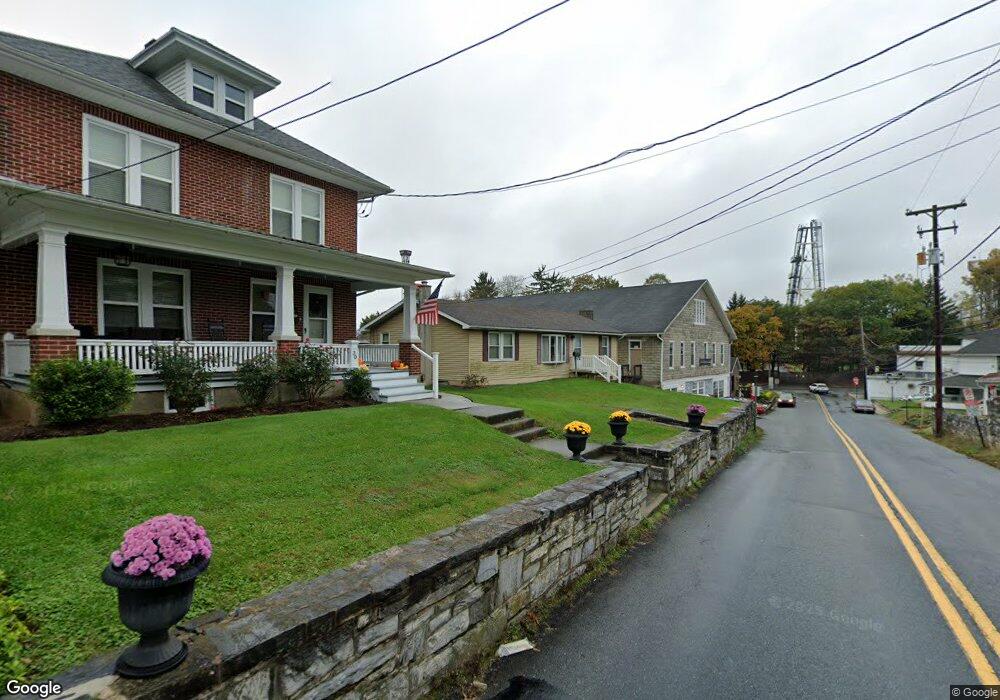
26 E Derry Rd Hershey, PA 17033
Estimated Value: $250,000 - $296,762
3
Beds
2
Baths
1,152
Sq Ft
$235/Sq Ft
Est. Value
About This Home
This home is located at 26 E Derry Rd, Hershey, PA 17033 and is currently estimated at $270,441, approximately $234 per square foot. 26 E Derry Rd is a home located in Dauphin County with nearby schools including Hershey Elementary School, Hershey Primary Elementary School, and Hershey Middle School.
Ownership History
Date
Name
Owned For
Owner Type
Purchase Details
Closed on
Sep 22, 2023
Sold by
Blouch Edith D
Bought by
King Olivia and Weader Nathan
Current Estimated Value
Home Financials for this Owner
Home Financials are based on the most recent Mortgage that was taken out on this home.
Original Mortgage
$170,400
Outstanding Balance
$166,932
Interest Rate
7.18%
Mortgage Type
New Conventional
Estimated Equity
$103,509
Create a Home Valuation Report for This Property
The Home Valuation Report is an in-depth analysis detailing your home's value as well as a comparison with similar homes in the area
Home Values in the Area
Average Home Value in this Area
Purchase History
| Date | Buyer | Sale Price | Title Company |
|---|---|---|---|
| King Olivia | $213,000 | None Listed On Document |
Source: Public Records
Mortgage History
| Date | Status | Borrower | Loan Amount |
|---|---|---|---|
| Open | King Olivia | $170,400 |
Source: Public Records
Tax History
| Year | Tax Paid | Tax Assessment Tax Assessment Total Assessment is a certain percentage of the fair market value that is determined by local assessors to be the total taxable value of land and additions on the property. | Land | Improvement |
|---|---|---|---|---|
| 2025 | $2,957 | $94,600 | $33,000 | $61,600 |
| 2024 | $2,779 | $94,600 | $33,000 | $61,600 |
| 2023 | $2,729 | $94,600 | $33,000 | $61,600 |
| 2022 | $2,669 | $94,600 | $33,000 | $61,600 |
| 2021 | $2,669 | $94,600 | $33,000 | $61,600 |
| 2020 | $2,669 | $94,600 | $33,000 | $61,600 |
| 2019 | $2,620 | $94,600 | $33,000 | $61,600 |
| 2018 | $2,551 | $94,600 | $33,000 | $61,600 |
| 2017 | $2,551 | $94,600 | $33,000 | $61,600 |
| 2016 | $0 | $94,600 | $33,000 | $61,600 |
| 2015 | -- | $94,600 | $33,000 | $61,600 |
| 2014 | -- | $94,600 | $33,000 | $61,600 |
Source: Public Records
Map
Nearby Homes
Your Personal Tour Guide
Ask me questions while you tour the home.