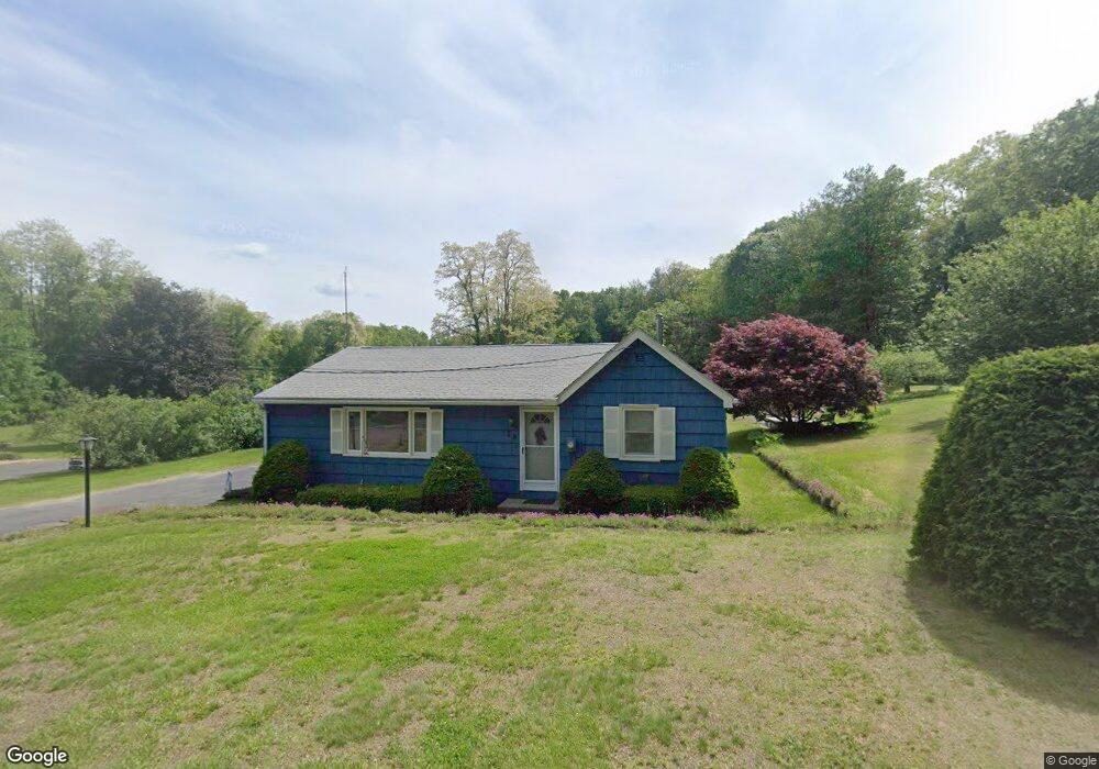
26 Gunn Rd Southampton, MA 01073
Estimated Value: $375,000 - $461,000
3
Beds
2
Baths
1,196
Sq Ft
$349/Sq Ft
Est. Value
About This Home
This home is located at 26 Gunn Rd, Southampton, MA 01073 and is currently estimated at $417,355, approximately $348 per square foot. 26 Gunn Rd is a home located in Hampshire County with nearby schools including William E Norris School, Calvary Baptist Christian School, and The Williston Northampton School.
Ownership History
Date
Name
Owned For
Owner Type
Purchase Details
Closed on
Jan 26, 2023
Sold by
Strader Ronald B and Strader Margaret T
Bought by
Strader Robin B and Brannigan Debra A
Current Estimated Value
Purchase Details
Closed on
Jul 15, 2016
Sold by
Rigali James M
Bought by
Cody A Carson Irt
Purchase Details
Closed on
Sep 26, 1962
Bought by
Strader Ronald B and Strader Margaret T
Create a Home Valuation Report for This Property
The Home Valuation Report is an in-depth analysis detailing your home's value as well as a comparison with similar homes in the area
Home Values in the Area
Average Home Value in this Area
Purchase History
| Date | Buyer | Sale Price | Title Company |
|---|---|---|---|
| Strader Robin B | -- | None Available | |
| Cody A Carson Irt | $260,000 | -- | |
| Strader Ronald B | -- | -- |
Source: Public Records
Mortgage History
| Date | Status | Borrower | Loan Amount |
|---|---|---|---|
| Previous Owner | Strader Ronald B | $25,000 | |
| Previous Owner | Strader Ronald B | $60,000 | |
| Previous Owner | Strader Ronald B | $135,000 | |
| Previous Owner | Strader Ronald B | $132,000 |
Source: Public Records
Tax History Compared to Growth
Tax History
| Year | Tax Paid | Tax Assessment Tax Assessment Total Assessment is a certain percentage of the fair market value that is determined by local assessors to be the total taxable value of land and additions on the property. | Land | Improvement |
|---|---|---|---|---|
| 2025 | $4,354 | $307,300 | $143,800 | $163,500 |
| 2024 | $4,281 | $300,400 | $143,800 | $156,600 |
| 2023 | $4,164 | $290,600 | $143,800 | $146,800 |
| 2022 | $4,116 | $273,100 | $135,200 | $137,900 |
| 2021 | $3,357 | $254,100 | $127,800 | $126,300 |
| 2020 | $4,040 | $255,400 | $127,800 | $127,600 |
| 2019 | $3,387 | $245,900 | $127,800 | $118,100 |
| 2018 | $3,787 | $226,500 | $116,500 | $110,000 |
| 2017 | $3,696 | $226,500 | $116,500 | $110,000 |
| 2015 | $3,571 | $227,300 | $117,300 | $110,000 |
Source: Public Records
Map
Nearby Homes
- 10 Parc Place Unit 2
- 68 College Hwy
- 17 Glendale Rd
- 38 College Hwy
- 43 Pomeroy Meadow Rd
- 12 Golden Cir
- 10 Golden Cir
- 216 College Hwy
- 26 Eastwood Ln
- Lot 6 Gil Farm Rd
- Lot 5 Gil Farm Rd
- 0 Glendale Rd
- 23 John St
- 40 Strong Rd
- 6 S St & Abutting Lots
- 41 South St Unit 17
- 64 South St Unit 7
- 13 Golden Dr
- 63 Pomeroy St
- 385 Main St