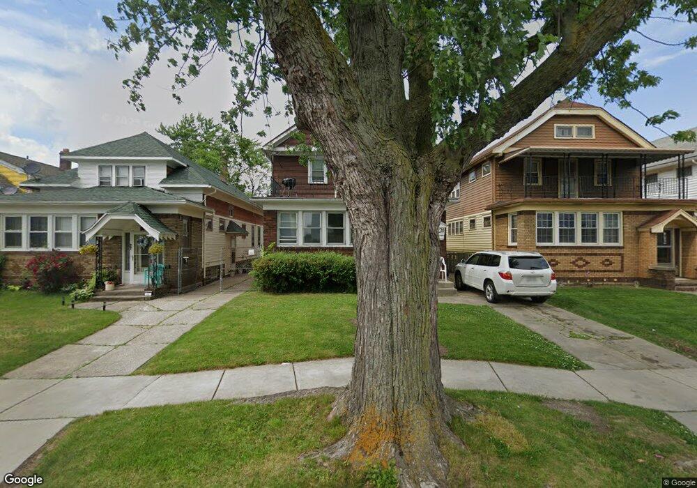
26 Hempstead Ave Buffalo, NY 14215
Kenfield NeighborhoodEstimated Value: $178,524 - $237,000
6
Beds
2
Baths
2,508
Sq Ft
$85/Sq Ft
Est. Value
About This Home
This home is located at 26 Hempstead Ave, Buffalo, NY 14215 and is currently estimated at $213,131, approximately $84 per square foot. 26 Hempstead Ave is a home located in Erie County with nearby schools including Westminster Community Charter School, Charter School Of Inquiry, and King Center Charter School.
Ownership History
Date
Name
Owned For
Owner Type
Purchase Details
Closed on
Oct 21, 2005
Sold by
James Christine E and Johnson Christine E
Bought by
Miguel Reynaldo
Current Estimated Value
Home Financials for this Owner
Home Financials are based on the most recent Mortgage that was taken out on this home.
Original Mortgage
$59,415
Interest Rate
5.93%
Mortgage Type
Purchase Money Mortgage
Purchase Details
Closed on
Aug 14, 2000
Sold by
Wang Chiu Sheng and Wang Su Mei
Bought by
James Damone J
Purchase Details
Closed on
Jul 7, 1997
Create a Home Valuation Report for This Property
The Home Valuation Report is an in-depth analysis detailing your home's value as well as a comparison with similar homes in the area
Home Values in the Area
Average Home Value in this Area
Purchase History
| Date | Buyer | Sale Price | Title Company |
|---|---|---|---|
| Miguel Reynaldo | $69,900 | None Available | |
| James Damone J | $55,000 | -- | |
| -- | -- | -- |
Source: Public Records
Mortgage History
| Date | Status | Borrower | Loan Amount |
|---|---|---|---|
| Previous Owner | Miguel Reynaldo | $59,415 |
Source: Public Records
Tax History Compared to Growth
Tax History
| Year | Tax Paid | Tax Assessment Tax Assessment Total Assessment is a certain percentage of the fair market value that is determined by local assessors to be the total taxable value of land and additions on the property. | Land | Improvement |
|---|---|---|---|---|
| 2024 | $347 | $62,000 | $4,800 | $57,200 |
| 2023 | $314 | $62,000 | $4,800 | $57,200 |
| 2022 | $312 | $62,000 | $4,800 | $57,200 |
| 2021 | $312 | $62,000 | $4,800 | $57,200 |
| 2020 | $466 | $62,000 | $4,800 | $57,200 |
| 2019 | $1,660 | $60,500 | $4,600 | $55,900 |
| 2018 | $1,562 | $60,500 | $4,600 | $55,900 |
| 2017 | $360 | $60,500 | $4,600 | $55,900 |
| 2016 | $1,473 | $60,500 | $4,600 | $55,900 |
| 2015 | -- | $60,500 | $4,600 | $55,900 |
| 2014 | -- | $60,500 | $4,600 | $55,900 |
Source: Public Records
Map
Nearby Homes
- 73 Oakmont Ave
- 35 Erskine Ave
- 106 Berwyn Ave
- 79 Andover Ave
- 247 & 249 Dox Ave
- 305 Warwick Ave
- 90 Alma Ave
- 275 Olympic Ave
- 83 Collingwood Ave
- 2961 Bailey Ave
- 39 Manhart St
- 157 Roosevelt Ave
- 65 Alma Ave
- 597 Norfolk Ave
- 28 Alma Ave
- 635 Norfolk Ave
- 639 Norfolk Ave
- 226 Olympic Ave
- 105 Dorris Ave
- 14 Phyllis Ave
- 30 Hempstead Ave
- 22 Hempstead Ave
- 20 Hempstead Ave
- 32 Hempstead Ave
- 36 Hempstead Ave
- 25 Ruspin Ave
- 29 Ruspin Ave
- 21 Ruspin Ave
- 40 Hempstead Ave
- 19 Ruspin Ave
- 31 Ruspin Ave
- 31 Ruspin Ave Unit Lower
- 31 Ruspin Ave
- 35 Ruspin Ave
- 44 Hempstead Ave
- 25 Hempstead Ave
- 21 Hempstead Ave
- 29 Hempstead Ave
- 39 Ruspin Ave
- 31 Hempstead Ave