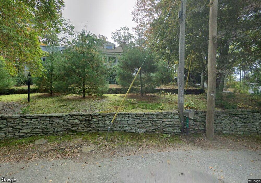
26 Hill Top Rd East Haddam, CT 06423
Estimated Value: $359,000 - $443,000
2
Beds
2
Baths
1,468
Sq Ft
$268/Sq Ft
Est. Value
About This Home
This home is located at 26 Hill Top Rd, East Haddam, CT 06423 and is currently estimated at $394,014, approximately $268 per square foot. 26 Hill Top Rd is a home located in Middlesex County with nearby schools including East Haddam Elementary School, Nathan Hale-Ray Middle School, and Nathan Hale-Ray High School.
Ownership History
Date
Name
Owned For
Owner Type
Purchase Details
Closed on
Jul 1, 1998
Sold by
Rowe David W
Bought by
Collette Kathleen R and Collette Alan B
Current Estimated Value
Purchase Details
Closed on
Jan 9, 1992
Sold by
Hobbs Joseph O and Hobbs Allison
Bought by
Rowe David W and Rowe Jonelle
Home Financials for this Owner
Home Financials are based on the most recent Mortgage that was taken out on this home.
Original Mortgage
$75,200
Interest Rate
8.64%
Create a Home Valuation Report for This Property
The Home Valuation Report is an in-depth analysis detailing your home's value as well as a comparison with similar homes in the area
Home Values in the Area
Average Home Value in this Area
Purchase History
| Date | Buyer | Sale Price | Title Company |
|---|---|---|---|
| Collette Kathleen R | $102,500 | -- | |
| Rowe David W | $94,000 | -- |
Source: Public Records
Mortgage History
| Date | Status | Borrower | Loan Amount |
|---|---|---|---|
| Previous Owner | Rowe David W | $75,200 |
Source: Public Records
Tax History Compared to Growth
Tax History
| Year | Tax Paid | Tax Assessment Tax Assessment Total Assessment is a certain percentage of the fair market value that is determined by local assessors to be the total taxable value of land and additions on the property. | Land | Improvement |
|---|---|---|---|---|
| 2025 | $5,844 | $208,280 | $80,950 | $127,330 |
| 2024 | $5,574 | $208,280 | $80,950 | $127,330 |
| 2023 | $5,363 | $208,280 | $80,950 | $127,330 |
| 2022 | $4,873 | $153,300 | $73,920 | $79,380 |
| 2021 | $4,666 | $153,300 | $73,920 | $79,380 |
| 2020 | $4,666 | $153,300 | $73,920 | $79,380 |
| 2019 | $4,666 | $153,300 | $73,920 | $79,380 |
| 2018 | $4,547 | $153,300 | $73,920 | $79,380 |
| 2017 | $3,713 | $125,510 | $73,920 | $51,590 |
| 2016 | $3,684 | $125,510 | $73,920 | $51,590 |
| 2015 | $3,600 | $125,510 | $73,920 | $51,590 |
| 2014 | $3,502 | $125,510 | $73,920 | $51,590 |
Source: Public Records
Map
Nearby Homes
- 8 Tom Rd
- 42 Dogwood Rd
- 114 Lakeside Dr
- 53 Falls Bashan Rd
- 154 Falls Rd
- 0 Lakeside Dr
- 21 Olmstead Rd
- 45 Alger Rd
- 23 Olmstead Rd
- 112 Schulman Veslak Rd
- 53 Falls Rd
- 63 Schulman Veslak Rd
- 5 Joe Williams Rd
- 115 Lakeview Dr
- 55 Bogel Rd
- 145 Lakeview Dr
- 213 Waterhole Rd
- 398 E Haddam Moodus Rd
- 213 Lakeview Dr
- 115 Sillimanville Rd
- 30 Hill Top Rd
- 24 Hill Top Rd
- 29 Hill Top Rd
- 31 Hill Top Rd
- 33 Hill Top Rd
- 32 Hill Top Rd
- 35 Hill Top Rd
- 72 Hill Top Rd
- 37 Hill Top Rd
- 21 Hill Top Rd
- 21 Hill Top Rd
- 39 Hill Top Rd
- 34 Hill Top Rd
- 14 Maple Rd
- 0 Pine Rd Unit G506314
- 38 Hill Top Rd
- 16 Hill Top Rd
- 4 Maple Rd
- 18 Hill Top Rd
- 11 Hill Top Rd