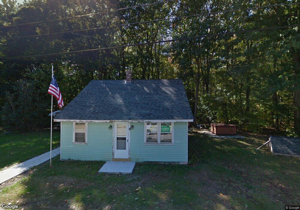
26 Howe Rd Rollinsford, NH 03869
Estimated Value: $247,111 - $436,000
3
Beds
1
Bath
1,287
Sq Ft
$252/Sq Ft
Est. Value
About This Home
This home is located at 26 Howe Rd, Rollinsford, NH 03869 and is currently estimated at $323,778, approximately $251 per square foot. 26 Howe Rd is a home located in Strafford County with nearby schools including Rollinsford Grade School, Tri-City Christian Academy, and Seacoast Christian School.
Ownership History
Date
Name
Owned For
Owner Type
Purchase Details
Closed on
Nov 19, 2021
Sold by
Hapgood Jeffrey and Hapgood Donna
Bought by
Lucas Matthew A and Lucas Pamela P
Current Estimated Value
Home Financials for this Owner
Home Financials are based on the most recent Mortgage that was taken out on this home.
Original Mortgage
$140,000
Outstanding Balance
$128,286
Interest Rate
2.99%
Mortgage Type
Purchase Money Mortgage
Estimated Equity
$195,492
Purchase Details
Closed on
Jan 15, 2010
Sold by
Dearborn Doreen M
Bought by
Hapgood Jeffery S and Hapgood Donna M
Home Financials for this Owner
Home Financials are based on the most recent Mortgage that was taken out on this home.
Original Mortgage
$61,224
Interest Rate
4.95%
Mortgage Type
Unknown
Create a Home Valuation Report for This Property
The Home Valuation Report is an in-depth analysis detailing your home's value as well as a comparison with similar homes in the area
Home Values in the Area
Average Home Value in this Area
Purchase History
| Date | Buyer | Sale Price | Title Company |
|---|---|---|---|
| Lucas Matthew A | $175,000 | None Available | |
| Hapgood Jeffery S | $60,000 | -- |
Source: Public Records
Mortgage History
| Date | Status | Borrower | Loan Amount |
|---|---|---|---|
| Open | Lucas Matthew A | $140,000 | |
| Previous Owner | Hapgood Jeffery S | $61,224 | |
| Previous Owner | Hapgood Jeffery S | $61,224 |
Source: Public Records
Tax History Compared to Growth
Tax History
| Year | Tax Paid | Tax Assessment Tax Assessment Total Assessment is a certain percentage of the fair market value that is determined by local assessors to be the total taxable value of land and additions on the property. | Land | Improvement |
|---|---|---|---|---|
| 2024 | $3,226 | $196,600 | $96,500 | $100,100 |
| 2023 | $3,024 | $196,600 | $96,500 | $100,100 |
| 2022 | $2,821 | $189,700 | $96,500 | $93,200 |
| 2021 | $3,474 | $142,500 | $82,600 | $59,900 |
| 2020 | $3,517 | $142,500 | $82,600 | $59,900 |
| 2019 | $3,222 | $142,500 | $82,600 | $59,900 |
| 2018 | $3,440 | $142,500 | $82,600 | $59,900 |
| 2016 | $2,988 | $106,800 | $54,000 | $52,800 |
| 2015 | $2,930 | $106,800 | $54,000 | $52,800 |
| 2014 | $2,830 | $106,800 | $54,000 | $52,800 |
| 2013 | $2,871 | $106,800 | $54,000 | $52,800 |
Source: Public Records
Map
Nearby Homes
- 72 Moses Carr Rd
- 3 Bennett St
- 10 Turgeon's Ln
- 17 2nd St
- 29 Buffumsville Rd
- 442 Prospect St
- 14 Central St
- 22 Indigo Hill Rd
- 26 Stevens Ct
- 8 Myrtle St
- 208 Main St
- 37 Franklin St
- 22B Birch Hill Ln Unit 22B
- 19A Birch Hill Ln Unit 19A
- 27B Birch Hill Ln Unit 27B
- 22A Birch Hill Ln Unit 22A
- 23B Birch Hill Ln Unit 23B
- 23A Birch Hill Ln Unit 23A
- 19B Birch Hill Ln Unit 19B
- 13 Guy St
- 27 Howe Rd
- 22 Howe Rd
- 51 Howe Rd
- 18 Howe Rd
- 19 Howe Rd
- 8 Howe Rd
- 7 Howe Rd Unit 2-027
- 73 Moses Carr Rd
- 50 Howe Rd
- 116 Somersworth Rd
- 160 Somersworth Rd
- 144 Somersworth Rd
- 63 Moses Carr Rd
- 425 Main St
- 64 Moses Carr Rd
- 17 Old Indigo Hill Rd
- 216 Rollinsford Rd
- 53 Moses Carr Rd
- 117 Heritage Dr
- 427 Main St