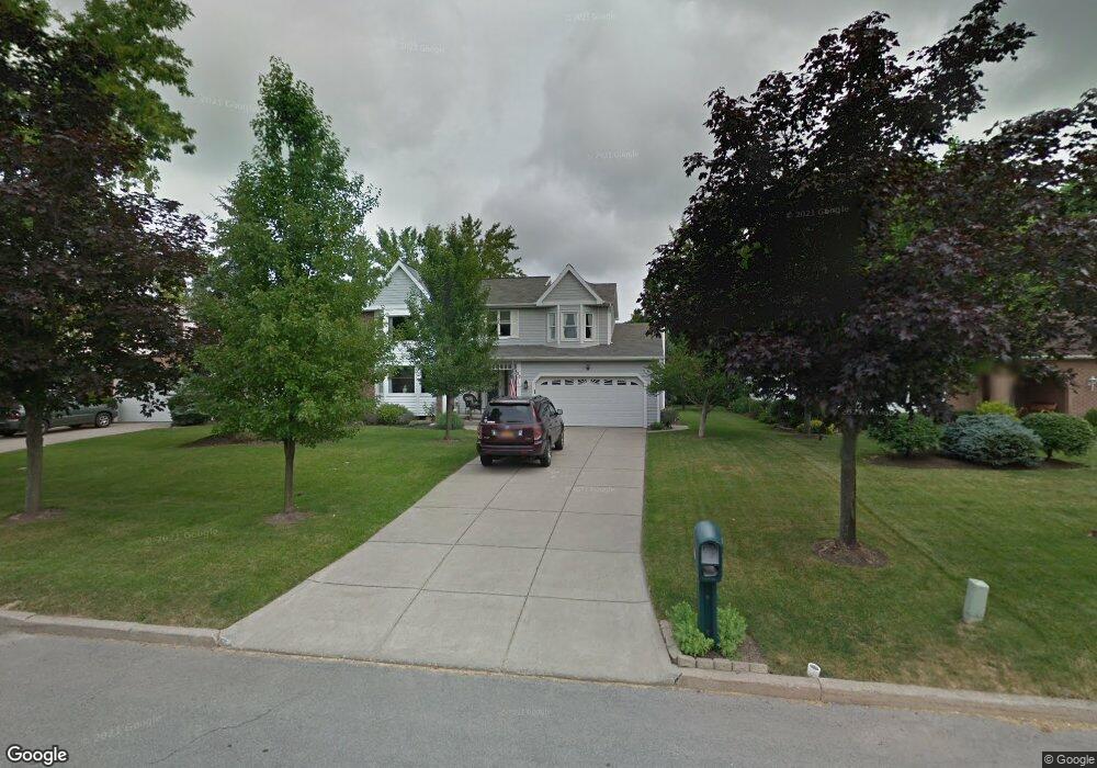
26 Independence Dr Lockport, NY 14094
Estimated Value: $348,000 - $383,000
4
Beds
3
Baths
2,308
Sq Ft
$157/Sq Ft
Est. Value
About This Home
This home is located at 26 Independence Dr, Lockport, NY 14094 and is currently estimated at $362,364, approximately $157 per square foot. 26 Independence Dr is a home located in Niagara County with nearby schools including Aaron Mossell Junior High School, Lockport High School, and DeSales Catholic School.
Ownership History
Date
Name
Owned For
Owner Type
Purchase Details
Closed on
Jun 15, 2006
Sold by
Sargent Jeffery
Bought by
Bernardi Erik
Current Estimated Value
Purchase Details
Closed on
Nov 15, 2002
Sold by
Arnold Christopher C
Bought by
Sargent Jeffrey P
Purchase Details
Closed on
Jul 28, 1999
Sold by
Connolly Kevin R
Bought by
Arnold Christopher
Create a Home Valuation Report for This Property
The Home Valuation Report is an in-depth analysis detailing your home's value as well as a comparison with similar homes in the area
Home Values in the Area
Average Home Value in this Area
Purchase History
| Date | Buyer | Sale Price | Title Company |
|---|---|---|---|
| Bernardi Erik | $170,000 | Thomas Dimillo | |
| Sargent Jeffrey P | $155,000 | Angela Stamm-Phillipps | |
| Arnold Christopher | $134,900 | Henry W Schmidt |
Source: Public Records
Tax History
| Year | Tax Paid | Tax Assessment Tax Assessment Total Assessment is a certain percentage of the fair market value that is determined by local assessors to be the total taxable value of land and additions on the property. | Land | Improvement |
|---|---|---|---|---|
| 2024 | $6,909 | $272,000 | $19,500 | $252,500 |
| 2023 | $6,967 | $267,000 | $19,500 | $247,500 |
| 2022 | $5,473 | $245,000 | $19,500 | $225,500 |
| 2021 | $5,908 | $165,700 | $19,300 | $146,400 |
| 2020 | $5,696 | $165,700 | $19,300 | $146,400 |
| 2019 | $1,433 | $165,700 | $19,300 | $146,400 |
| 2018 | $3,906 | $165,700 | $19,300 | $146,400 |
| 2017 | $3,868 | $165,700 | $19,300 | $146,400 |
| 2016 | $3,622 | $163,000 | $19,300 | $143,700 |
| 2015 | -- | $163,000 | $19,300 | $143,700 |
| 2014 | -- | $163,000 | $19,300 | $143,700 |
Source: Public Records
Map
Nearby Homes
- 50 Briarwood Dr
- 168 Continental Dr
- 76 Elizabeth Dr
- 92 Lindhurst Dr
- 100 Pennsylvania Ave
- 84 Davison Ct
- VL Akron Rd Lot #3
- 18 Hoover Pkwy
- 21 Eisenhower Dr
- 6502 Colonial Dr
- 6685 Curtis Ct
- 6683 Curtis Ct Unit 14
- 1 The Common
- 6673 Curtis Ct
- 6667 Curtis Ct
- 6761 E High St
- 69 Morrow Ave
- 65 Morrow Ave
- 1100 Beattie Ave
- 6954 Academy Ln
- 20 Independence Dr
- 14 Independence Dr
- 34 Independence Dr
- 130 Independence Dr
- 118 Independence Dr
- 112 Independence Dr
- 19 Independence Dr
- 35 Independence Dr
- 40 Independence Dr
- 10 Independence Dr
- 136 Independence Dr
- 39 Independence Dr
- 106 Independence Dr
- 44 Independence Dr
- 24 Continental Dr
- 54 Continental Dr
- 78 Continental Dr
- 125 Independence Dr
- 131 Independence Dr
Your Personal Tour Guide
Ask me questions while you tour the home.