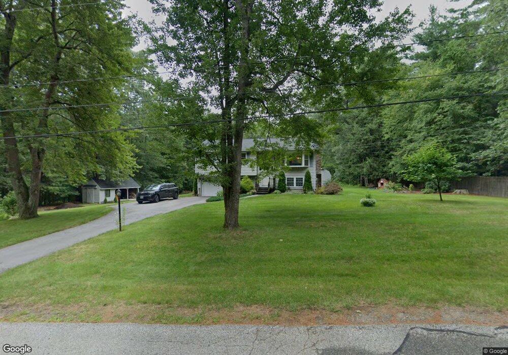
26 Jana Ln Stratham, NH 03885
Estimated Value: $522,000 - $621,000
3
Beds
2
Baths
1,495
Sq Ft
$391/Sq Ft
Est. Value
About This Home
This home is located at 26 Jana Ln, Stratham, NH 03885 and is currently estimated at $584,631, approximately $391 per square foot. 26 Jana Ln is a home located in Rockingham County with nearby schools including Stratham Memorial School, Cooperative Middle School, and Exeter High School.
Ownership History
Date
Name
Owned For
Owner Type
Purchase Details
Closed on
Nov 17, 1997
Sold by
Cerrone Gail D
Bought by
Hawkins Phillip R and Hawkins Melinda
Current Estimated Value
Home Financials for this Owner
Home Financials are based on the most recent Mortgage that was taken out on this home.
Original Mortgage
$105,000
Interest Rate
7.23%
Create a Home Valuation Report for This Property
The Home Valuation Report is an in-depth analysis detailing your home's value as well as a comparison with similar homes in the area
Home Values in the Area
Average Home Value in this Area
Purchase History
| Date | Buyer | Sale Price | Title Company |
|---|---|---|---|
| Hawkins Phillip R | $145,000 | -- |
Source: Public Records
Mortgage History
| Date | Status | Borrower | Loan Amount |
|---|---|---|---|
| Open | Hawkins Phillip R | $209,600 | |
| Closed | Hawkins Phillip R | $118,000 | |
| Closed | Hawkins Phillip R | $105,000 |
Source: Public Records
Tax History Compared to Growth
Tax History
| Year | Tax Paid | Tax Assessment Tax Assessment Total Assessment is a certain percentage of the fair market value that is determined by local assessors to be the total taxable value of land and additions on the property. | Land | Improvement |
|---|---|---|---|---|
| 2024 | $7,366 | $561,400 | $340,100 | $221,300 |
| 2023 | $6,927 | $331,300 | $175,100 | $156,200 |
| 2022 | $6,199 | $331,300 | $175,100 | $156,200 |
| 2021 | $6,136 | $331,300 | $175,100 | $156,200 |
| 2020 | $23,474 | $331,300 | $175,100 | $156,200 |
| 2019 | $6,172 | $331,300 | $175,100 | $156,200 |
| 2018 | $5,667 | $280,000 | $143,100 | $136,900 |
| 2017 | $5,782 | $280,000 | $143,100 | $136,900 |
| 2016 | $5,712 | $280,000 | $143,100 | $136,900 |
| 2015 | $5,572 | $280,000 | $143,100 | $136,900 |
| 2014 | $5,575 | $280,000 | $143,100 | $136,900 |
| 2013 | $5,498 | $279,800 | $143,100 | $136,700 |
Source: Public Records
Map
Nearby Homes
- 54 Brookside Dr
- 5 Brookside Dr
- 4 Kildary Dr
- 34 Kinloch Dr
- 227 Portsmouth Ave
- 217 Portsmouth Ave
- 39 Glengarry Dr
- 85 College Rd
- 40 Stratham Green
- 141 Dearborn Rd
- 00 Scamman Rd
- 24 Great Bay Rd
- 00 Lovell Rd Unit 22
- 2 Osprey Ln
- 44 High St
- 9 Swamscott St
- 3 Swamscott St
- 23 Winding Brook Dr
- 13 Dearborn Rd
- 60 Peninsula Dr