26 La Pera Ct Unit 1 Sacramento, CA 95823
Estimated Value: $146,000 - $180,000
2
Beds
1
Bath
795
Sq Ft
$197/Sq Ft
Est. Value
About This Home
This home is located at 26 La Pera Ct Unit 1, Sacramento, CA 95823 and is currently estimated at $156,866, approximately $197 per square foot. 26 La Pera Ct Unit 1 is a home located in Sacramento County with nearby schools including Parkway Elementary School, Fern Bacon Middle School, and Luther Burbank High School.
Ownership History
Date
Name
Owned For
Owner Type
Purchase Details
Closed on
Jul 24, 2017
Sold by
Taylor Herbert and Taylor Elisher M
Bought by
Taylor Herbert and Talylor Elisher Mary
Current Estimated Value
Purchase Details
Closed on
Jun 1, 2000
Sold by
Paul Rosenberg Roger and Paul Barbara N
Bought by
Taylor Herbert
Purchase Details
Closed on
Apr 20, 1998
Sold by
Paul Rosenberg Roger and Paul Barbara N
Bought by
Patterson George and Paterson Johnnie Dennis
Purchase Details
Closed on
Jul 21, 1994
Sold by
Hud
Bought by
Rosenberg Roger Paul and Rosenberg Barbara N
Create a Home Valuation Report for This Property
The Home Valuation Report is an in-depth analysis detailing your home's value as well as a comparison with similar homes in the area
Home Values in the Area
Average Home Value in this Area
Purchase History
| Date | Buyer | Sale Price | Title Company |
|---|---|---|---|
| Taylor Herbert | -- | None Available | |
| Taylor Herbert | $7,500 | -- | |
| Patterson George | $15,000 | -- | |
| Rosenberg Roger Paul | $17,000 | Stewart Title |
Source: Public Records
Tax History Compared to Growth
Tax History
| Year | Tax Paid | Tax Assessment Tax Assessment Total Assessment is a certain percentage of the fair market value that is determined by local assessors to be the total taxable value of land and additions on the property. | Land | Improvement |
|---|---|---|---|---|
| 2025 | $337 | $11,500 | $4,596 | $6,904 |
| 2024 | $337 | $11,275 | $4,506 | $6,769 |
| 2023 | $314 | $11,055 | $4,418 | $6,637 |
| 2022 | $337 | $10,839 | $4,332 | $6,507 |
| 2021 | $310 | $10,628 | $4,248 | $6,380 |
| 2020 | $302 | $10,520 | $4,205 | $6,315 |
| 2019 | $296 | $10,315 | $4,123 | $6,192 |
| 2018 | $288 | $10,114 | $4,043 | $6,071 |
| 2017 | $1,386 | $9,916 | $3,964 | $5,952 |
| 2016 | $1,758 | $9,723 | $3,887 | $5,836 |
| 2015 | $703 | $9,578 | $3,829 | $5,749 |
| 2014 | $1,537 | $9,391 | $3,754 | $5,637 |
Source: Public Records
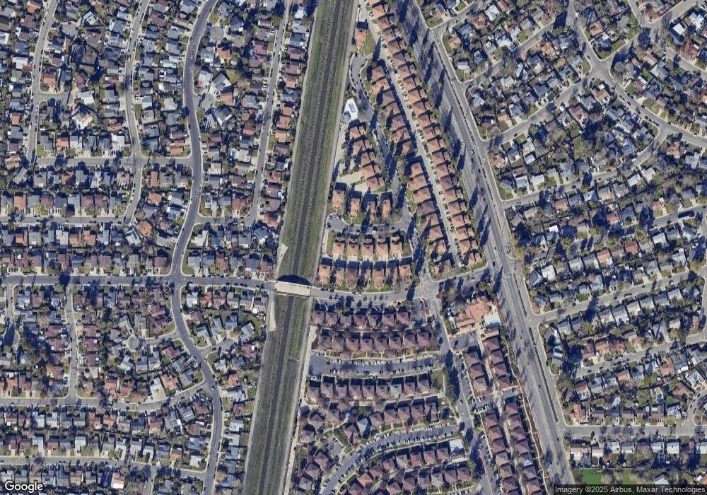
Map
Nearby Homes
- 7464 Franklin Blvd Unit 3
- 7416 Franklin Blvd Unit 4
- 65 La Fresa Ct Unit 2
- 105 La Fresa Ct Unit 4
- 4537 Goya Pkwy
- 7347 Patero Cir
- 7507 Mandy Dr
- 7339 Alcedo Cir
- 4075 Weymouth Ln
- 3985 Limestone Way
- 7570 Burgoyne Ln
- 4095 Weymouth Ln
- 4096 Weymouth Ln
- 4163 Brookfield Dr
- 7270 Meadowgate Dr
- 61 Maple Dr
- 137 Davis Ave
- 130 Davis Ave
- 196 Amberglen Dr
- 1 Bentley Ave
- 26 La Pera Ct Unit 3
- 26 La Pera Ct
- 34 La Pera Ct Unit 1
- 34 La Pera Ct Unit 2
- 34 La Pera Ct
- 34 La Pera Ct Unit 4
- 18 La Pera Ct Unit 2
- 18 La Pera Ct
- 10 La Pera Ct Unit 2
- 10 La Pera Ct
- 10 La Pera Ct Unit 1
- 10 La Pera Ct
- 10 La Pera Ct Unit 3
- 4343 Shining Star Dr Unit 1
- 4343 Shining Star Dr Unit 2
- 4343 Shining Star Dr Unit 4
- 4359 Shining Star Dr Unit 1
- 4359 Shining Star Dr
- 4359 Shining Star Dr
- 4359 Shining Star Dr