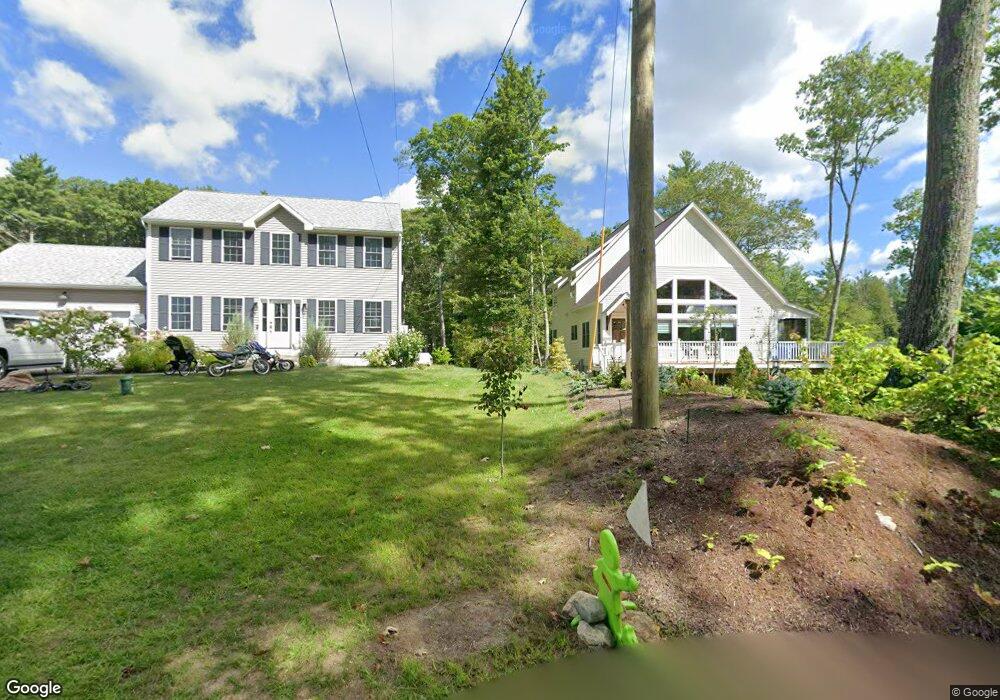
26 Lachance Dr Rindge, NH 03461
Estimated Value: $464,000 - $1,008,000
3
Beds
3
Baths
2,479
Sq Ft
$297/Sq Ft
Est. Value
About This Home
This home is located at 26 Lachance Dr, Rindge, NH 03461 and is currently estimated at $735,160, approximately $296 per square foot. 26 Lachance Dr is a home with nearby schools including Rindge Memorial School, Conant Middle High School, and Conant High School.
Ownership History
Date
Name
Owned For
Owner Type
Purchase Details
Closed on
Feb 7, 2017
Sold by
Broome Zane
Bought by
A To Z T
Current Estimated Value
Purchase Details
Closed on
Jan 28, 2005
Sold by
Lot 36A Rt
Bought by
Ztb Rt
Purchase Details
Closed on
Jun 24, 2004
Sold by
Honkala Scott R
Bought by
Broome Zane T
Home Financials for this Owner
Home Financials are based on the most recent Mortgage that was taken out on this home.
Original Mortgage
$347,500
Interest Rate
6.32%
Mortgage Type
Purchase Money Mortgage
Create a Home Valuation Report for This Property
The Home Valuation Report is an in-depth analysis detailing your home's value as well as a comparison with similar homes in the area
Home Values in the Area
Average Home Value in this Area
Purchase History
| Date | Buyer | Sale Price | Title Company |
|---|---|---|---|
| A To Z T | -- | -- | |
| Ztb Rt | $90,000 | -- | |
| Broome Zane T | $275,000 | -- |
Source: Public Records
Mortgage History
| Date | Status | Borrower | Loan Amount |
|---|---|---|---|
| Previous Owner | Broome Zane T | $347,500 |
Source: Public Records
Tax History Compared to Growth
Tax History
| Year | Tax Paid | Tax Assessment Tax Assessment Total Assessment is a certain percentage of the fair market value that is determined by local assessors to be the total taxable value of land and additions on the property. | Land | Improvement |
|---|---|---|---|---|
| 2024 | $11,286 | $445,900 | $248,600 | $197,300 |
| 2023 | $11,165 | $445,900 | $248,600 | $197,300 |
| 2022 | $9,438 | $409,800 | $248,600 | $161,200 |
| 2021 | $9,282 | $409,800 | $248,600 | $161,200 |
| 2020 | $9,200 | $409,800 | $248,600 | $161,200 |
| 2019 | $9,316 | $335,600 | $198,700 | $136,900 |
| 2018 | $9,229 | $335,600 | $198,700 | $136,900 |
| 2017 | $9,125 | $335,600 | $198,700 | $136,900 |
| 2016 | $9,367 | $335,600 | $198,700 | $136,900 |
Source: Public Records
Map
Nearby Homes
- 19 Monomonac Terrace
- 16 2nd St
- 35 Hillside Dr
- 28 Wellington Rd
- 40 Maple Dr
- 0 Monomonac Rd W
- 46 Swan Point Rd
- 0 Glenallen St
- Lot 1 Saybrook Dr
- Lot 2 Saybrook Dr
- Lot 15-0 Saybrook Dr
- Lot 14 Saybrook Dr
- 15 Colonial Ln
- 11 Colonial Ln
- 64 Old Ashburnham Rd
- 119 W Shore Dr
- 41 Peggi Ln
- 199 Tuckerman Rd
- 0 Vaine St
- 24 Vaine St
- 30 Lachance Dr
- 24 Lachance Dr
- 22 Lachance Dr
- 36 Lachance Dr
- 29 Lachance Dr
- 18 Lachance Dr
- 38 Lachance Dr
- 16 Lachance Dr
- 44 Lachance Dr
- 12 Lachance Dr
- 32 Trout Ln
- 34 Kingfisher Terrace
- 8 Lachance Dr
- 46 Lachance Dr
- 3 Monomonac Terrace
- 44 Kingfisher Terrace
- 00 La Chancedr
- 50 Lachance Dr
- 4 Lachance Dr
- 22 La Chance Cir