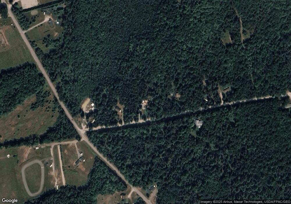
26 Magoon Rd Saint Albans, ME 04971
Estimated Value: $75,000 - $173,000
--
Bed
--
Bath
--
Sq Ft
5.02
Acres
About This Home
This home is located at 26 Magoon Rd, Saint Albans, ME 04971 and is currently estimated at $121,775. 26 Magoon Rd is a home with nearby schools including St Albans Consolidated, Somerset Elementary School, and Nokomis Regional Middle School/High School.
Ownership History
Date
Name
Owned For
Owner Type
Purchase Details
Closed on
Mar 29, 2018
Sold by
Harborview Management Llc
Bought by
Cowing Dean and Cowing Barbara
Current Estimated Value
Home Financials for this Owner
Home Financials are based on the most recent Mortgage that was taken out on this home.
Original Mortgage
$24,700
Outstanding Balance
$21,212
Interest Rate
4.38%
Mortgage Type
New Conventional
Estimated Equity
$100,563
Purchase Details
Closed on
Apr 27, 2015
Sold by
Folsom Brian K and Folsom Laurie A
Bought by
Harborview Management Llc
Purchase Details
Closed on
Feb 17, 2012
Sold by
Small Valery L
Bought by
Folsom Laurie A and Folsom Brian K
Create a Home Valuation Report for This Property
The Home Valuation Report is an in-depth analysis detailing your home's value as well as a comparison with similar homes in the area
Home Values in the Area
Average Home Value in this Area
Purchase History
| Date | Buyer | Sale Price | Title Company |
|---|---|---|---|
| Cowing Dean | -- | -- | |
| Harborview Management Llc | -- | -- | |
| Folsom Laurie A | -- | -- |
Source: Public Records
Mortgage History
| Date | Status | Borrower | Loan Amount |
|---|---|---|---|
| Open | Cowing Dean | $24,700 |
Source: Public Records
Tax History Compared to Growth
Tax History
| Year | Tax Paid | Tax Assessment Tax Assessment Total Assessment is a certain percentage of the fair market value that is determined by local assessors to be the total taxable value of land and additions on the property. | Land | Improvement |
|---|---|---|---|---|
| 2022 | $1,005 | $60,000 | $17,100 | $42,900 |
| 2021 | $898 | $53,600 | $17,100 | $36,500 |
| 2020 | $888 | $53,000 | $17,100 | $35,900 |
| 2019 | $888 | $53,000 | $17,100 | $35,900 |
| 2018 | $872 | $53,000 | $17,100 | $35,900 |
| 2017 | $867 | $53,000 | $17,100 | $35,900 |
| 2016 | $781 | $35,200 | $15,000 | $20,200 |
| 2015 | $715 | $35,200 | $15,000 | $20,200 |
| 2012 | -- | $41,600 | $21,000 | $20,600 |
Source: Public Records
Map
Nearby Homes
- 43 Stage Rd
- M6 L22C Stage Rd
- PO72,P090 Cotta Lane & Rt 43
- 30 Main St
- 19 Mason Corner Rd
- 553 Corinna Rd
- 630C Warren Hill Rd
- 630B Warren Hill Rd
- Lot #86-3 Martin Rd
- 47 Higgins Rd
- 114 Millers Corner Rd
- 230 Todds Corner Rd
- 700 Warren Hill Rd
- 40 Orchard Dr
- M11 Loon Ln
- 8 Hicks Pond Rd
- 191 Wyman Rd
- Po M7 L3-1 Wyman Rd
- PO M7 L3-1 Wyman Rd
- 33 Brown Rd
