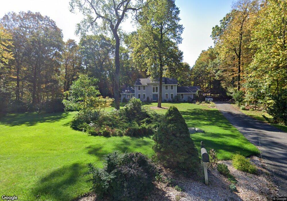
26 Maplecrest Dr Danbury, CT 06811
Estimated Value: $737,189 - $782,000
4
Beds
3
Baths
2,638
Sq Ft
$285/Sq Ft
Est. Value
About This Home
This home is located at 26 Maplecrest Dr, Danbury, CT 06811 and is currently estimated at $752,547, approximately $285 per square foot. 26 Maplecrest Dr is a home located in Fairfield County with nearby schools including Mill Ridge Primary School, Rogers Park Middle School, and Danbury High School.
Ownership History
Date
Name
Owned For
Owner Type
Purchase Details
Closed on
Mar 27, 1989
Sold by
Barrett John
Bought by
Motta Robt
Current Estimated Value
Purchase Details
Closed on
Oct 17, 1988
Sold by
Lambly Sharon
Bought by
Barrett John
Create a Home Valuation Report for This Property
The Home Valuation Report is an in-depth analysis detailing your home's value as well as a comparison with similar homes in the area
Home Values in the Area
Average Home Value in this Area
Purchase History
| Date | Buyer | Sale Price | Title Company |
|---|---|---|---|
| Motta Robt | $365,000 | -- | |
| Barrett John | $365,000 | -- |
Source: Public Records
Mortgage History
| Date | Status | Borrower | Loan Amount |
|---|---|---|---|
| Open | Barrett John | $250,000 | |
| Closed | Barrett John | $47,518 | |
| Closed | Barrett John | $128,869 |
Source: Public Records
Tax History
| Year | Tax Paid | Tax Assessment Tax Assessment Total Assessment is a certain percentage of the fair market value that is determined by local assessors to be the total taxable value of land and additions on the property. | Land | Improvement |
|---|---|---|---|---|
| 2025 | $10,949 | $438,130 | $121,240 | $316,890 |
| 2024 | $10,708 | $438,130 | $121,240 | $316,890 |
| 2023 | $10,222 | $438,130 | $121,240 | $316,890 |
| 2022 | $8,886 | $314,900 | $121,400 | $193,500 |
| 2021 | $8,691 | $314,900 | $121,400 | $193,500 |
| 2020 | $8,691 | $314,900 | $121,400 | $193,500 |
| 2019 | $11,679 | $314,900 | $121,400 | $193,500 |
| 2018 | $8,691 | $314,900 | $121,400 | $193,500 |
| 2017 | $8,650 | $298,800 | $115,600 | $183,200 |
| 2016 | $8,570 | $298,800 | $115,600 | $183,200 |
| 2015 | $8,393 | $297,000 | $115,600 | $181,400 |
| 2014 | $8,197 | $297,000 | $115,600 | $181,400 |
Source: Public Records
Map
Nearby Homes
- 34 Lindencrest Dr
- 85 Winding Ridge Way Unit 85
- 503 Center Meadow Ln Unit 503
- 184 Warrington Round Unit 184
- 403 Larson Dr
- 13 Mercy St Unit 13
- 9 Lockwood Dr
- 9 Lockwood Dr Unit Lot 48
- 7 Lockwood Dr Unit Lot 47
- 7 Lockwood Dr
- 5 Lockwood Dr Unit Lot 46
- 3 Lockwood Dr Unit 45
- 1 Lockwood Dr Unit 44
- 5 Walden Ct
- 5 Walden Ct Unit Lot 54
- 16 Walden Ct Unit Lot 11
- 18 Walden Ct
- 2 Greenlawn Dr
- 24 Walden Ct
- 1 Rivington Way Unit 201
- 28 Maplecrest Dr
- 24 Maplecrest Dr
- 29 Wintergreen Hill Rd
- 23 Maplecrest Dr
- 17 Maplecrest Dr
- 30 Maplecrest Dr
- 20 Maplecrest Dr
- 27 Wintergreen Hill Rd
- 22 Maplecrest Dr
- 15 Maplecrest Dr
- 36 Tanglewood Dr
- 19 Maplecrest Dr
- 31 Wintergreen Hill Rd
- 21 Maplecrest Dr
- 13 Maplecrest Dr
- 25 Wintergreen Hill Rd
- 38 Tanglewood Dr
- 42 Maplewood Dr
- 32 Wintergreen Hill Rd
Your Personal Tour Guide
Ask me questions while you tour the home.