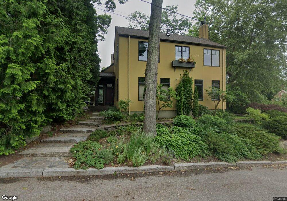
26 Margrave Ave Providence, RI 02906
Blackstone NeighborhoodEstimated Value: $1,256,000 - $2,010,000
2
Beds
3
Baths
3,297
Sq Ft
$520/Sq Ft
Est. Value
About This Home
This home is located at 26 Margrave Ave, Providence, RI 02906 and is currently estimated at $1,714,500, approximately $520 per square foot. 26 Margrave Ave is a home located in Providence County with nearby schools including Asa Messer Elementary School, Charles N. Fortes Elementary School, and Veazie Street Elementary School.
Ownership History
Date
Name
Owned For
Owner Type
Purchase Details
Closed on
Aug 11, 2000
Sold by
Diprete Thomas H
Bought by
Rosenberg Jayne C and Rosenberg Michael C
Current Estimated Value
Home Financials for this Owner
Home Financials are based on the most recent Mortgage that was taken out on this home.
Original Mortgage
$240,000
Outstanding Balance
$85,758
Interest Rate
8.21%
Estimated Equity
$1,628,742
Create a Home Valuation Report for This Property
The Home Valuation Report is an in-depth analysis detailing your home's value as well as a comparison with similar homes in the area
Home Values in the Area
Average Home Value in this Area
Purchase History
| Date | Buyer | Sale Price | Title Company |
|---|---|---|---|
| Rosenberg Jayne C | $309,000 | -- |
Source: Public Records
Mortgage History
| Date | Status | Borrower | Loan Amount |
|---|---|---|---|
| Open | Rosenberg Jayne C | $113,750 | |
| Open | Rosenberg Jayne C | $240,000 |
Source: Public Records
Tax History Compared to Growth
Tax History
| Year | Tax Paid | Tax Assessment Tax Assessment Total Assessment is a certain percentage of the fair market value that is determined by local assessors to be the total taxable value of land and additions on the property. | Land | Improvement |
|---|---|---|---|---|
| 2025 | $22,677 | $1,553,200 | $799,500 | $753,700 |
| 2024 | $21,172 | $1,153,800 | $397,700 | $756,100 |
| 2023 | $21,172 | $1,153,800 | $397,700 | $756,100 |
| 2022 | $20,538 | $1,153,800 | $397,700 | $756,100 |
| 2021 | $11,204 | $795,000 | $297,400 | $497,600 |
| 2020 | $19,525 | $795,000 | $297,400 | $497,600 |
| 2019 | $19,525 | $795,000 | $297,400 | $497,600 |
| 2018 | $22,120 | $692,100 | $255,400 | $436,700 |
| 2017 | $22,120 | $692,100 | $255,400 | $436,700 |
| 2016 | $22,120 | $692,100 | $255,400 | $436,700 |
| 2015 | $23,723 | $716,700 | $270,400 | $446,300 |
| 2014 | $24,189 | $716,700 | $270,400 | $446,300 |
| 2013 | $24,189 | $716,700 | $270,400 | $446,300 |
Source: Public Records
Map
Nearby Homes
- 234 President Ave Unit 16
- 188 Blackstone Blvd
- 189 Laurel Ave Unit 189
- 184 Irving Ave Unit 1
- 80 Clarendon Ave
- 141 Elton St
- 134 Irving Ave
- 294 Cole Ave
- 296 Cole Ave
- 22 Miles Ave Unit 1
- 22 Miles Ave
- 140 Freeman Pkwy
- 125 Taber Ave
- 242 Wayland Ave Unit 2
- 537 Angell St Unit 3
- 30 S Angell St Unit 2
- 24 University Ave Unit 2
- 19 S Angell St Unit 2
- 41 Taber Ave
- 360 Taber Ave
- 16 Margrave Ave
- 120 Grotto Ave
- 25 Margrave Ave
- 2 Loring Ave
- 15 Margrave Ave
- 10 Loring Ave
- 145 Blackstone Blvd
- 82 Grotto Ave
- 295 Laurel Ave
- 20 Penrose Ave
- 265 Laurel Ave
- 12 Penrose Ave
- 91 Grotto Ave
- 130 Grotto Ave
- 270 Laurel Ave
- 14 Loring Ave
- 81 Grotto Ave
- 129 Blackstone Blvd
- 78 Grotto Ave
- 11 Loring Ave