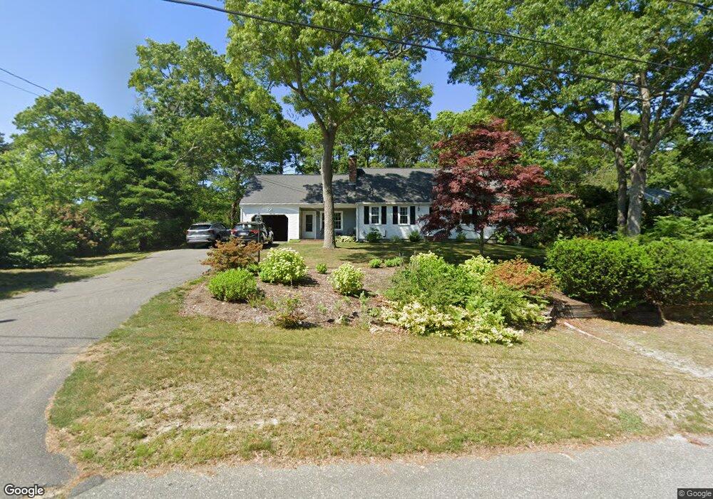
26 Masthead Ln Centerville, MA 02632
Centerville NeighborhoodEstimated Value: $680,416 - $739,000
3
Beds
2
Baths
2,092
Sq Ft
$339/Sq Ft
Est. Value
About This Home
This home is located at 26 Masthead Ln, Centerville, MA 02632 and is currently estimated at $708,854, approximately $338 per square foot. 26 Masthead Ln is a home located in Barnstable County with nearby schools including Centerville Elementary School, Barnstable United Elementary School, and Barnstable Intermediate School.
Ownership History
Date
Name
Owned For
Owner Type
Purchase Details
Closed on
May 19, 2022
Sold by
Erickson Virginia M Est and Ahearn
Bought by
Ahearn Dawn A and Faulkner Kristine
Current Estimated Value
Home Financials for this Owner
Home Financials are based on the most recent Mortgage that was taken out on this home.
Original Mortgage
$292,500
Outstanding Balance
$276,405
Interest Rate
5%
Mortgage Type
New Conventional
Estimated Equity
$432,449
Create a Home Valuation Report for This Property
The Home Valuation Report is an in-depth analysis detailing your home's value as well as a comparison with similar homes in the area
Home Values in the Area
Average Home Value in this Area
Purchase History
We collect this data history from publicly available records. To have your information removed, we recommend requesting removal directly through your county’s website.
| Date | Buyer | Sale Price | Title Company |
|---|---|---|---|
| Ahearn Dawn A | -- | None Available | |
| Faulkner Kristine M | -- | None Available | |
| Ahearn Dawn A | -- | None Available |
Source: Public Records
Mortgage History
We collect this data history from publicly available records. To have your information removed, we recommend requesting removal directly through your county’s website.
| Date | Status | Borrower | Loan Amount |
|---|---|---|---|
| Open | Ahearn Dawn A | $292,500 | |
| Closed | Faulkner Kristine M | $292,500 |
Source: Public Records
Tax History
| Year | Tax Paid | Tax Assessment Tax Assessment Total Assessment is a certain percentage of the fair market value that is determined by local assessors to be the total taxable value of land and additions on the property. | Land | Improvement |
|---|---|---|---|---|
| 2025 | $5,051 | $624,300 | $152,900 | $471,400 |
| 2024 | $4,679 | $599,100 | $152,900 | $446,200 |
| 2023 | $4,461 | $534,900 | $139,000 | $395,900 |
| 2022 | $4,198 | $435,500 | $103,000 | $332,500 |
| 2021 | $4,092 | $390,100 | $103,000 | $287,100 |
| 2020 | $4,110 | $375,000 | $103,000 | $272,000 |
| 2019 | $3,920 | $347,500 | $103,000 | $244,500 |
| 2018 | $3,575 | $318,600 | $108,400 | $210,200 |
| 2017 | $3,317 | $308,300 | $108,400 | $199,900 |
| 2016 | $3,370 | $309,200 | $109,300 | $199,900 |
| 2015 | $3,329 | $306,800 | $106,000 | $200,800 |
Source: Public Records
Map
Nearby Homes
- 146 Hillside Dr
- 253 Gleneagle Dr
- 900 Old Stage Rd
- 73 Tern Ln
- 66 Tern Ln
- 3 Thoreau Dr
- 113 Captain Jacs Rd
- 38 White Oak Trail
- 49 Great Hill Dr
- 37 Ansel Howland Rd
- 172 Skunknet Rd
- 74 Lakeview Dr
- 136 Sheaffer Rd
- 1115 Shootflying Hill Rd
- 169 Cedric Rd
- 39 Indian Trail
- 74 Saddler Ln
- 16 Morgan Way
- 988 Old Falmouth Rd
- 89 Moco Rd
- 36 Masthead Ln
- 14 Masthead Ln
- 55 Oxner Rd
- 49 Oxner Rd
- 65 Oxner Rd
- 35 Masthead Ln
- 236 Rolling Hitch Rd
- 48 Masthead Ln
- 96 Hawser Bend
- 41 Oxner Rd
- 91 Hawser Bend
- 49 Masthead Ln
- 73 Oxner Rd
- 50 Oxner Rd
- 194 Capn Lijahs Rd
- 212 Capn Lijahs Rd
- 202 Rolling Hitch Rd
- 223 Rolling Hitch Rd
- 235 Rolling Hitch Rd
- 70 Oxner Rd
Your Personal Tour Guide
Ask me questions while you tour the home.