26 Montgomery Rd Stark Nh 03582 Out of Area, NH 03582
Estimated Value: $217,000 - $267,000
1
Bed
1
Bath
949
Sq Ft
$260/Sq Ft
Est. Value
About This Home
This home is located at 26 Montgomery Rd Stark Nh 03582, Out of Area, NH 03582 and is currently estimated at $247,197, approximately $260 per square foot. 26 Montgomery Rd Stark Nh 03582 is a home located in Coos County.
Ownership History
Date
Name
Owned For
Owner Type
Purchase Details
Closed on
Mar 22, 2022
Sold by
Haley Debra L
Bought by
Barr Haley Ft
Current Estimated Value
Purchase Details
Closed on
Oct 20, 2009
Sold by
Kerr Margot
Bought by
Haley Debra L
Purchase Details
Closed on
Oct 19, 2007
Sold by
Bossie Gilman J and Bossie Celia B
Bought by
Kerr Margot
Home Financials for this Owner
Home Financials are based on the most recent Mortgage that was taken out on this home.
Original Mortgage
$69,600
Interest Rate
6.51%
Mortgage Type
Purchase Money Mortgage
Purchase Details
Closed on
Apr 12, 2001
Sold by
Stcyr Daniel L and Stcyr Janet R
Bought by
Peter H Stewart T
Create a Home Valuation Report for This Property
The Home Valuation Report is an in-depth analysis detailing your home's value as well as a comparison with similar homes in the area
Home Values in the Area
Average Home Value in this Area
Purchase History
| Date | Buyer | Sale Price | Title Company |
|---|---|---|---|
| Barr Haley Ft | -- | None Available | |
| Haley Debra L | $69,900 | -- | |
| Kerr Margot | $87,000 | -- | |
| Peter H Stewart T | $38,000 | -- |
Source: Public Records
Mortgage History
| Date | Status | Borrower | Loan Amount |
|---|---|---|---|
| Previous Owner | Peter H Stewart T | $69,600 |
Source: Public Records
Tax History Compared to Growth
Tax History
| Year | Tax Paid | Tax Assessment Tax Assessment Total Assessment is a certain percentage of the fair market value that is determined by local assessors to be the total taxable value of land and additions on the property. | Land | Improvement |
|---|---|---|---|---|
| 2024 | $2,593 | $238,800 | $137,700 | $101,100 |
| 2023 | $1,865 | $90,000 | $40,900 | $49,100 |
| 2022 | $1,461 | $89,300 | $40,900 | $48,400 |
| 2021 | $1,779 | $89,300 | $40,900 | $48,400 |
| 2020 | $1,607 | $89,300 | $40,900 | $48,400 |
| 2019 | $1,614 | $89,300 | $40,900 | $48,400 |
| 2018 | $1,767 | $98,400 | $46,400 | $52,000 |
| 2017 | $1,790 | $98,400 | $46,400 | $52,000 |
| 2016 | $1,808 | $103,800 | $46,400 | $57,400 |
| 2015 | $1,766 | $103,800 | $46,400 | $57,400 |
| 2014 | $1,720 | $98,400 | $46,400 | $52,000 |
| 2013 | $1,662 | $95,100 | $49,600 | $45,500 |
Source: Public Records
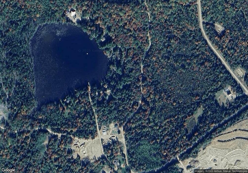
Map
Nearby Homes
- 53 Montgomery Rd
- 00 Bell Hill Rd
- 00 Mountain View Rd
- 0 Mountain View Rd
- 68 Short Rd
- 25 Sullivan Rd
- 338 Percy Rd
- 112 Normand Rd
- 388 Percy Rd
- 128 Old Route 110
- 750 Percy Rd
- 1116 W Milan Rd
- 238 Northside Rd
- 48 Spring Rd
- 1 Nay Pond Island
- 205 Overlook Rd
- 00 W Milan Rd
- 0 Mud Pond Rd Unit 5046633
- 170 Cogswell Rd Unit 288/025
- 10 Pontook Estates Rd
- 14 Montgomery Rd
- 18 Montgomery Rd Unit M405L026
- 13 Montgomery Rd Unit 5
- 11 Montgomery Rd
- 17 Montgomery Rd
- 16 Montgomery Rd
- 7 Montgomery Rd
- 23 Montgomery Rd
- 19 Montgomery Rd
- 20 Montgomery Rd
- 25 Montgomery Rd
- 5 Montgomery Rd
- 26 Montgomery Rd
- 27 Montgomery Rd
- 1 Montgomery Rd
- 29 Montgomery Rd
- 24 Pike Pond Rd
- Off Montgomery Rd
- 43 Montgomery Rd
- 43 Montgomery Rd Unit M 405 L 019