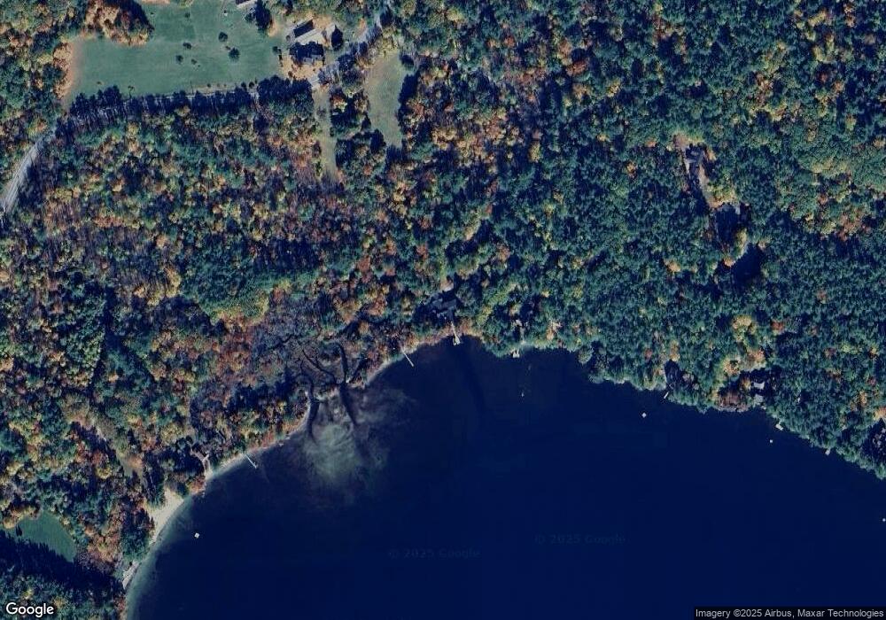
26 Mooney Point Holderness, NH 03245
Estimated Value: $3,086,000 - $5,123,668
5
Beds
5
Baths
6,731
Sq Ft
$610/Sq Ft
Est. Value
About This Home
This home is located at 26 Mooney Point, Holderness, NH 03245 and is currently estimated at $4,104,834, approximately $609 per square foot. 26 Mooney Point is a home with nearby schools including Holderness Central School and Plymouth Regional High School.
Ownership History
Date
Name
Owned For
Owner Type
Purchase Details
Closed on
Jan 14, 2016
Sold by
Miller Daniel L
Bought by
Daniel L Miller T
Current Estimated Value
Purchase Details
Closed on
Nov 9, 2005
Sold by
Vanwinkle Edward S and Vanwinkle Shirley Cox
Bought by
Miller Daniel L and Miller Betty Ann G
Create a Home Valuation Report for This Property
The Home Valuation Report is an in-depth analysis detailing your home's value as well as a comparison with similar homes in the area
Home Values in the Area
Average Home Value in this Area
Purchase History
| Date | Buyer | Sale Price | Title Company |
|---|---|---|---|
| Daniel L Miller T | -- | -- | |
| Daniel L Miller T L | -- | -- | |
| Miller Daniel L | $1,975,000 | -- | |
| Miller Daniel L | $1,975,000 | -- |
Source: Public Records
Mortgage History
| Date | Status | Borrower | Loan Amount |
|---|---|---|---|
| Previous Owner | Miller Daniel L | $787,500 |
Source: Public Records
Tax History Compared to Growth
Tax History
| Year | Tax Paid | Tax Assessment Tax Assessment Total Assessment is a certain percentage of the fair market value that is determined by local assessors to be the total taxable value of land and additions on the property. | Land | Improvement |
|---|---|---|---|---|
| 2024 | $48,199 | $5,572,100 | $3,433,700 | $2,138,400 |
| 2023 | $47,864 | $5,572,100 | $3,433,700 | $2,138,400 |
| 2022 | $39,837 | $3,550,500 | $1,972,400 | $1,578,100 |
| 2021 | $40,156 | $3,550,500 | $1,972,400 | $1,578,100 |
| 2020 | $41,213 | $3,034,800 | $1,895,600 | $1,139,200 |
| 2019 | $39,968 | $3,034,800 | $1,895,600 | $1,139,200 |
| 2018 | $39,058 | $3,034,800 | $1,895,600 | $1,139,200 |
| 2017 | $38,630 | $2,724,280 | $1,616,380 | $1,107,900 |
| 2016 | $38,630 | $2,724,280 | $1,616,380 | $1,107,900 |
| 2015 | $38,630 | $2,724,280 | $1,616,380 | $1,107,900 |
| 2014 | $38,456 | $2,674,290 | $1,539,490 | $1,134,800 |
| 2011 | $35,105 | $2,667,530 | $1,473,130 | $1,194,400 |
Source: Public Records
Map
Nearby Homes
- 28 Potato Island
- 388 Perch Pond Rd
- 73 Maple Ridge Rd
- 206 High Country Way Unit (aka Unit 100)
- 265 High Country Way
- 46 Laurel Island Ln
- 30 Westwind Shores Rd Unit 30
- 7 Hollows Rd
- 14 Overlook Rd
- 224 Beede Rd
- 11 Sebec Rd
- 88 Perch Pond Rd
- 53 Bay Dr
- 283 River St
- 25 Elliot Rd
- 12 Peaked Hill Rd
- 00 Hicks Hill Rd
- 4 Hilltop Dr
- 373 New Hampshire Route 175
- 775 Winona Rd
- 15 Castalia Rd
- 13 Castalia Rd
- 8 Dailey Rd
- 44 Dirt Rd
- 475 Nh Route 113
- 65 Mooney Point
- 9 Dailey Rd
- 13 Livermore Lane Unit# 5
- 80 Mooney Point Rd
- 406 New Hampshire 113
- 13 Annabelle Way
- 61 Finisterre Point Rd
- 405 Nh Route 113
- 32 Greg Point Rd
- 106 Paugus Rd
- 65 Finisterre Point Rd
- 0 Finisterre Point Rd
- 71 Finisterre Point Rd
- 73 Finisterre Rd
- 11 Porter Rd