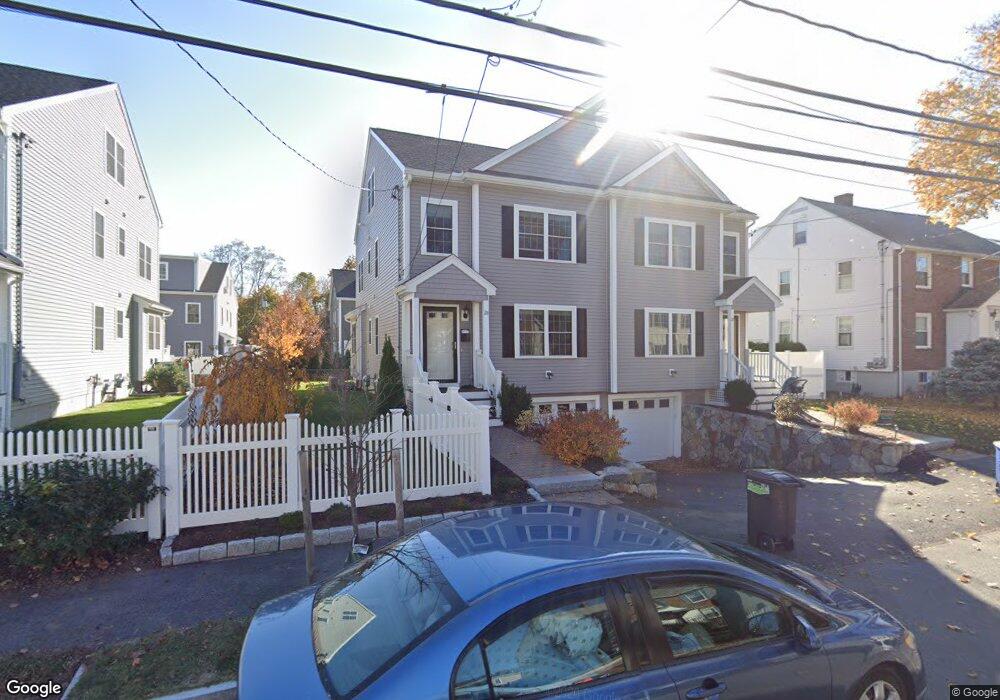
26 Mott St Unit 26A Arlington, MA 02474
East Arlington NeighborhoodEstimated Value: $1,288,000 - $1,911,000
3
Beds
2
Baths
2,747
Sq Ft
$556/Sq Ft
Est. Value
About This Home
This home is located at 26 Mott St Unit 26A, Arlington, MA 02474 and is currently estimated at $1,527,260, approximately $555 per square foot. 26 Mott St Unit 26A is a home located in Middlesex County with nearby schools including Hardy Elementary School, Ottoson Middle School, and Arlington High School.
Ownership History
Date
Name
Owned For
Owner Type
Purchase Details
Closed on
Jul 2, 2021
Sold by
Baraty Saaid
Bought by
Baraty Saaid and Rezvani Sara
Current Estimated Value
Home Financials for this Owner
Home Financials are based on the most recent Mortgage that was taken out on this home.
Original Mortgage
$548,250
Outstanding Balance
$413,615
Interest Rate
2.2%
Mortgage Type
Stand Alone Refi Refinance Of Original Loan
Estimated Equity
$1,113,645
Create a Home Valuation Report for This Property
The Home Valuation Report is an in-depth analysis detailing your home's value as well as a comparison with similar homes in the area
Home Values in the Area
Average Home Value in this Area
Purchase History
| Date | Buyer | Sale Price | Title Company |
|---|---|---|---|
| Baraty Saaid | -- | None Available | |
| Baraty Saaid | -- | None Available |
Source: Public Records
Mortgage History
| Date | Status | Borrower | Loan Amount |
|---|---|---|---|
| Open | Baraty Saaid | $548,250 |
Source: Public Records
Tax History Compared to Growth
Tax History
| Year | Tax Paid | Tax Assessment Tax Assessment Total Assessment is a certain percentage of the fair market value that is determined by local assessors to be the total taxable value of land and additions on the property. | Land | Improvement |
|---|---|---|---|---|
| 2025 | $11,967 | $1,111,100 | $0 | $1,111,100 |
| 2024 | $11,761 | $1,110,600 | $0 | $1,110,600 |
| 2023 | $10,928 | $974,800 | $0 | $974,800 |
| 2022 | $10,743 | $940,700 | $0 | $940,700 |
| 2021 | $10,474 | $923,600 | $0 | $923,600 |
| 2020 | $10,027 | $906,600 | $0 | $906,600 |
| 2019 | $9,904 | $879,600 | $0 | $879,600 |
| 2018 | $9,669 | $797,100 | $0 | $797,100 |
Source: Public Records
Map
Nearby Homes
- 31 Mott St Unit 31A
- 22 Hamilton Rd Unit 206
- 137-139 Thorndike St Unit 2
- 128 Thorndike St Unit 2
- 230 Massachusetts Ave Unit 6
- 18 Belknap St Unit 2
- 18 Belknap St Unit 1
- 215 Massachusetts Ave Unit 19 (34)
- 25-27 Adams St
- 35 Windsor St Unit 1
- 63 Loomis St Unit 63
- 3 Seagrave Rd
- 23 Loomis St Unit 23
- 55 S Normandy Ave
- 93 Griswold St Unit 93
- 95 Griswold St Unit 95
- 42-44 Warren St Unit 42
- 73 Trowbridge St Unit 73A
- 73 Trowbridge St Unit 73B
- 41 Palmer St Unit 43
- 32 Mott St Unit 32
- 24 Mott St
- 24 Mott St Unit 24
- 24 Mott St
- 30 Mott St Unit 30A
- 71 Dorothy Rd
- 69 Dorothy Rd
- 22 Mott St Unit 22A
- 73 Dorothy Rd
- 75 Dorothy Rd
- 75 Dorothy Rd Unit 75
- 27 Mott St Unit 27A
- 18 Mott St Unit 18A
- 16 Mott St Unit 16
- 18 Mott St Unit 1
- 16 Mott St
- 67 Dorothy Rd
- 25 Mott St Unit 2
- 34 Mott St Unit 34A
- 21 Mott St Unit 21