26 N Highway 395 N Orient, WA 99160
Estimated Value: $337,246 - $434,000
--
Bed
--
Bath
1,330
Sq Ft
$290/Sq Ft
Est. Value
About This Home
This home is located at 26 N Highway 395 N, Orient, WA 99160 and is currently estimated at $385,623, approximately $289 per square foot. 26 N Highway 395 N is a home with nearby schools including Columbia Virtual Academy-Orient and Orient Elementary School.
Ownership History
Date
Name
Owned For
Owner Type
Purchase Details
Closed on
Aug 27, 2014
Sold by
Blackston Erin A
Bought by
Wright Quinton
Current Estimated Value
Purchase Details
Closed on
Feb 11, 1998
Sold by
Blackston Dan L
Bought by
Blackston Dan L and Blackston Erin A
Purchase Details
Closed on
Sep 16, 1996
Sold by
Blackston Erin A
Bought by
Blackston Dan L
Purchase Details
Closed on
Mar 28, 1995
Sold by
King and King Young
Bought by
Blackston Dan L
Purchase Details
Closed on
Sep 18, 1991
Sold by
King Wetzel D
Bought by
Honeycutt Harold and Honeycutt Myrtle
Purchase Details
Closed on
Oct 1, 1990
Sold by
King and King Young
Bought by
Blackston Dan L
Purchase Details
Closed on
Jul 11, 1985
Sold by
King Wetzel D
Bought by
King and King Young
Purchase Details
Closed on
Aug 14, 1984
Sold by
Henderson Charles E and Henderson Geneva
Bought by
King Wetzel D
Create a Home Valuation Report for This Property
The Home Valuation Report is an in-depth analysis detailing your home's value as well as a comparison with similar homes in the area
Home Values in the Area
Average Home Value in this Area
Purchase History
| Date | Buyer | Sale Price | Title Company |
|---|---|---|---|
| Wright Quinton | $150,000 | -- | |
| Blackston Erin A | -- | -- | |
| Blackston Dan L | -- | -- | |
| Blackston Dan L | -- | -- | |
| Blackston Dan L | -- | -- | |
| Honeycutt Harold | -- | -- | |
| Blackston Dan L | $40,000 | -- | |
| King | -- | -- | |
| King Wetzel D | $7,500 | -- |
Source: Public Records
Tax History Compared to Growth
Tax History
| Year | Tax Paid | Tax Assessment Tax Assessment Total Assessment is a certain percentage of the fair market value that is determined by local assessors to be the total taxable value of land and additions on the property. | Land | Improvement |
|---|---|---|---|---|
| 2025 | $2,157 | $271,100 | $29,500 | $241,600 |
| 2024 | $1,757 | $248,000 | $32,600 | $215,400 |
| 2023 | $1,686 | $227,700 | $26,400 | $201,300 |
| 2022 | $1,705 | $211,700 | $36,000 | $175,700 |
| 2021 | $1,850 | $211,700 | $36,000 | $175,700 |
| 2020 | $1,863 | $196,000 | $36,000 | $160,000 |
| 2019 | $1,645 | $193,100 | $34,000 | $159,100 |
| 2018 | $1,672 | $183,500 | $32,300 | $151,200 |
| 2017 | $1,496 | $183,500 | $32,300 | $151,200 |
| 2016 | $1,496 | $191,600 | $32,300 | $159,300 |
| 2015 | $1,519 | $191,600 | $32,300 | $159,300 |
| 2014 | -- | $192,800 | $32,300 | $160,500 |
Source: Public Records
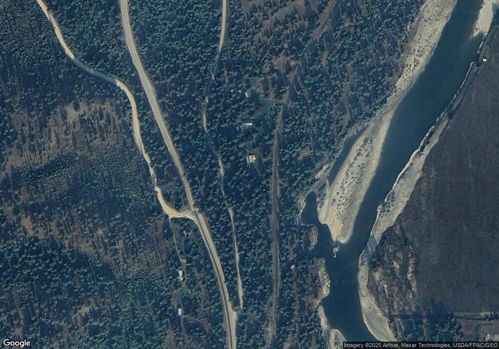
Map
Nearby Homes
- 35XX Rockcut Rd
- 3XXX Rockcut Rd
- 3500 Rockcut Rd
- 3349 Rockcut Rd
- 3347 Rockcut Rd
- 3733 Sand Creek Rd
- 3124 Orient Cutoff Rd
- 3XXX Sand Creek Rd
- 3733 XX Sand Creek Rd
- 3629 Sand Creek Rd
- 3733XX Sand Cree Rd
- 28 First Thought Loop
- 36 First Thought Loop
- 2801 McNitt Rd
- 3115 Beardslee Rd
- 240 Acres McNitt Rd
- 2339 Kettle River Rd
- XXXX Hill Loop Rd
- 3715 Hill Loop Rd
- 37XX Hill Loop Rd
- 3 Eslick Rd
- 45 Melby Ln
- 26 Humes Rd
- 0 Tbd A Rock Cut
- 0 Tbd Rock Cut Unit 39712
- 3455 Rockcut Rd
- 3349K Rockcut Rd
- 3431 Rockcut Rd
- 63 Eslick Rd
- 3435 Rockcut Rd
- 33XX Rock Cut Rd
- NKA Rockcut Rd
- TBD Rockcut
- TBD Rockcut Rd
- 33XX Rockcut Rd
- 0 Rockcut Rd
- XX Rockcut Rd
- 00 Rockcut Rd
- 3434 B Rockcut Rd
- UNDTR Rockcut Rd