26 Nichols Rd East Boothbay, ME 04544
Estimated Value: $660,490 - $988,000
3
Beds
3
Baths
2,200
Sq Ft
$387/Sq Ft
Est. Value
About This Home
This home is located at 26 Nichols Rd, East Boothbay, ME 04544 and is currently estimated at $850,623, approximately $386 per square foot. 26 Nichols Rd is a home located in Lincoln County with nearby schools including Boothbay Region Elementary School and Boothbay Region High School.
Ownership History
Date
Name
Owned For
Owner Type
Purchase Details
Closed on
Jun 27, 2011
Sold by
Walters David F and Walters Elizabeth J
Bought by
Goodwin 3Rd David W
Current Estimated Value
Home Financials for this Owner
Home Financials are based on the most recent Mortgage that was taken out on this home.
Original Mortgage
$306,000
Outstanding Balance
$211,707
Interest Rate
4.63%
Mortgage Type
Purchase Money Mortgage
Estimated Equity
$638,916
Create a Home Valuation Report for This Property
The Home Valuation Report is an in-depth analysis detailing your home's value as well as a comparison with similar homes in the area
Home Values in the Area
Average Home Value in this Area
Purchase History
| Date | Buyer | Sale Price | Title Company |
|---|---|---|---|
| Goodwin 3Rd David W | -- | -- |
Source: Public Records
Mortgage History
| Date | Status | Borrower | Loan Amount |
|---|---|---|---|
| Open | Goodwin 3Rd David W | $306,000 |
Source: Public Records
Tax History Compared to Growth
Tax History
| Year | Tax Paid | Tax Assessment Tax Assessment Total Assessment is a certain percentage of the fair market value that is determined by local assessors to be the total taxable value of land and additions on the property. | Land | Improvement |
|---|---|---|---|---|
| 2024 | $4,744 | $417,953 | $102,234 | $315,719 |
| 2023 | $4,200 | $417,953 | $102,234 | $315,719 |
| 2022 | $3,887 | $417,953 | $102,234 | $315,719 |
| 2021 | $3,134 | $328,169 | $102,234 | $225,935 |
| 2020 | $3,150 | $328,169 | $102,234 | $225,935 |
| 2019 | $3,101 | $328,169 | $102,234 | $225,935 |
| 2018 | $3,052 | $328,169 | $102,234 | $225,935 |
| 2017 | $2,824 | $307,000 | $58,100 | $248,900 |
| 2016 | $2,702 | $307,000 | $58,100 | $248,900 |
| 2015 | $2,686 | $307,000 | $58,100 | $248,900 |
| 2014 | $2,610 | $307,000 | $58,100 | $248,900 |
Source: Public Records
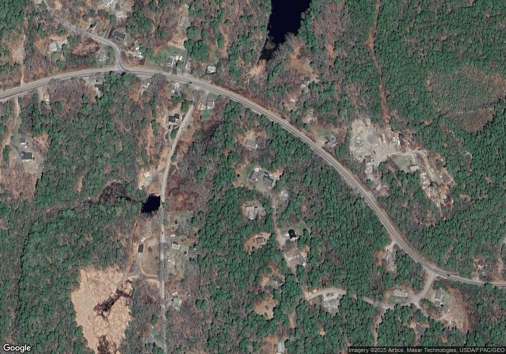
Map
Nearby Homes
- 5 Massachusetts Ave
- 98 Meadow Cove Rd
- 23 Meadow Cove Rd
- 127 Appalachee Rd
- 210 Ocean Point Rd
- 239 Ocean Point Rd
- 35 Rice Rd
- 25 Pineview Ridge Rd
- 74 & 76 Bay St
- 12 Westwind Dr
- 28 & 31 Will Alley Rd
- 31 Bay St
- 302 Townsend Ave
- 66 Townsend Ave
- 43 Oak St
- 66 Townsend Avenue & 43 Oak St
- 37 Townsend Ave
- 34 Townsend Ave
- 27 Townsend Ave
- 86 Firth Dr
- Lot 2 & 2A Nicohols Rd
- 0 Ocean Point Rd Unit 278396
- 0 Ocean Point Rd Unit 276749
- 0 Ocean Point Rd Unit 271524
- 0 Ocean Point Rd Unit 264903
- 0 Ocean Point Rd Unit 246055
- 0 Ocean Point Rd Unit 243359
- 0 Ocean Point Rd Unit 463759
- 0 Ocean Point Rd Unit 300737
- 0 Ocean Point Rd Unit 279101
- 0 Ocean Point Rd Unit 264788
- 0 Ocean Point Rd Unit 257719
- 0 Ocean Point Rd Unit 241630
- 0 Ocean Point Rd Unit 225795
- 0 Ocean Point Rd Unit 206494
- 0 Ocean Point Rd Unit 194432
- 0 Ocean Point Rd Unit 270199
- 0 Ocean Point Rd Unit 236295
- 0 Ocean Point Rd Unit 245219
- 0 Ocean Point Rd Unit 888971