26 Oak Island Rd Meredith, NH 03253
Estimated Value: $3,312,000 - $4,280,000
3
Beds
4
Baths
2,481
Sq Ft
$1,554/Sq Ft
Est. Value
About This Home
This home is located at 26 Oak Island Rd, Meredith, NH 03253 and is currently estimated at $3,855,271, approximately $1,553 per square foot. 26 Oak Island Rd is a home located in Belknap County with nearby schools including Inter-Lakes Elementary School and Inter-Lakes Middle High School.
Ownership History
Date
Name
Owned For
Owner Type
Purchase Details
Closed on
Jan 17, 2017
Sold by
Lagarto Brian J and Lagarto Melissa M
Bought by
Lagarto Ret
Current Estimated Value
Purchase Details
Closed on
Jul 18, 2012
Sold by
Hughes Lawrence and Hughes Dianne C
Bought by
Lagarto Brian J and Lagarto Melissa M
Create a Home Valuation Report for This Property
The Home Valuation Report is an in-depth analysis detailing your home's value as well as a comparison with similar homes in the area
Home Values in the Area
Average Home Value in this Area
Purchase History
| Date | Buyer | Sale Price | Title Company |
|---|---|---|---|
| Lagarto Ret | -- | -- | |
| Lagarto Ret | -- | -- | |
| Lagarto Brian J | $840,000 | -- | |
| Lagarto Brian J | $840,000 | -- |
Source: Public Records
Mortgage History
| Date | Status | Borrower | Loan Amount |
|---|---|---|---|
| Closed | Lagarto Brian J | $0 |
Source: Public Records
Tax History Compared to Growth
Tax History
| Year | Tax Paid | Tax Assessment Tax Assessment Total Assessment is a certain percentage of the fair market value that is determined by local assessors to be the total taxable value of land and additions on the property. | Land | Improvement |
|---|---|---|---|---|
| 2024 | $32,490 | $3,166,700 | $1,648,500 | $1,518,200 |
| 2023 | $31,319 | $3,166,700 | $1,648,500 | $1,518,200 |
| 2022 | $27,350 | $1,957,800 | $799,200 | $1,158,600 |
| 2021 | $26,293 | $1,957,800 | $799,200 | $1,158,600 |
| 2020 | $27,259 | $1,944,300 | $799,200 | $1,145,100 |
| 2019 | $26,478 | $1,666,300 | $645,300 | $1,021,000 |
| 2018 | $13,760 | $880,900 | $645,300 | $235,600 |
| 2016 | $12,564 | $805,900 | $578,700 | $227,200 |
| 2015 | $12,250 | $805,900 | $578,700 | $227,200 |
| 2014 | $11,926 | $804,200 | $578,700 | $225,500 |
| 2013 | $11,589 | $804,200 | $578,700 | $225,500 |
Source: Public Records
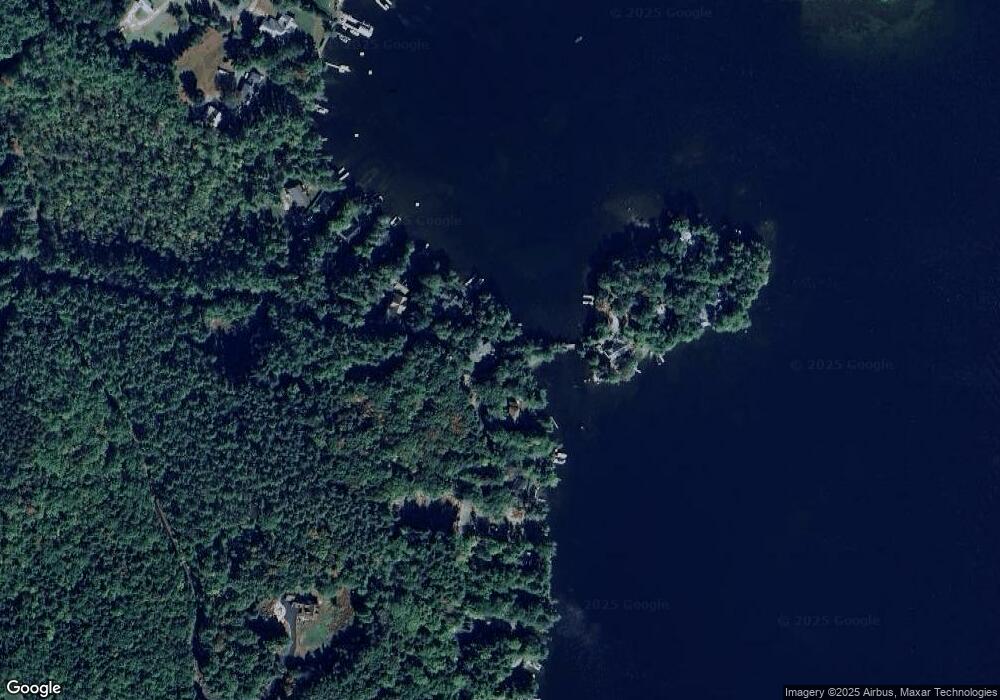
Map
Nearby Homes
- Lot 21 Cummings Cove Rd
- Lot 22 Cummings Cove Rd
- 11 Quimby Rd
- 765 Scenic Rd
- 43 Happy Homes Rd
- 39 Lake Country Rd
- 37
- 45 Stern Castle Place Unit 32
- 38 Stern Castle Place Unit 30
- 598 Scenic Rd Unit 2
- 598 Scenic Rd Unit 1
- 106 Needle Eye Rd
- 00 Nh Rte 132 Route
- 75 Neal Shore Rd
- 97 Soleil Mountain Unit 82
- 94 Soleil Mountain Unit 8
- 6 Windjammer's Ridge
- Lot 12-3 Needle Eye Rd
- Lot 12-5 Needle Eye Rd
- 23 Deadreckoning Point
- 24 Oak Island Rd
- 4 Observatory Rd
- 8 Observatory Rd
- 22 Oak Island Rd
- 33 Oak Island Rd
- 18 Oak Island Rd
- 10 Observatory Rd
- 37 Oak Island Rd
- 12 Observatory Rd
- 12 Observatory Rd Unit Lot 28 + Lot 29
- 12 Observatory Rd Unit Lot 28 + Lot 29 (11
- 16 Oak Island Rd
- 14 Observatory Rd
- 39 Oak Island Rd
- 14 Oak Island Rd Unit 14
- 14 Oak Island Rd
- 16 Observatory Rd
- 12 Oak Island Rd
- 18 Observatory Rd
- 30 Eagle Mountain Rd