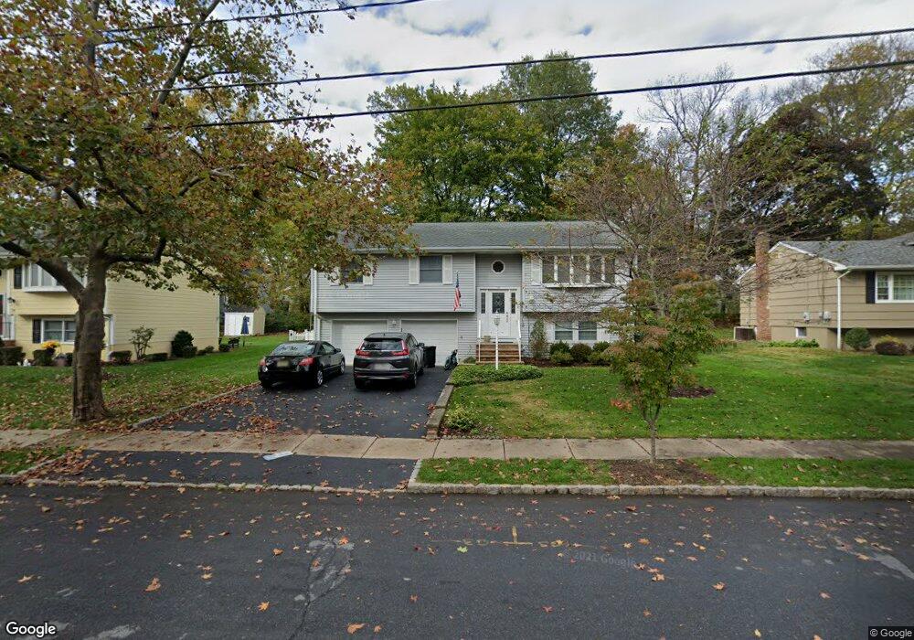
26 Parrott Mill Rd Chatham, NJ 07928
Estimated Value: $1,180,319 - $1,601,000
--
Bed
--
Bath
1,951
Sq Ft
$683/Sq Ft
Est. Value
About This Home
This home is located at 26 Parrott Mill Rd, Chatham, NJ 07928 and is currently estimated at $1,331,580, approximately $682 per square foot. 26 Parrott Mill Rd is a home located in Morris County with nearby schools including Chatham High School, St. Patrick School, and ECLC of New Jersey.
Ownership History
Date
Name
Owned For
Owner Type
Purchase Details
Closed on
Jul 26, 1996
Sold by
Gottzandt Robert and Gottzandt Elizabeth A
Bought by
Derocco Edward S and Derocco Carolyn A
Current Estimated Value
Home Financials for this Owner
Home Financials are based on the most recent Mortgage that was taken out on this home.
Original Mortgage
$100,000
Interest Rate
8.24%
Mortgage Type
Balloon
Create a Home Valuation Report for This Property
The Home Valuation Report is an in-depth analysis detailing your home's value as well as a comparison with similar homes in the area
Home Values in the Area
Average Home Value in this Area
Purchase History
| Date | Buyer | Sale Price | Title Company |
|---|---|---|---|
| Derocco Edward S | $288,000 | -- |
Source: Public Records
Mortgage History
| Date | Status | Borrower | Loan Amount |
|---|---|---|---|
| Closed | Derocco Edward S | $100,000 |
Source: Public Records
Tax History Compared to Growth
Tax History
| Year | Tax Paid | Tax Assessment Tax Assessment Total Assessment is a certain percentage of the fair market value that is determined by local assessors to be the total taxable value of land and additions on the property. | Land | Improvement |
|---|---|---|---|---|
| 2025 | $13,391 | $827,100 | $515,200 | $311,900 |
| 2024 | $12,853 | $827,100 | $515,200 | $311,900 |
| 2023 | $12,853 | $827,100 | $515,200 | $311,900 |
| 2022 | $11,687 | $558,600 | $393,000 | $165,600 |
| 2021 | $11,687 | $558,600 | $393,000 | $165,600 |
| 2020 | $11,837 | $558,600 | $393,000 | $165,600 |
| 2019 | $11,753 | $558,600 | $393,000 | $165,600 |
| 2018 | $11,423 | $558,600 | $393,000 | $165,600 |
| 2017 | $11,094 | $558,600 | $393,000 | $165,600 |
| 2016 | $10,803 | $558,600 | $393,000 | $165,600 |
| 2015 | $10,425 | $558,600 | $393,000 | $165,600 |
| 2014 | $10,347 | $558,600 | $393,000 | $165,600 |
Source: Public Records
Map
Nearby Homes
- 57 Parrott Mill Rd
- 25 Roosevelt Ave
- 30 Hillside Ave
- 47 Red Rd
- 2 Rose Ln
- 24 Bridge St
- 102 Center Ave
- 37 Plain St
- 111 N Summit Ave
- 37 Wade Dr
- 17 Coleman Ave W
- 128 Fairmount Ave
- 151 Center Ave
- 1 John St
- 380 Main St Unit 5
- 149 N Hillside Ave
- 14 Schindler Ct Unit F27
- 16 Lowell Ave
- 55 River Rd
- 5 Woodland Rd
- 30 Parrott Mill Rd
- 24 Parrott Mill Rd
- 32 Parrott Mill Rd
- 25 Tallmadge Ave
- 20 Parrott Mill Rd
- 27 Tallmadge Ave
- 23 Tallmadge Ave
- 25 Parrott Mill Rd
- 29 Tallmadge Ave
- 27 Parrott Mill Rd
- 21 Tallmadge Ave
- 29 Parrott Mill Rd
- 31 Tallmadge Ave
- 19 Tallmadge Ave
- 18 Parrott Mill Rd
- 36 Parrott Mill Rd
- 12 Parrott Mill Rd
- 33 Tallmadge Ave
- 33 Parrott Mill Rd
- 17 Tallmadge Ave