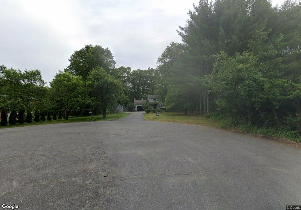
26 Pheasant Run MerriMacK, NH 03054
Estimated Value: $569,000 - $628,000
3
Beds
4
Baths
2,259
Sq Ft
$265/Sq Ft
Est. Value
About This Home
This home is located at 26 Pheasant Run, MerriMacK, NH 03054 and is currently estimated at $598,015, approximately $264 per square foot. 26 Pheasant Run is a home located in Hillsborough County with nearby schools including Reeds Ferry School, James Mastricola Upper Elementary School, and Merrimack Middle School.
Ownership History
Date
Name
Owned For
Owner Type
Purchase Details
Closed on
May 16, 2024
Sold by
Kabel Kurt D and Kabel Julie A
Bought by
Kabel Julie A
Current Estimated Value
Home Financials for this Owner
Home Financials are based on the most recent Mortgage that was taken out on this home.
Original Mortgage
$250,000
Outstanding Balance
$246,684
Interest Rate
7.17%
Mortgage Type
New Conventional
Estimated Equity
$351,331
Purchase Details
Closed on
Feb 28, 2003
Sold by
Kolb John B and Kolb Aimee N
Bought by
Kabel Kurt D and Kabel Julie A
Home Financials for this Owner
Home Financials are based on the most recent Mortgage that was taken out on this home.
Original Mortgage
$261,150
Interest Rate
5.98%
Create a Home Valuation Report for This Property
The Home Valuation Report is an in-depth analysis detailing your home's value as well as a comparison with similar homes in the area
Home Values in the Area
Average Home Value in this Area
Purchase History
| Date | Buyer | Sale Price | Title Company |
|---|---|---|---|
| Kabel Julie A | -- | None Available | |
| Kabel Kurt D | $274,900 | -- |
Source: Public Records
Mortgage History
| Date | Status | Borrower | Loan Amount |
|---|---|---|---|
| Open | Kabel Julie A | $250,000 | |
| Previous Owner | Kabel Kurt D | $232,430 | |
| Previous Owner | Kabel Kurt D | $47,955 | |
| Previous Owner | Kabel Kurt D | $36,000 | |
| Previous Owner | Kabel Kurt D | $261,150 |
Source: Public Records
Tax History Compared to Growth
Tax History
| Year | Tax Paid | Tax Assessment Tax Assessment Total Assessment is a certain percentage of the fair market value that is determined by local assessors to be the total taxable value of land and additions on the property. | Land | Improvement |
|---|---|---|---|---|
| 2024 | $8,454 | $408,600 | $209,700 | $198,900 |
| 2023 | $7,947 | $408,600 | $209,700 | $198,900 |
| 2022 | $7,101 | $408,600 | $209,700 | $198,900 |
| 2021 | $7,016 | $408,600 | $209,700 | $198,900 |
| 2020 | $7,295 | $303,200 | $147,000 | $156,200 |
| 2019 | $7,316 | $303,200 | $147,000 | $156,200 |
| 2018 | $7,313 | $303,200 | $147,000 | $156,200 |
| 2017 | $7,034 | $301,000 | $147,000 | $154,000 |
| 2016 | $6,860 | $301,000 | $147,000 | $154,000 |
| 2015 | $6,709 | $271,400 | $136,600 | $134,800 |
| 2014 | $6,538 | $271,400 | $136,600 | $134,800 |
| 2013 | $6,489 | $271,400 | $136,600 | $134,800 |
Source: Public Records
Map
Nearby Homes
- 33 Belmont Dr
- 29 Bedford Rd
- 6 Boulder Way
- 12 Davis Rd
- 115 Back River Rd
- 21 Adams Green
- 14 Veronica Dr
- 80 Wire Rd
- 9 Mustang Dr Unit END UNIT-D
- 9 Mustang Dr Unit C
- 9 Mustang Dr Unit B
- 7 Mustang Dr Unit B
- 7 Mustang Dr Unit END UNIT-A
- 7 Mustang Dr Unit C
- 3 Mustang Dr Unit B
- 14 Bernards Rd
- 12 Bernards Rd
- 490 Charles Bancroft Hwy
- 20 Essex Green Ct
- 12 Clinton Ct