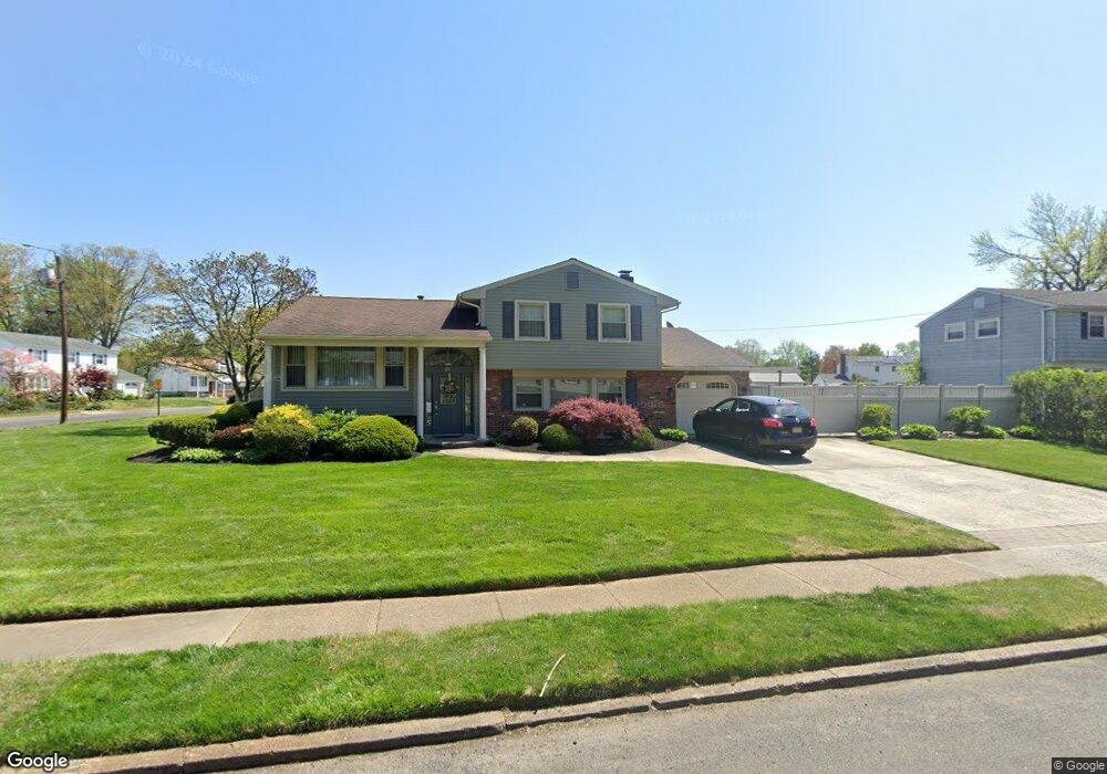
26 Purdue Dr Riverside, NJ 08075
Estimated Value: $459,000 - $486,000
Studio
--
Bath
1,946
Sq Ft
$244/Sq Ft
Est. Value
About This Home
This home is located at 26 Purdue Dr, Riverside, NJ 08075 and is currently estimated at $473,955, approximately $243 per square foot. 26 Purdue Dr is a home located in Burlington County with nearby schools including Millbridge Elementary School, Delran Intermediate School, and Delran Middle School.
Ownership History
Date
Name
Owned For
Owner Type
Purchase Details
Closed on
Nov 28, 2005
Sold by
Wolford William A and Wolford Desiree J
Bought by
Baptiste Marie A
Current Estimated Value
Home Financials for this Owner
Home Financials are based on the most recent Mortgage that was taken out on this home.
Original Mortgage
$268,000
Interest Rate
6.17%
Mortgage Type
New Conventional
Purchase Details
Closed on
Mar 12, 2001
Sold by
Forcellini Joanne and Corsanico Hector J
Bought by
Wolford William A and Wolford Desiree J
Home Financials for this Owner
Home Financials are based on the most recent Mortgage that was taken out on this home.
Original Mortgage
$132,000
Interest Rate
7.01%
Mortgage Type
Stand Alone First
Purchase Details
Closed on
Sep 2, 1994
Sold by
Forcellini Guerino and Forcellini Joanne K
Bought by
Forcellini Guerino and Forcellini Joanne
Create a Home Valuation Report for This Property
The Home Valuation Report is an in-depth analysis detailing your home's value as well as a comparison with similar homes in the area
Home Values in the Area
Average Home Value in this Area
Purchase History
| Date | Buyer | Sale Price | Title Company |
|---|---|---|---|
| Baptiste Marie A | $335,000 | None Available | |
| Wolford William A | $190,000 | Weichert Title Agency | |
| Forcellini Guerino | -- | -- |
Source: Public Records
Mortgage History
| Date | Status | Borrower | Loan Amount |
|---|---|---|---|
| Open | Baptiste Marie A | $33,500 | |
| Previous Owner | Baptiste Marie A | $268,000 | |
| Previous Owner | Wolford William A | $132,000 |
Source: Public Records
Tax History
| Year | Tax Paid | Tax Assessment Tax Assessment Total Assessment is a certain percentage of the fair market value that is determined by local assessors to be the total taxable value of land and additions on the property. | Land | Improvement |
|---|---|---|---|---|
| 2025 | $9,837 | $247,400 | $65,000 | $182,400 |
| 2024 | $9,748 | $247,400 | $65,000 | $182,400 |
| 2023 | $9,748 | $247,400 | $65,000 | $182,400 |
| 2022 | $9,621 | $247,400 | $65,000 | $182,400 |
| 2021 | $9,626 | $247,400 | $65,000 | $182,400 |
| 2020 | $9,607 | $247,400 | $65,000 | $182,400 |
| 2019 | $9,517 | $247,400 | $65,000 | $182,400 |
| 2018 | $9,359 | $247,400 | $65,000 | $182,400 |
| 2017 | $9,211 | $247,400 | $65,000 | $182,400 |
| 2016 | $9,075 | $247,400 | $65,000 | $182,400 |
| 2015 | $8,924 | $247,400 | $65,000 | $182,400 |
| 2014 | $8,535 | $247,400 | $65,000 | $182,400 |
Source: Public Records
Map
Nearby Homes
- 23 Lehigh Dr
- 213 Swedes Run Dr
- 115 Haines Mill Rd
- 123 Shelly Ln
- 1 Echo Ave
- 98 Red Stone Ridge
- 203 Congressional Ct
- 108 Patricia Ave
- 100 Diane Ave
- 4304 Bridgeboro Rd
- 0 0 Swarthmore Dr
- 101 Tarlton Ct
- 120 Coopers Kill Rd
- 124 Coopers Kill Rd
- 51 Suburban Blvd
- 4327 Bridgeboro Rd
- 139 Coopers Kill Rd
- 119 Linda Ave
- 212 Diane Ave
- 70 Suburban Blvd
Your Personal Tour Guide
Ask me questions while you tour the home.