26 Sandrah Dr Orange, MA 01364
Estimated Value: $203,000 - $313,000
2
Beds
1
Bath
864
Sq Ft
$314/Sq Ft
Est. Value
About This Home
This home is located at 26 Sandrah Dr, Orange, MA 01364 and is currently estimated at $271,238, approximately $313 per square foot. 26 Sandrah Dr is a home located in Franklin County with nearby schools including Fisher Hill and Ralph C Mahar Regional School.
Ownership History
Date
Name
Owned For
Owner Type
Purchase Details
Closed on
May 25, 2005
Sold by
Norum Katie M and Harris Daniel J
Bought by
Norum Katie M
Current Estimated Value
Purchase Details
Closed on
Apr 30, 2002
Sold by
Waterwheel Realty Inc
Bought by
Norum Katie M and Harris Daniel J
Home Financials for this Owner
Home Financials are based on the most recent Mortgage that was taken out on this home.
Original Mortgage
$107,000
Interest Rate
7.05%
Mortgage Type
Purchase Money Mortgage
Purchase Details
Closed on
Jan 24, 2002
Sold by
Banks Eric R and Usa Rural Housing Svc
Bought by
Waterwheel Realty Inc
Purchase Details
Closed on
Jul 13, 1993
Sold by
Branchi Gary S and Bianchi Karen L
Bought by
Banks Eric R and Banks Michelle L
Home Financials for this Owner
Home Financials are based on the most recent Mortgage that was taken out on this home.
Original Mortgage
$71,043
Interest Rate
7.43%
Mortgage Type
Purchase Money Mortgage
Create a Home Valuation Report for This Property
The Home Valuation Report is an in-depth analysis detailing your home's value as well as a comparison with similar homes in the area
Home Values in the Area
Average Home Value in this Area
Purchase History
| Date | Buyer | Sale Price | Title Company |
|---|---|---|---|
| Norum Katie M | -- | -- | |
| Norum Katie M | $107,000 | -- | |
| Waterwheel Realty Inc | $66,000 | -- | |
| Banks Eric R | $91,000 | -- |
Source: Public Records
Mortgage History
| Date | Status | Borrower | Loan Amount |
|---|---|---|---|
| Previous Owner | Banks Eric R | $107,000 | |
| Previous Owner | Banks Eric R | $71,043 | |
| Closed | Banks Eric R | $20,230 |
Source: Public Records
Tax History
| Year | Tax Paid | Tax Assessment Tax Assessment Total Assessment is a certain percentage of the fair market value that is determined by local assessors to be the total taxable value of land and additions on the property. | Land | Improvement |
|---|---|---|---|---|
| 2025 | $38 | $230,800 | $26,100 | $204,700 |
| 2024 | $3,561 | $204,200 | $26,100 | $178,100 |
| 2023 | $3,258 | $181,400 | $26,100 | $155,300 |
| 2022 | $3,145 | $164,500 | $26,100 | $138,400 |
| 2021 | $3,124 | $155,800 | $50,500 | $105,300 |
| 2020 | $3,135 | $154,200 | $50,100 | $104,100 |
| 2019 | $3,040 | $135,000 | $45,000 | $90,000 |
| 2018 | $2,861 | $130,400 | $44,200 | $86,200 |
| 2017 | $2,768 | $130,400 | $44,200 | $86,200 |
| 2016 | $2,773 | $127,800 | $44,200 | $83,600 |
| 2015 | $2,673 | $128,700 | $44,200 | $84,500 |
| 2014 | $2,610 | $132,200 | $44,200 | $88,000 |
Source: Public Records
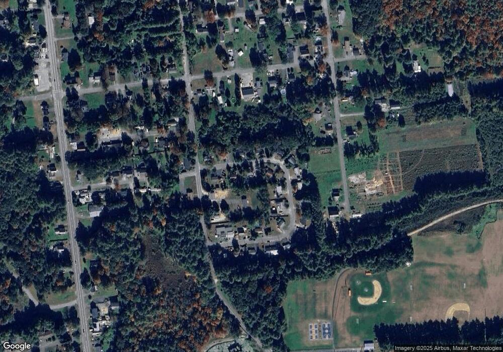
Map
Nearby Homes
- 270 S Main St
- 490 S Main St
- 00 S Main St
- 000 S Main St
- 0 Quabbin Blvd
- 313-315 Walnut Hill Rd
- 58 E Main St
- 50 E Main St
- 12-14 E Main St
- 610 S Main St
- 83 W Main St
- 23 E Howe St
- 36 Summit St Unit A
- 36 Summit St Unit B
- 222 W River St
- 35 Ball St
- 549 E Main St
- 166-168 W Main St
- 39 Terrace St
- 56 Shelter St
Your Personal Tour Guide
Ask me questions while you tour the home.