26 Shattuck Rd Calais, ME 04619
Estimated Value: $216,000 - $254,000
3
Beds
2
Baths
1,008
Sq Ft
$236/Sq Ft
Est. Value
About This Home
This home is located at 26 Shattuck Rd, Calais, ME 04619 and is currently estimated at $237,807, approximately $235 per square foot. 26 Shattuck Rd is a home with nearby schools including Calais Elementary School and Calais Middle/High School.
Create a Home Valuation Report for This Property
The Home Valuation Report is an in-depth analysis detailing your home's value as well as a comparison with similar homes in the area
Home Values in the Area
Average Home Value in this Area
Tax History Compared to Growth
Tax History
| Year | Tax Paid | Tax Assessment Tax Assessment Total Assessment is a certain percentage of the fair market value that is determined by local assessors to be the total taxable value of land and additions on the property. | Land | Improvement |
|---|---|---|---|---|
| 2024 | $2,822 | $188,100 | $15,100 | $173,000 |
| 2023 | $2,759 | $162,300 | $13,000 | $149,300 |
| 2022 | $2,491 | $131,100 | $10,500 | $120,600 |
| 2021 | $2,717 | $125,800 | $10,100 | $115,700 |
| 2020 | $2,720 | $107,500 | $8,600 | $98,900 |
| 2019 | $2,720 | $107,500 | $8,600 | $98,900 |
| 2018 | $2,720 | $107,500 | $8,600 | $98,900 |
| 2017 | $2,720 | $107,500 | $8,600 | $98,900 |
| 2016 | $2,720 | $107,500 | $8,600 | $98,900 |
| 2015 | $2,720 | $107,500 | $8,600 | $98,900 |
| 2014 | $2,720 | $107,500 | $8,600 | $98,900 |
| 2013 | $2,720 | $107,500 | $8,600 | $98,900 |
Source: Public Records
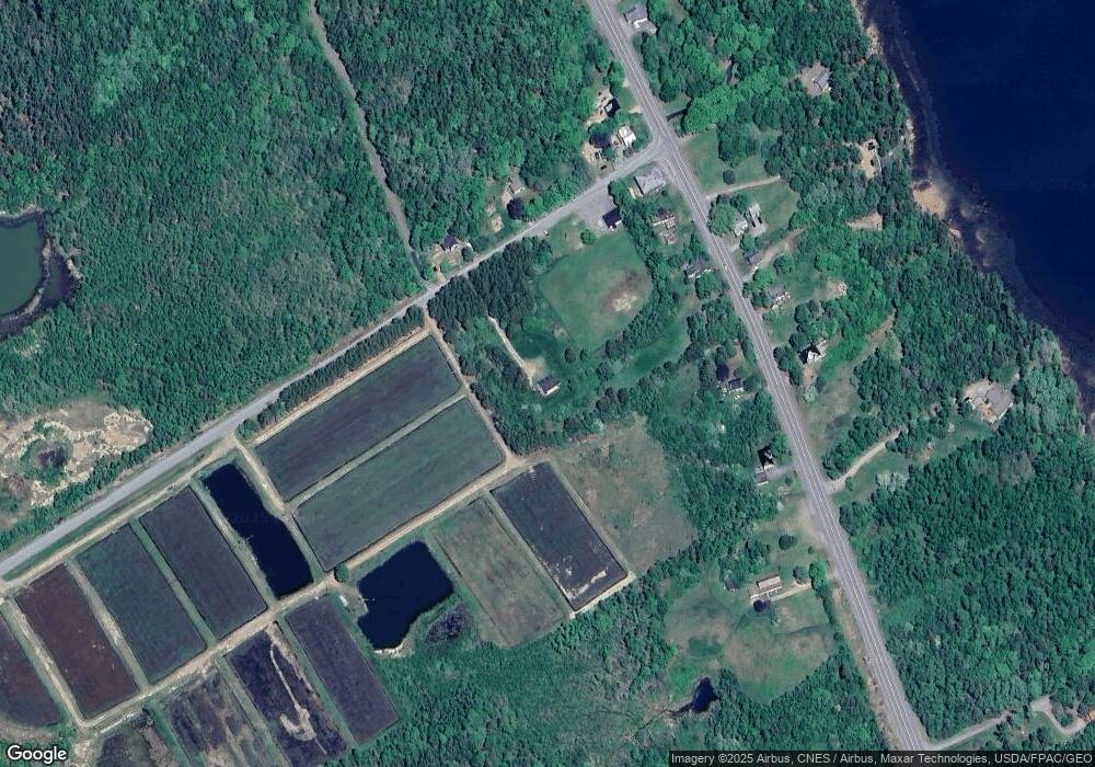
Map
Nearby Homes
- 27 U S Route 1
- 100 U S 1
- 50 Eagle Cove Ln
- 12 Dochet Ln
- 10 Dochet Ln
- 965 S River Rd
- M16L10 S River Rd
- Lot 4 Off Western Lake Rd
- 682 U S Route 1
- Deer Point W Unit B
- M2L1 Rd
- 167 Sweeney Rd
- 00 S River Rd
- 69 Hodgins Ln
- 3 Steam Mill Rd
- 68 Robbins Rd
- Lot B Deer Point W
- 24 Deer Point W
- 51 Reardon Ln
- 441 Lake Rd