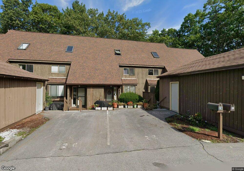
26 Silverton Dr Unit U90 Nashua, NH 03062
West Hollis NeighborhoodEstimated Value: $346,592 - $357,000
3
Beds
2
Baths
1,112
Sq Ft
$318/Sq Ft
Est. Value
About This Home
This home is located at 26 Silverton Dr Unit U90, Nashua, NH 03062 and is currently estimated at $353,148, approximately $317 per square foot. 26 Silverton Dr Unit U90 is a home located in Hillsborough County with nearby schools including Ledge Street Elementary School, Elm Street Middle School, and Nashua High School South.
Ownership History
Date
Name
Owned For
Owner Type
Purchase Details
Closed on
Feb 27, 2009
Sold by
Deutsche Bk Natl T Co
Bought by
Old Cimson Rt
Current Estimated Value
Home Financials for this Owner
Home Financials are based on the most recent Mortgage that was taken out on this home.
Original Mortgage
$135,000
Outstanding Balance
$84,879
Interest Rate
5%
Estimated Equity
$268,269
Purchase Details
Closed on
Sep 3, 2008
Sold by
Arsenian John A
Bought by
Deutsche Bank Natl T C
Create a Home Valuation Report for This Property
The Home Valuation Report is an in-depth analysis detailing your home's value as well as a comparison with similar homes in the area
Home Values in the Area
Average Home Value in this Area
Purchase History
| Date | Buyer | Sale Price | Title Company |
|---|---|---|---|
| Old Cimson Rt | $105,000 | -- | |
| Deutsche Bank Natl T C | $164,200 | -- |
Source: Public Records
Mortgage History
| Date | Status | Borrower | Loan Amount |
|---|---|---|---|
| Open | Deutsche Bank Natl T C | $135,000 |
Source: Public Records
Tax History Compared to Growth
Tax History
| Year | Tax Paid | Tax Assessment Tax Assessment Total Assessment is a certain percentage of the fair market value that is determined by local assessors to be the total taxable value of land and additions on the property. | Land | Improvement |
|---|---|---|---|---|
| 2024 | $5,935 | $373,300 | $0 | $373,300 |
| 2023 | $4,924 | $270,100 | $0 | $270,100 |
| 2022 | $4,881 | $270,100 | $0 | $270,100 |
| 2021 | $4,138 | $178,200 | $0 | $178,200 |
| 2020 | $4,029 | $178,200 | $0 | $178,200 |
| 2019 | $3,878 | $178,200 | $0 | $178,200 |
| 2018 | $3,780 | $178,200 | $0 | $178,200 |
| 2017 | $3,092 | $119,900 | $0 | $119,900 |
| 2016 | $3,006 | $119,900 | $0 | $119,900 |
| 2015 | $2,941 | $119,900 | $0 | $119,900 |
| 2014 | $2,884 | $119,900 | $0 | $119,900 |
Source: Public Records
Map
Nearby Homes
- 25 Cortez Dr Unit U57
- 16 Laurel Ct Unit U320
- 12 Spring Cove Rd Unit U103
- 375 Main Dunstable Rd
- 40 Spring Cove Rd Unit U117
- 47 Dogwood Dr Unit U202
- 4 Chesapeake Rd
- 30 Gendron St
- 599 W Hollis St
- 11 Norma Dr Unit U30
- 8 Althea Ln Unit U26
- 20 Martha St
- 46 Scenic Dr
- 4 Henry David Dr Unit 203
- 247 Main Dunstable Rd
- 39 Bartemus Trail Unit U449
- 27 Country Hill Rd Unit U90
- 5 Wilderness Dr
- 76 Bartemus Trail Unit U231
- 3 Mayfair Ln Unit U108
- 28 Silverton Dr Unit U89
- 24 Silverton Dr Unit U91
- 22 Silverton Dr Unit U92
- 20 Silverton Dr Unit U93
- 18 Silverton Dr Unit U94
- 16 Silverton Dr Unit U95
- 32 Silverton Dr Unit U87
- 34 Silverton Dr Unit U86
- 14 Silverton Dr Unit U96
- 36 Silverton Dr Unit U85
- 12 Silverton Dr Unit U97
- 38 Silverton Dr Unit U84
- 40 Silverton Dr Unit U83
- 42 Silverton Dr Unit U82
- 33 Silverton Dr Unit U77
- 35 Silverton Dr Unit U78
- 25 Silverton Dr Unit U73
- 31 Silverton Dr Unit U76
- 29 Silverton Dr Unit U75
- 23 Silverton Dr Unit U72