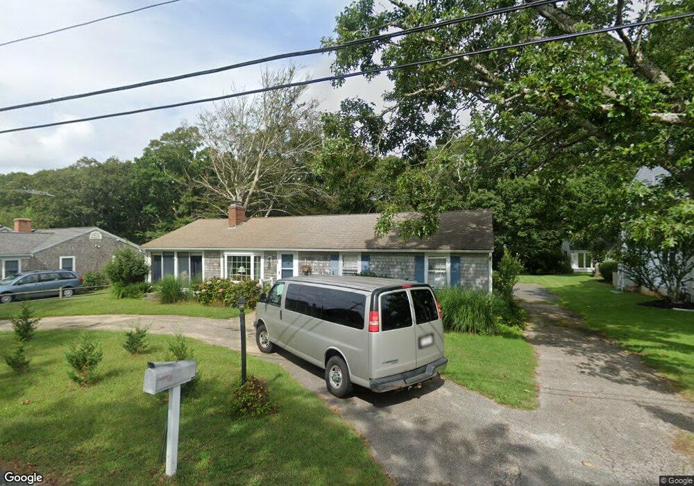
26 Spruce Dr Pocasset, MA 02559
Pocasset NeighborhoodEstimated Value: $685,000 - $1,008,000
3
Beds
2
Baths
1,144
Sq Ft
$715/Sq Ft
Est. Value
About This Home
This home is located at 26 Spruce Dr, Pocasset, MA 02559 and is currently estimated at $817,393, approximately $714 per square foot. 26 Spruce Dr is a home located in Barnstable County with nearby schools including Bourne High School, Cadence Academy Preschool - Bourne, and Heritage Christian Academy.
Ownership History
Date
Name
Owned For
Owner Type
Purchase Details
Closed on
Jun 23, 2020
Sold by
Ryan Nancy S
Bought by
Lee John J and Lee Jennifer E
Current Estimated Value
Home Financials for this Owner
Home Financials are based on the most recent Mortgage that was taken out on this home.
Original Mortgage
$360,000
Outstanding Balance
$318,407
Interest Rate
3.2%
Mortgage Type
New Conventional
Estimated Equity
$498,986
Purchase Details
Closed on
Sep 20, 1974
Bought by
Ryan Nancy S
Create a Home Valuation Report for This Property
The Home Valuation Report is an in-depth analysis detailing your home's value as well as a comparison with similar homes in the area
Home Values in the Area
Average Home Value in this Area
Purchase History
| Date | Buyer | Sale Price | Title Company |
|---|---|---|---|
| Lee John J | $450,000 | None Available | |
| Lee John J | $450,000 | None Available | |
| Lee John J | $450,000 | None Available | |
| Ryan Nancy S | -- | -- |
Source: Public Records
Mortgage History
| Date | Status | Borrower | Loan Amount |
|---|---|---|---|
| Open | Lee John J | $360,000 | |
| Closed | Lee John J | $360,000 |
Source: Public Records
Tax History Compared to Growth
Tax History
| Year | Tax Paid | Tax Assessment Tax Assessment Total Assessment is a certain percentage of the fair market value that is determined by local assessors to be the total taxable value of land and additions on the property. | Land | Improvement |
|---|---|---|---|---|
| 2025 | $5,298 | $678,300 | $418,700 | $259,600 |
| 2024 | $5,119 | $638,300 | $398,700 | $239,600 |
| 2023 | $4,983 | $565,600 | $352,900 | $212,700 |
| 2022 | $4,528 | $448,800 | $276,800 | $172,000 |
| 2021 | $4,406 | $409,100 | $251,900 | $157,200 |
| 2020 | $4,290 | $399,400 | $249,500 | $149,900 |
| 2019 | $4,115 | $391,500 | $249,500 | $142,000 |
| 2018 | $3,929 | $372,800 | $243,800 | $129,000 |
| 2017 | $3,803 | $369,200 | $241,500 | $127,700 |
| 2016 | $3,374 | $332,100 | $229,400 | $102,700 |
| 2015 | $3,162 | $314,000 | $211,300 | $102,700 |
Source: Public Records
Map
Nearby Homes
- 22 Nairn Rd
- 48 Red Brook Harbor Rd
- 3 Red Brook Pond Dr
- 171 Bellavista Dr
- 1094 County Rd
- 940 County Rd
- 254 Barlows Landing Rd
- 34 Kenwood Rd
- 45 Kenwood Rd
- 940 County Rd
- 70 Wings Neck Rd
- 709 County Rd
- 7 4th Ave
- 174 Barlows Landing Rd
- 24 Richmond Rd
- 15 1st St
- 1234 Route 28a
- 1234 Route 28a
- 14 Navajo Rd
- 89 Harbor Dr