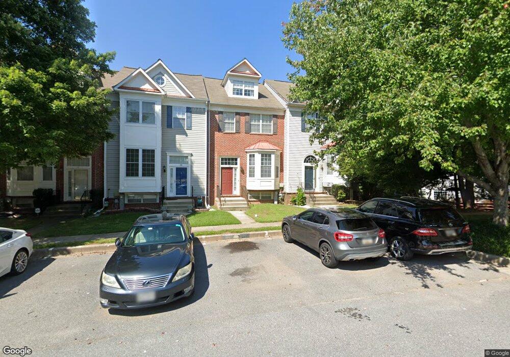
26 Stable Run Ct Randallstown, MD 21133
Estimated Value: $316,000 - $416,000
--
Bed
3
Baths
1,576
Sq Ft
$235/Sq Ft
Est. Value
About This Home
This home is located at 26 Stable Run Ct, Randallstown, MD 21133 and is currently estimated at $370,045, approximately $234 per square foot. 26 Stable Run Ct is a home located in Baltimore County with nearby schools including Woodholme Elementary School, Northwest Academy of Health Sciences, and Randallstown High School.
Ownership History
Date
Name
Owned For
Owner Type
Purchase Details
Closed on
Jan 11, 1999
Sold by
Dunleavy Keith R
Bought by
Shepard Carol G
Current Estimated Value
Purchase Details
Closed on
Jun 21, 1995
Sold by
Olney Town Center Dev Cp
Bought by
Dunleavy Keith R
Home Financials for this Owner
Home Financials are based on the most recent Mortgage that was taken out on this home.
Original Mortgage
$112,900
Interest Rate
7.82%
Create a Home Valuation Report for This Property
The Home Valuation Report is an in-depth analysis detailing your home's value as well as a comparison with similar homes in the area
Home Values in the Area
Average Home Value in this Area
Purchase History
| Date | Buyer | Sale Price | Title Company |
|---|---|---|---|
| Shepard Carol G | $142,000 | -- | |
| Dunleavy Keith R | $141,177 | -- |
Source: Public Records
Mortgage History
| Date | Status | Borrower | Loan Amount |
|---|---|---|---|
| Previous Owner | Dunleavy Keith R | $112,900 |
Source: Public Records
Tax History Compared to Growth
Tax History
| Year | Tax Paid | Tax Assessment Tax Assessment Total Assessment is a certain percentage of the fair market value that is determined by local assessors to be the total taxable value of land and additions on the property. | Land | Improvement |
|---|---|---|---|---|
| 2025 | $3,983 | $284,833 | -- | -- |
| 2024 | $3,983 | $270,300 | $63,700 | $206,600 |
| 2023 | $1,927 | $262,400 | $0 | $0 |
| 2022 | $3,669 | $254,500 | $0 | $0 |
| 2021 | $3,598 | $246,600 | $63,700 | $182,900 |
| 2020 | $3,598 | $233,900 | $0 | $0 |
| 2019 | $3,335 | $221,200 | $0 | $0 |
| 2018 | $3,136 | $208,500 | $63,700 | $144,800 |
| 2017 | $2,920 | $196,267 | $0 | $0 |
| 2016 | $3,013 | $184,033 | $0 | $0 |
| 2015 | $3,013 | $171,800 | $0 | $0 |
| 2014 | $3,013 | $171,800 | $0 | $0 |
Source: Public Records
Map
Nearby Homes
- 8806 Gilly Way Unit D
- 4105 Kiwi Ct
- 20 Windy Meadow Ct
- 8802 Falcon Ridge Dr
- 8811 Stone Ridge Cir Unit 201
- 8813 Stone Ridge Cir Unit 302
- 8813 Stone Ridge Cir Unit 203
- 8815 Stone Ridge Cir Unit 101
- 8803 Stone Ridge Cir Unit 301
- 8801 Stone Ridge Cir Unit 101
- 9104 Marlove Oaks Ln
- 4135 Brookside Oaks
- 4210 Mary Ridge Dr
- 20 Sunrise Ct
- 3907 Roxanne Rd
- 9306 Leigh Choice Ct
- 1205/99 Winands Rd
- 9313 Leigh Choice Ct
- 9311 Leigh Choice Ct
- 4108 Century Towne Rd
- 24 Stable Run Ct
- 22 Stable Run Ct
- 20 Stable Run Ct
- 28 Stable Run Ct
- 18 Stable Run Ct
- 4226 Huntshire Rd
- 4224 Huntshire Rd
- 30 Stable Run Ct
- 4222 Huntshire Rd
- 32 Stable Run Ct
- 16 Stable Run Ct
- 4220 Huntshire Rd
- 34 Stable Run Ct
- 4218 Huntshire Rd
- 36 Stable Run Ct
- 4228 Huntshire Rd
- 38 Stable Run Ct
- 4216 Huntshire Rd
- 4214 Huntshire Rd
- 4230 Huntshire Rd