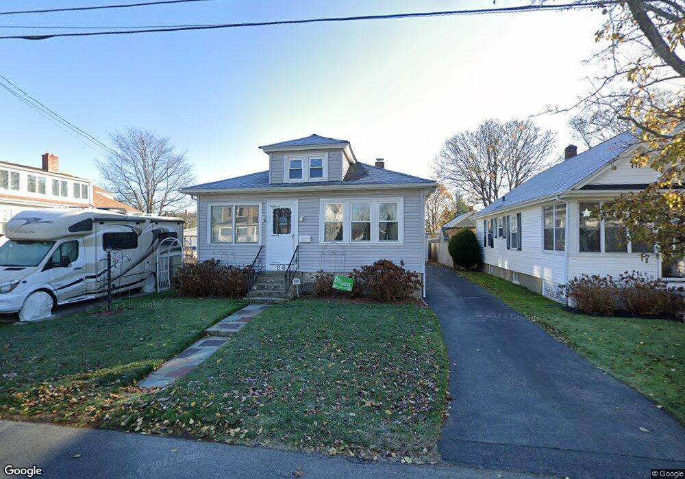
26 Sweetbriar Ave Riverside, RI 02915
Kent Heights NeighborhoodEstimated Value: $366,000 - $406,000
2
Beds
1
Bath
1,003
Sq Ft
$378/Sq Ft
Est. Value
About This Home
This home is located at 26 Sweetbriar Ave, Riverside, RI 02915 and is currently estimated at $379,166, approximately $378 per square foot. 26 Sweetbriar Ave is a home located in Providence County with nearby schools including East Providence High School, St Mary Academy-Bay View, and The Gordon School.
Ownership History
Date
Name
Owned For
Owner Type
Purchase Details
Closed on
Jul 25, 2001
Sold by
Mazzeo Monica A
Bought by
Brooks M P M and Brooks Susan
Current Estimated Value
Purchase Details
Closed on
Apr 14, 1992
Sold by
Perkins Madeline M Est
Bought by
Mazzeo Monica A
Create a Home Valuation Report for This Property
The Home Valuation Report is an in-depth analysis detailing your home's value as well as a comparison with similar homes in the area
Home Values in the Area
Average Home Value in this Area
Purchase History
| Date | Buyer | Sale Price | Title Company |
|---|---|---|---|
| Brooks M P M | $124,000 | -- | |
| Mazzeo Monica A | $92,000 | -- | |
| Brooks M P M | $124,000 | -- | |
| Mazzeo Monica A | $92,000 | -- |
Source: Public Records
Mortgage History
| Date | Status | Borrower | Loan Amount |
|---|---|---|---|
| Open | Mazzeo Monica A | $19,074 | |
| Open | Mazzeo Monica A | $148,750 |
Source: Public Records
Tax History
| Year | Tax Paid | Tax Assessment Tax Assessment Total Assessment is a certain percentage of the fair market value that is determined by local assessors to be the total taxable value of land and additions on the property. | Land | Improvement |
|---|---|---|---|---|
| 2025 | $4,192 | $320,700 | $122,700 | $198,000 |
| 2024 | $4,469 | $291,500 | $102,300 | $189,200 |
| 2023 | $4,303 | $291,500 | $102,300 | $189,200 |
| 2022 | $4,142 | $189,500 | $57,900 | $131,600 |
| 2021 | $4,074 | $189,500 | $55,300 | $134,200 |
| 2020 | $3,902 | $189,500 | $55,300 | $134,200 |
| 2019 | $3,794 | $189,500 | $55,300 | $134,200 |
| 2018 | $3,732 | $163,100 | $56,500 | $106,600 |
| 2017 | $3,649 | $163,100 | $56,500 | $106,600 |
| 2016 | $3,631 | $163,100 | $56,500 | $106,600 |
| 2015 | $3,408 | $148,500 | $49,700 | $98,800 |
| 2014 | $3,408 | $148,500 | $49,700 | $98,800 |
Source: Public Records
Map
Nearby Homes
- 53 Wampanoag Trail
- 106 Wannamoisett Rd
- 2941 Pawtucket Ave
- 210 Robinson St
- 399 Brown St
- 29 Ide Ave
- 14 Waterview Ave Unit 16
- 151 Dover Ave
- 50 Kettle Point Ave Unit 50
- 122 Rice Ave
- 74 Brookhaven Dr
- 26 Callender Ave
- 69 Hazelwood Ave
- 158 S Rose St
- 191 S Spruce St
- 75 Belmont Ave
- 1187 S Broadway
- 6 Fuller Ave
- 21 Donnelly St
- 25 Bullocks Point Ave Unit 5C
- 30 Sweetbriar Ave
- 18 Sweetbriar Ave
- 17 Elder Ave
- 34 Sweetbriar Ave
- 25 Elder Ave
- 29 Sweetbriar Ave
- 21 Sweetbriar Ave
- 29 Elder Ave
- 33 Sweetbriar Ave
- 123 Wampanoag Trail
- 40 Sweetbriar Ave
- 11 Sweetbriar Ave
- 133 Wampanoag Trail
- 37 Sweetbriar Ave
- 33 Elder Ave
- 49 Sweetbriar Ave Unit 51
- 50 Sweetbriar Ave
- 18 Elder Ave
- 22 Elder Ave
- 45 Sweetbriar Ave