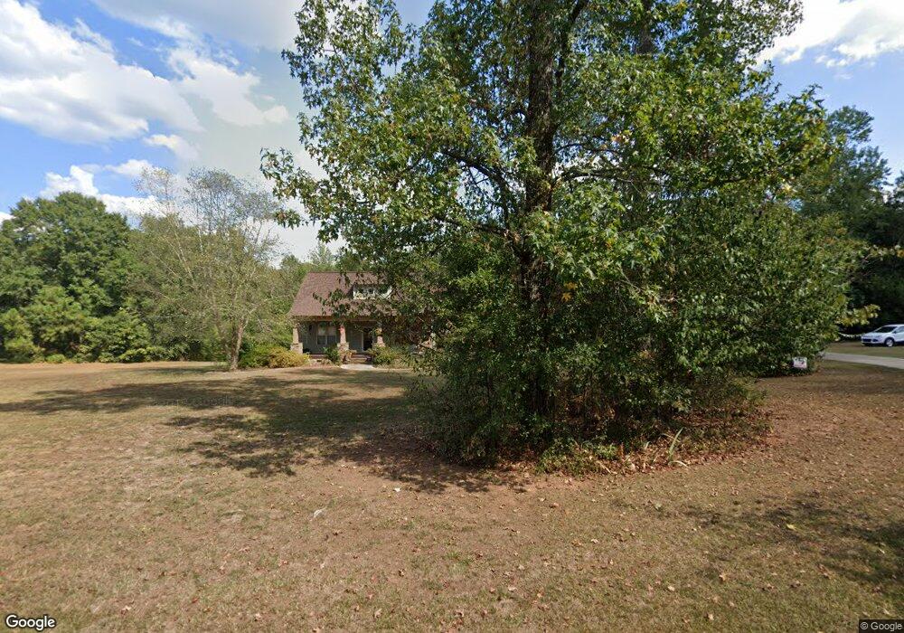
26 Thomas Trail Meansville, GA 30256
Estimated Value: $464,000 - $561,000
4
Beds
3
Baths
2,536
Sq Ft
$203/Sq Ft
Est. Value
About This Home
This home is located at 26 Thomas Trail, Meansville, GA 30256 and is currently estimated at $515,902, approximately $203 per square foot. 26 Thomas Trail is a home located in Pike County with nearby schools including Pike County Primary School, Pike County Elementary School, and Pike County Middle School.
Ownership History
Date
Name
Owned For
Owner Type
Purchase Details
Closed on
Mar 27, 2018
Sold by
Lett Jay
Bought by
Owens Andrea H
Current Estimated Value
Home Financials for this Owner
Home Financials are based on the most recent Mortgage that was taken out on this home.
Original Mortgage
$209,500
Outstanding Balance
$180,125
Interest Rate
4.43%
Mortgage Type
VA
Estimated Equity
$335,777
Purchase Details
Closed on
Aug 5, 2002
Sold by
Bahin Helen Anne
Bought by
Bahin Marion P
Purchase Details
Closed on
Oct 29, 1999
Sold by
Burnsed Thomas Reginald
Bought by
Bahin Helen Anne
Purchase Details
Closed on
Apr 9, 1992
Bought by
Burnsed Thomas Reginald
Create a Home Valuation Report for This Property
The Home Valuation Report is an in-depth analysis detailing your home's value as well as a comparison with similar homes in the area
Home Values in the Area
Average Home Value in this Area
Purchase History
| Date | Buyer | Sale Price | Title Company |
|---|---|---|---|
| Owens Andrea H | $284,500 | -- | |
| Bahin Marion P | -- | -- | |
| Bahin Helen Anne | $18,000 | -- | |
| Burnsed Thomas Reginald | -- | -- |
Source: Public Records
Mortgage History
| Date | Status | Borrower | Loan Amount |
|---|---|---|---|
| Open | Owens Andrea H | $209,500 |
Source: Public Records
Tax History Compared to Growth
Tax History
| Year | Tax Paid | Tax Assessment Tax Assessment Total Assessment is a certain percentage of the fair market value that is determined by local assessors to be the total taxable value of land and additions on the property. | Land | Improvement |
|---|---|---|---|---|
| 2024 | $5,465 | $220,479 | $38,376 | $182,103 |
| 2023 | $5,590 | $192,643 | $38,376 | $154,267 |
| 2022 | $3,608 | $124,331 | $12,919 | $111,412 |
| 2021 | $3,734 | $124,331 | $12,919 | $111,412 |
| 2020 | $3,777 | $124,331 | $12,919 | $111,412 |
| 2019 | $3,488 | $101,010 | $11,200 | $89,810 |
| 2018 | $3,425 | $101,010 | $11,200 | $89,810 |
| 2017 | $3,397 | $101,010 | $11,200 | $89,810 |
| 2016 | $3,152 | $101,010 | $11,200 | $89,810 |
| 2015 | $3,001 | $101,010 | $11,200 | $89,810 |
| 2014 | $3,044 | $101,010 | $11,200 | $89,810 |
| 2013 | -- | $101,010 | $11,200 | $89,810 |
Source: Public Records
Map
Nearby Homes
- 0 Billies Way Unit 10435066
- 1440 McCard Lake Rd
- 34.61 ACRES Walker Rd
- 35 Loblolly Dr
- 2745 Adams Rd
- 12471 Ga Highway 109
- 12100 Georgia 109
- 2+ ACRES Williams Mill Rd
- 6.5 ACRES Williams Mill Rd
- 0 Bankston Rd
- 0 Bankston Rd Unit 10646721
- 223 Arthur Rd
- 681 Whitfield Walk
- 637 Whitfield Walk
- 967 Five Points Rd
- 351 E Milner Rd
- 98 Whitfield Bend
- 1757 Alabama Rd
- 1516 Glover Rd
- 1004 Mill Race Unit 4
- 70 Thomas Trail
- 27 Thomas Trail
- 91 Thomas Trail
- 116 Thomas Trail
- 0 Billies Way Unit 34 8233349
- 0 Billies Way Unit 10318550
- 0 Billies Way Unit LOT 25 3123882
- 0 Billies Way Unit 7380540
- 0 Billies Way Unit 8003276
- 14870 Georgia 109
- 125 Thomas Trail Unit 3
- 125 Thomas Trail
- 14924 Ga Hwy 109
- 184 Thomas Trail
- 15333 Ga Hwy 109
- 189 Thomas Trail
- 14870 Ga Hwy 109
- 238 Thomas Trail
- 50 McCard Lake Rd
- 170 McCard Lake Rd