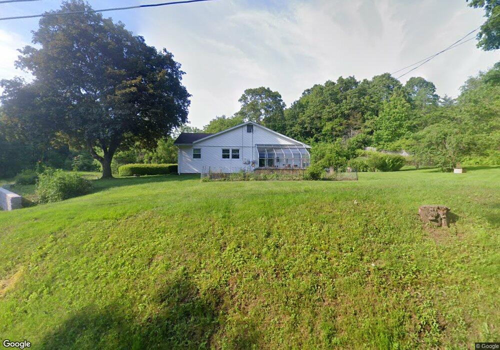
26 Valley Rd Southampton, MA 01073
Estimated Value: $528,659 - $559,000
3
Beds
3
Baths
1,972
Sq Ft
$275/Sq Ft
Est. Value
About This Home
This home is located at 26 Valley Rd, Southampton, MA 01073 and is currently estimated at $541,886, approximately $274 per square foot. 26 Valley Rd is a home located in Hampshire County with nearby schools including William E Norris School, Westfield Christian Academy, and White Oak School.
Ownership History
Date
Name
Owned For
Owner Type
Purchase Details
Closed on
Jul 31, 2007
Sold by
Thurston Cynthia S
Bought by
Thurston Cynthia S and Thurston Lee M
Current Estimated Value
Home Financials for this Owner
Home Financials are based on the most recent Mortgage that was taken out on this home.
Original Mortgage
$284,000
Outstanding Balance
$177,584
Interest Rate
6.78%
Estimated Equity
$364,302
Purchase Details
Closed on
Aug 29, 2002
Sold by
Thurston Lee M
Bought by
Thurston Cynthia S
Purchase Details
Closed on
Jun 19, 2001
Sold by
Lee Keun Ja and Lee Keun Bok
Bought by
Thurston Lee M
Create a Home Valuation Report for This Property
The Home Valuation Report is an in-depth analysis detailing your home's value as well as a comparison with similar homes in the area
Home Values in the Area
Average Home Value in this Area
Purchase History
| Date | Buyer | Sale Price | Title Company |
|---|---|---|---|
| Thurston Cynthia S | -- | -- | |
| Thurston Cynthia S | $250,000 | -- | |
| Thurston Lee M | $196,000 | -- |
Source: Public Records
Mortgage History
| Date | Status | Borrower | Loan Amount |
|---|---|---|---|
| Open | Thurston Cynthia S | $284,000 | |
| Previous Owner | Thurston Lee M | $272,000 | |
| Previous Owner | Thurston Lee M | $22,026 |
Source: Public Records
Tax History
| Year | Tax Paid | Tax Assessment Tax Assessment Total Assessment is a certain percentage of the fair market value that is determined by local assessors to be the total taxable value of land and additions on the property. | Land | Improvement |
|---|---|---|---|---|
| 2025 | $5,831 | $411,500 | $105,000 | $306,500 |
| 2024 | $5,674 | $398,200 | $105,000 | $293,200 |
| 2023 | $5,299 | $369,800 | $105,000 | $264,800 |
| 2022 | $5,145 | $341,400 | $91,900 | $249,500 |
| 2021 | $5,037 | $315,400 | $87,100 | $228,300 |
| 2020 | $4,830 | $305,300 | $86,500 | $218,800 |
| 2019 | $4,686 | $287,300 | $86,500 | $200,800 |
| 2018 | $4,446 | $265,900 | $79,100 | $186,800 |
| 2017 | $4,339 | $265,900 | $79,100 | $186,800 |
| 2015 | $4,092 | $260,500 | $73,500 | $187,000 |
Source: Public Records
Map
Nearby Homes
- Lot 92-00 White Loaf Rd
- 21 Old County Rd
- 150 Middle Rd
- 94 Pequot Rd (Rear)
- 19 Cottage Ave
- 47 Jaeger Dr
- 45 Jaeger Dr
- 36 County Rd
- 37 Sun Valley Rd
- 178 Falcon Dr
- Lot 5 Brickyard Rd
- 119 Brickyard Rd
- 288 Buck Pond Rd
- 0 Char Dr
- Lot 3 Mountain Rd
- Lot 5 Gil Farm Rd
- Lot 6 Gil Farm Rd
- 7 Western View Rd
- 7 1st Ave
- 36 Line St
Your Personal Tour Guide
Ask me questions while you tour the home.