26 Wawbeek Rd Tuftonboro, NH 03816
Estimated Value: $779,858 - $1,039,000
5
Beds
3
Baths
2,500
Sq Ft
$363/Sq Ft
Est. Value
About This Home
This home is located at 26 Wawbeek Rd, Tuftonboro, NH 03816 and is currently estimated at $906,965, approximately $362 per square foot. 26 Wawbeek Rd is a home located in Carroll County with nearby schools including Tuftonboro Central School, Kingswood Regional Middle School, and Kingswood Regional High School.
Ownership History
Date
Name
Owned For
Owner Type
Purchase Details
Closed on
Jan 19, 2016
Sold by
Smith James R and Smith Michele B
Bought by
James R Smith Ret
Current Estimated Value
Purchase Details
Closed on
Oct 1, 2015
Sold by
Smith Jeffrey B and Smith Jackie A
Bought by
Smith James R and Smith Michele B
Purchase Details
Closed on
Dec 2, 2013
Sold by
Smith James R and Smith Michele B
Bought by
James R Smith Ret
Purchase Details
Closed on
Apr 6, 2009
Sold by
Farwell Norman D and Farwell Margaret
Bought by
Smith James R and Smith Michelle B
Home Financials for this Owner
Home Financials are based on the most recent Mortgage that was taken out on this home.
Original Mortgage
$200,000
Interest Rate
4.92%
Mortgage Type
Purchase Money Mortgage
Create a Home Valuation Report for This Property
The Home Valuation Report is an in-depth analysis detailing your home's value as well as a comparison with similar homes in the area
Home Values in the Area
Average Home Value in this Area
Purchase History
| Date | Buyer | Sale Price | Title Company |
|---|---|---|---|
| James R Smith Ret | -- | -- | |
| Smith James R | $345,000 | -- | |
| James R Smith Ret | -- | -- | |
| Smith James R | $700,000 | -- |
Source: Public Records
Mortgage History
| Date | Status | Borrower | Loan Amount |
|---|---|---|---|
| Previous Owner | Smith James R | $196,000 | |
| Previous Owner | Smith James R | $200,000 |
Source: Public Records
Tax History Compared to Growth
Tax History
| Year | Tax Paid | Tax Assessment Tax Assessment Total Assessment is a certain percentage of the fair market value that is determined by local assessors to be the total taxable value of land and additions on the property. | Land | Improvement |
|---|---|---|---|---|
| 2024 | $5,881 | $771,800 | $0 | $771,800 |
| 2023 | $5,611 | $771,800 | $0 | $771,800 |
| 2022 | $4,970 | $771,800 | $0 | $771,800 |
| 2021 | $6,850 | $679,600 | $0 | $679,600 |
| 2020 | $6,497 | $679,600 | $0 | $679,600 |
| 2019 | $6,871 | $679,600 | $0 | $679,600 |
| 2018 | $7,127 | $637,500 | $0 | $637,500 |
| 2017 | $6,866 | $637,500 | $0 | $637,500 |
| 2016 | $6,649 | $637,500 | $0 | $637,500 |
| 2015 | $6,624 | $637,500 | $0 | $637,500 |
| 2014 | $6,369 | $637,500 | $0 | $637,500 |
| 2012 | $5,850 | $640,000 | $0 | $640,000 |
Source: Public Records
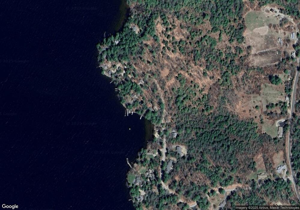
Map
Nearby Homes
- 175 Mountain Rd
- Lot 25 Ridge Field Rd
- 190 Ledge Hill Rd
- Lot 4 Ridge Field Rd Unit 4
- 0 Ledge Hill Rd Unit 7
- 61 Dame Rd
- 123 Mountain Rd
- Lot 4 Vere Royce Rd
- 13 Ridge Field Rd
- 24 Ridge Field Rd
- 2 Oak Leaf Ave
- 23 Ledge Hill Rd
- 24 Shirley Way
- 3 Mountain Shadows Dr Unit 2
- 106 Middle Rd
- 4 Partridge Berry Cir
- 4 Mill Pond Rd
- 323 Governor Wentworth Hwy
- 51 Federal Corner Rd
- 41 Valley Rd
- 14 Melody Park Dr
- 61 Cow Island
- 8 Little Bear Unit 6
- 104 Cow
- 19 and 21 Union Wharf
- 3 Samm Ln
- 38 Little Bear Island
- 24 Cow Island
- 322 Gwh
- 108 Cow Island
- 46 Little Bear Island
- 63 Little Bear Island
- 19-4 Lanes End
- 106 Cow Island
- 8 Hill Crest Dr
- 68 Gov Wentworth Hwy Unit 12
- 35 Cow Island
- 5 Little Bear Island
- 3 Little Bear Island
- 34 Sawyer Rd