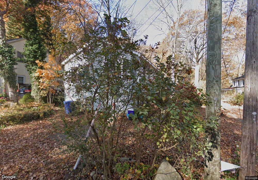
26 West St East Hampton, CT 06424
Estimated Value: $249,000 - $348,000
2
Beds
3
Baths
929
Sq Ft
$307/Sq Ft
Est. Value
About This Home
This home is located at 26 West St, East Hampton, CT 06424 and is currently estimated at $285,557, approximately $307 per square foot. 26 West St is a home with nearby schools including Memorial School, Center Elementary School, and East Hampton Middle School.
Ownership History
Date
Name
Owned For
Owner Type
Purchase Details
Closed on
Nov 3, 2009
Sold by
Miner Robert M
Bought by
Giccone Leona L
Current Estimated Value
Home Financials for this Owner
Home Financials are based on the most recent Mortgage that was taken out on this home.
Original Mortgage
$65,000
Outstanding Balance
$42,572
Interest Rate
5.06%
Estimated Equity
$242,985
Purchase Details
Closed on
Oct 21, 2002
Sold by
Young Patrick R
Bought by
Miner Robert M
Create a Home Valuation Report for This Property
The Home Valuation Report is an in-depth analysis detailing your home's value as well as a comparison with similar homes in the area
Home Values in the Area
Average Home Value in this Area
Purchase History
| Date | Buyer | Sale Price | Title Company |
|---|---|---|---|
| Giccone Leona L | $165,000 | -- | |
| Giccone Leona L | $165,000 | -- | |
| Miner Robert M | $112,500 | -- | |
| Miner Robert M | $112,500 | -- |
Source: Public Records
Mortgage History
| Date | Status | Borrower | Loan Amount |
|---|---|---|---|
| Open | Miner Robert M | $65,000 | |
| Closed | Miner Robert M | $65,000 | |
| Previous Owner | Miner Robert M | $130,000 | |
| Previous Owner | Miner Robert M | $111,000 |
Source: Public Records
Tax History Compared to Growth
Tax History
| Year | Tax Paid | Tax Assessment Tax Assessment Total Assessment is a certain percentage of the fair market value that is determined by local assessors to be the total taxable value of land and additions on the property. | Land | Improvement |
|---|---|---|---|---|
| 2025 | $5,130 | $129,180 | $48,840 | $80,340 |
| 2024 | $4,914 | $129,180 | $48,840 | $80,340 |
| 2023 | $4,658 | $129,180 | $48,840 | $80,340 |
| 2022 | $4,477 | $129,180 | $48,840 | $80,340 |
| 2021 | $4,461 | $129,180 | $48,840 | $80,340 |
| 2020 | $3,763 | $113,550 | $33,640 | $79,910 |
| 2019 | $3,944 | $119,000 | $37,990 | $81,010 |
| 2018 | $3,727 | $119,000 | $37,990 | $81,010 |
| 2017 | $3,727 | $119,000 | $37,990 | $81,010 |
| 2016 | $3,503 | $119,000 | $37,990 | $81,010 |
| 2015 | $3,483 | $125,360 | $44,690 | $80,670 |
| 2014 | $3,030 | $125,360 | $44,690 | $80,670 |
Source: Public Records
Map
Nearby Homes