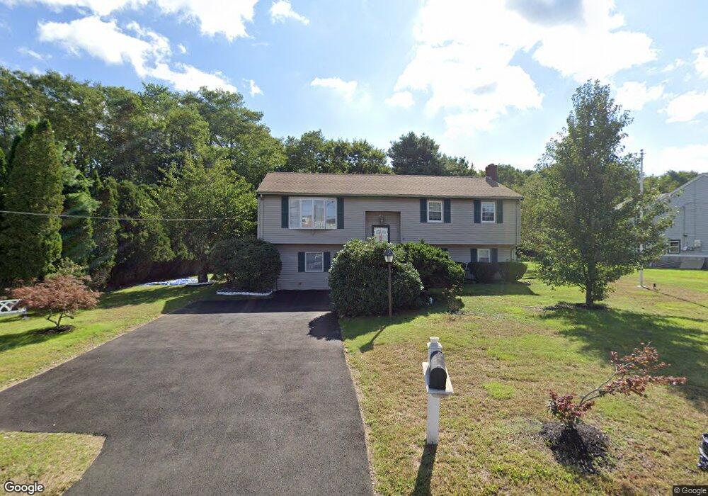
26 West St Stoughton, MA 02072
Estimated Value: $588,000 - $837,000
4
Beds
2
Baths
2,368
Sq Ft
$302/Sq Ft
Est. Value
About This Home
This home is located at 26 West St, Stoughton, MA 02072 and is currently estimated at $715,782, approximately $302 per square foot. 26 West St is a home located in Norfolk County with nearby schools including Wilkins Elementary School, O'Donnell Middle School, and Stoughton High School.
Ownership History
Date
Name
Owned For
Owner Type
Purchase Details
Closed on
Dec 17, 2010
Sold by
Roderigues Ft and Dupras
Bought by
Belizaire Gama and Delva Joseph M
Current Estimated Value
Home Financials for this Owner
Home Financials are based on the most recent Mortgage that was taken out on this home.
Original Mortgage
$269,900
Outstanding Balance
$178,408
Interest Rate
4.23%
Mortgage Type
Purchase Money Mortgage
Estimated Equity
$537,374
Create a Home Valuation Report for This Property
The Home Valuation Report is an in-depth analysis detailing your home's value as well as a comparison with similar homes in the area
Home Values in the Area
Average Home Value in this Area
Purchase History
| Date | Buyer | Sale Price | Title Company |
|---|---|---|---|
| Belizaire Gama | $299,900 | -- | |
| Belizaire Gama | $299,900 | -- |
Source: Public Records
Mortgage History
| Date | Status | Borrower | Loan Amount |
|---|---|---|---|
| Open | Belizaire Gama | $269,900 | |
| Closed | Belizaire Gama | $269,900 | |
| Previous Owner | Belizaire Gama | $28,000 |
Source: Public Records
Tax History Compared to Growth
Tax History
| Year | Tax Paid | Tax Assessment Tax Assessment Total Assessment is a certain percentage of the fair market value that is determined by local assessors to be the total taxable value of land and additions on the property. | Land | Improvement |
|---|---|---|---|---|
| 2025 | $6,719 | $542,700 | $230,900 | $311,800 |
| 2024 | $6,529 | $512,900 | $210,400 | $302,500 |
| 2023 | $6,898 | $509,100 | $195,500 | $313,600 |
| 2022 | $6,595 | $457,700 | $178,700 | $279,000 |
| 2021 | $6,495 | $430,100 | $162,000 | $268,100 |
| 2020 | $6,170 | $414,400 | $156,400 | $258,000 |
| 2019 | $6,219 | $405,400 | $156,400 | $249,000 |
| 2018 | $5,425 | $366,300 | $148,900 | $217,400 |
| 2017 | $5,048 | $348,400 | $141,500 | $206,900 |
| 2016 | $4,915 | $328,300 | $130,300 | $198,000 |
| 2015 | $4,855 | $320,900 | $122,900 | $198,000 |
| 2014 | $4,639 | $294,700 | $111,700 | $183,000 |
Source: Public Records
Map
Nearby Homes
- 11 Springwood Ave
- 115 Joanne Rd
- 103 Kim Terrace Unit A
- 23 Millfarm Rd
- 72 Kim Terrace Unit C
- 2040 Central St
- 82 Frances Dr
- 18 Cherrywood Dr Unit 18
- 109 Greenbrook Dr Unit 109
- 40 Elderwood Dr
- 35 Patricia Dr
- 15 Sparrow Rd
- 17 Patricia Dr
- 74 Ethyl Way
- 16 Jessica Dr Unit E
- 40 Horan Way
- 90 Charles Cir
- 12 Eastwood Rd
- 398 Erin Rd Unit 398
- 8 Patricia Dr