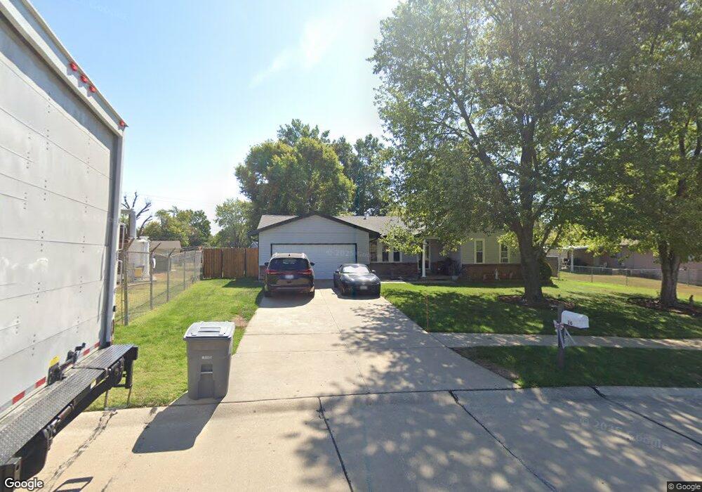
26 Westbrook Dr O Fallon, MO 63366
Estimated Value: $278,916 - $302,000
3
Beds
2
Baths
1,304
Sq Ft
$225/Sq Ft
Est. Value
About This Home
This home is located at 26 Westbrook Dr, O Fallon, MO 63366 and is currently estimated at $293,729, approximately $225 per square foot. 26 Westbrook Dr is a home located in St. Charles County with nearby schools including Joseph L. Mudd Elementary School, Forest Park Elementary School, and Fort Zumwalt North Middle School.
Ownership History
Date
Name
Owned For
Owner Type
Purchase Details
Closed on
Mar 30, 2004
Sold by
Thornton Donald R and Thornton Yvonne
Bought by
Thomas Robert J and Thomas Barbara L
Current Estimated Value
Home Financials for this Owner
Home Financials are based on the most recent Mortgage that was taken out on this home.
Original Mortgage
$129,158
Outstanding Balance
$60,398
Interest Rate
5.57%
Mortgage Type
FHA
Estimated Equity
$233,331
Purchase Details
Closed on
Dec 12, 2001
Sold by
Thornton Leonard A
Bought by
Thornton Leonard A and Thornton Donald R
Create a Home Valuation Report for This Property
The Home Valuation Report is an in-depth analysis detailing your home's value as well as a comparison with similar homes in the area
Home Values in the Area
Average Home Value in this Area
Purchase History
| Date | Buyer | Sale Price | Title Company |
|---|---|---|---|
| Thomas Robert J | $135,900 | Phoenix Title | |
| Thornton Leonard A | -- | -- | |
| Thornton Leonard A | -- | -- |
Source: Public Records
Mortgage History
| Date | Status | Borrower | Loan Amount |
|---|---|---|---|
| Open | Thomas Robert J | $129,158 |
Source: Public Records
Tax History
| Year | Tax Paid | Tax Assessment Tax Assessment Total Assessment is a certain percentage of the fair market value that is determined by local assessors to be the total taxable value of land and additions on the property. | Land | Improvement |
|---|---|---|---|---|
| 2025 | $2,809 | $46,217 | -- | -- |
| 2023 | $2,810 | $42,276 | $0 | $0 |
| 2022 | $2,361 | $32,973 | $0 | $0 |
| 2021 | $2,362 | $32,973 | $0 | $0 |
| 2020 | $2,027 | $27,398 | $0 | $0 |
| 2019 | $2,031 | $27,398 | $0 | $0 |
| 2018 | $2,083 | $26,847 | $0 | $0 |
| 2017 | $2,049 | $26,847 | $0 | $0 |
| 2016 | $1,758 | $22,926 | $0 | $0 |
| 2015 | $1,634 | $22,926 | $0 | $0 |
| 2014 | $1,601 | $22,101 | $0 | $0 |
Source: Public Records
Map
Nearby Homes
- 0 Montbrook Dr
- 731 Cordes St
- 38 Downing St
- 151 N Wellington St
- 423 Woodlawn Ave
- 734 Sunset Ln
- 4 Shinnecock Hills
- 11 Southern Hills Ct
- 24 Hawthorne Ct
- 962 Midpoint Dr
- 10 Southern Hills Ct
- 503 Imperial Ct
- 849 Elaine Dr
- 1117 Turtle Creek Dr
- 6 Emerson Ct
- 205 E Elm St
- 1234 Pinehurst Club Ct
- 116 Columbia Meadows Ln
- 127 Columbia Meadows Ln
- 5 Challenger Ct
- 28 Brookside Ct
- 30 Brookside Ct
- 511 Westridge Dr
- 2 Bblt-Prinz X-Brookside
- 2 Bblt-Inness X-Brookside
- 2 Bblt-Ryan X-Brookside
- 2 Bblt-Jasper X-Brookside
- 2 Bblt-Wallis X-Brookside
- 2 Bblt-Newcastle X-Brookside
- 2 Bblt-Linley X-Brookside
- 2 Bblt-Dover X-Brookside
- 0NEW Build Hemingway@brookside
- 0NEW Build Alcott@brookside
- 1 Tbb-Meridian at Brookside
- 1 Tbb Barcelona at Brookside
- 1 Tbb Geneva at Brookside
- 1 Tbb-Franklin at Brookside
- 1 Tbb Hemingway at Brookside
- 1 Tbb - Wright at Brookside
- 1 Tbb-Hamilton at Brookside
Your Personal Tour Guide
Ask me questions while you tour the home.