26 Woodhill Ln Glen Head, NY 11545
Estimated Value: $3,315,038 - $4,077,000
--
Bed
6
Baths
7,323
Sq Ft
$505/Sq Ft
Est. Value
About This Home
This home is located at 26 Woodhill Ln, Glen Head, NY 11545 and is currently estimated at $3,696,019, approximately $504 per square foot. 26 Woodhill Ln is a home located in Nassau County with nearby schools including Locust Valley High School, Green Vale School, and Long Island Lutheran Middle & High School.
Ownership History
Date
Name
Owned For
Owner Type
Purchase Details
Closed on
Mar 17, 2004
Sold by
North Shore Construction
Bought by
Chelico Mounir
Current Estimated Value
Purchase Details
Closed on
Feb 22, 2002
Sold by
Chatpar Jawahar C and Chatpar Sylvie Roy
Bought by
N Shore Const Corp
Purchase Details
Closed on
Jan 13, 1998
Sold by
Habitat Developers Inc
Bought by
Chatpar Jawahar C Sylvie Roy
Purchase Details
Closed on
Jul 11, 1997
Sold by
Yedidision Paphdm
Bought by
Habatat Developers Inc
Create a Home Valuation Report for This Property
The Home Valuation Report is an in-depth analysis detailing your home's value as well as a comparison with similar homes in the area
Home Values in the Area
Average Home Value in this Area
Purchase History
| Date | Buyer | Sale Price | Title Company |
|---|---|---|---|
| Chelico Mounir | $2,205,000 | -- | |
| N Shore Const Corp | $880,000 | William Zaccaria | |
| Chatpar Jawahar C Sylvie Roy | $355,000 | -- | |
| Habatat Developers Inc | -- | -- |
Source: Public Records
Tax History Compared to Growth
Tax History
| Year | Tax Paid | Tax Assessment Tax Assessment Total Assessment is a certain percentage of the fair market value that is determined by local assessors to be the total taxable value of land and additions on the property. | Land | Improvement |
|---|---|---|---|---|
| 2025 | $40,974 | $2,214 | $779 | $1,435 |
| 2024 | $5,744 | $2,225 | $783 | $1,442 |
| 2023 | $35,759 | $2,313 | $814 | $1,499 |
| 2022 | $35,759 | $2,510 | $931 | $1,579 |
| 2021 | $36,612 | $2,368 | $793 | $1,575 |
| 2020 | $30,297 | $3,290 | $2,313 | $977 |
| 2019 | $34,204 | $3,525 | $2,323 | $1,202 |
| 2018 | $33,495 | $3,760 | $0 | $0 |
| 2017 | $27,892 | $3,995 | $1,904 | $2,091 |
| 2016 | $34,572 | $4,680 | $2,230 | $2,450 |
| 2015 | $7,369 | $5,200 | $2,173 | $3,027 |
| 2014 | $7,369 | $5,200 | $2,173 | $3,027 |
| 2013 | $6,913 | $5,200 | $2,173 | $3,027 |
Source: Public Records
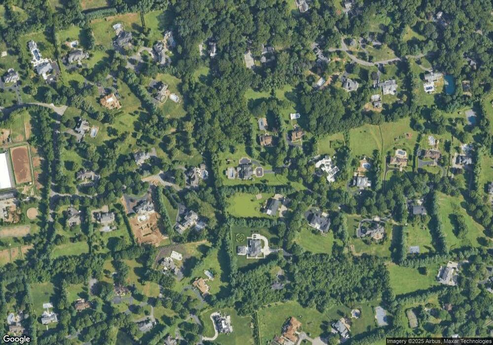
Map
Nearby Homes
- 21 Overbrook Ln
- 5 Farmwoods Ln
- 183 Linden Ln
- 172 Hegemans Ln
- 170 Hegemans Ln
- 168 Hegemans Ln
- 0 High Point Lot A Ct Unit KEYL3464991
- 5 Carol Ln
- 5 Peacock Ln
- 2340 A Cedar Swamp Rd
- 12 Ridge Ct
- 1629 Cedar Swamp Rd
- 19 Ridge Ct
- 7 Pin Oak Ct
- 1622 Old Cedar Swamp Rd
- 5694 Northern Blvd
- 16 Horse Hill Rd
- 60 Piping Rock Rd
- 35 Chicken Valley Rd
- 7 Locust Ln