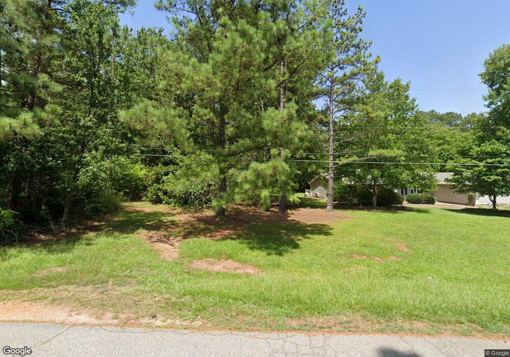
26 Woodsford Rd Sharpsburg, GA 30277
Estimated Value: $390,228 - $454,000
3
Beds
3
Baths
2,992
Sq Ft
$142/Sq Ft
Est. Value
About This Home
This home is located at 26 Woodsford Rd, Sharpsburg, GA 30277 and is currently estimated at $424,057, approximately $141 per square foot. 26 Woodsford Rd is a home located in Coweta County with nearby schools including Canongate Elementary School, Madras Middle School, and Northgate High School.
Ownership History
Date
Name
Owned For
Owner Type
Purchase Details
Closed on
Dec 23, 2019
Sold by
Mayes Titus Dale
Bought by
Dell Holdings Llc
Current Estimated Value
Purchase Details
Closed on
Nov 30, 1991
Bought by
Mayes Reva Giesle
Purchase Details
Closed on
Mar 4, 1991
Bought by
Mayes Cecil Guy & Re
Purchase Details
Closed on
Feb 27, 1991
Bought by
Wilson Deborah Bradl
Purchase Details
Closed on
Apr 24, 1986
Bought by
Bradley Deborah
Create a Home Valuation Report for This Property
The Home Valuation Report is an in-depth analysis detailing your home's value as well as a comparison with similar homes in the area
Home Values in the Area
Average Home Value in this Area
Purchase History
| Date | Buyer | Sale Price | Title Company |
|---|---|---|---|
| Dell Holdings Llc | -- | -- | |
| Dell Holdings Llc | $288,000 | -- | |
| Mayes Reva Giesle | -- | -- | |
| Mayes Cecil Guy & Re | $10,500 | -- | |
| Wilson Deborah Bradl | -- | -- | |
| Bradley Deborah | -- | -- |
Source: Public Records
Tax History Compared to Growth
Tax History
| Year | Tax Paid | Tax Assessment Tax Assessment Total Assessment is a certain percentage of the fair market value that is determined by local assessors to be the total taxable value of land and additions on the property. | Land | Improvement |
|---|---|---|---|---|
| 2025 | $3,296 | $139,516 | $16,781 | $122,735 |
| 2024 | $3,187 | $137,301 | $15,683 | $121,618 |
| 2023 | $3,187 | $135,939 | $14,521 | $121,418 |
| 2022 | $3,196 | $129,752 | $13,830 | $115,922 |
| 2021 | $2,515 | $95,540 | $13,830 | $81,710 |
| 2020 | $2,532 | $95,540 | $13,830 | $81,710 |
| 2019 | $2,394 | $81,794 | $13,658 | $68,136 |
| 2018 | $1,180 | $81,794 | $13,658 | $68,136 |
| 2017 | $1,179 | $81,794 | $13,658 | $68,136 |
| 2016 | $1,154 | $81,794 | $13,658 | $68,136 |
| 2015 | $910 | $74,588 | $13,658 | $60,930 |
| 2014 | $1,261 | $74,588 | $13,658 | $60,930 |
Source: Public Records
Map
Nearby Homes
- 11 Line Creek Cir
- 121 Northwoods Rd
- 95 Tyler Woods Dr
- 25 Sycamore Way
- 12 Race Point Way
- 319 Beaconsfield Dr
- 75 Tomahawk Dr
- 125 Cannongate Cir
- 100 Ashland Trail
- 259 Strathmore Dr Unit 3
- 104 Ashland Trail
- 131 Cannongate Cir
- 115 Platinum Ridge
- 9 Platinum Overlook
- 10 Monteray Ct
- 107 Iron Oak Dr
- 208 Silver Maple Ct
- 20 Skipton Ct
- 2043 Fischer Rd
- 2039 Fischer Rd
- 12 Woodsford Rd
- 110 Northwoods Rd
- 19 Woodsford Rd
- 25 Woodsford Rd
- 45 Woodsford Rd
- 44 Northwoods Rd
- 1307 Minix Rd
- 105 Northwoods Rd
- 164 Woodsford Rd
- 150* Woodsford Rd Unit 2.40 / 61
- 25 Northwoods Rd
- 43 Northwoods Rd Unit 1
- 1264 Minix Rd
- 21 Woodsford Rd
- 72 Northwoods Rd
- 734 Major Rd
- 110 Woodsford Rd
- 1351 Minix Rd
- 1232 Minix Rd
- 101 Woodsford Rd
