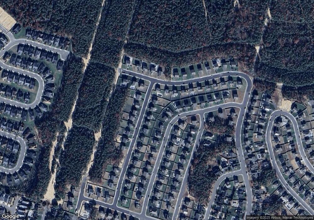
26 Wright Rd Barnegat, NJ 08005
Barnegat Township NeighborhoodEstimated Value: $606,660 - $695,000
--
Bed
--
Bath
--
Sq Ft
0.26
Acres
About This Home
This home is located at 26 Wright Rd, Barnegat, NJ 08005 and is currently estimated at $643,165. 26 Wright Rd is a home with nearby schools including Barnegat High School.
Ownership History
Date
Name
Owned For
Owner Type
Purchase Details
Closed on
Sep 26, 2022
Sold by
Jersey Dr Horton Inc-New
Bought by
Humphreys Justin H and Gjonbalaj Sabina
Current Estimated Value
Home Financials for this Owner
Home Financials are based on the most recent Mortgage that was taken out on this home.
Original Mortgage
$427,016
Outstanding Balance
$408,150
Interest Rate
5.13%
Mortgage Type
New Conventional
Estimated Equity
$235,015
Purchase Details
Closed on
Mar 14, 2022
Sold by
Walters Development Co Llc
Bought by
Jersey D R Horton Inc-New
Create a Home Valuation Report for This Property
The Home Valuation Report is an in-depth analysis detailing your home's value as well as a comparison with similar homes in the area
Home Values in the Area
Average Home Value in this Area
Purchase History
| Date | Buyer | Sale Price | Title Company |
|---|---|---|---|
| Humphreys Justin H | $533,770 | Title America | |
| Jersey D R Horton Inc-New | $92,500 | Title America |
Source: Public Records
Mortgage History
| Date | Status | Borrower | Loan Amount |
|---|---|---|---|
| Open | Humphreys Justin H | $427,016 |
Source: Public Records
Tax History Compared to Growth
Tax History
| Year | Tax Paid | Tax Assessment Tax Assessment Total Assessment is a certain percentage of the fair market value that is determined by local assessors to be the total taxable value of land and additions on the property. | Land | Improvement |
|---|---|---|---|---|
| 2025 | $8,627 | $289,800 | $86,500 | $203,300 |
| 2024 | $8,328 | $289,800 | $86,500 | $203,300 |
| 2023 | $8,059 | $286,100 | $86,500 | $199,600 |
| 2022 | $986 | $35,000 | $35,000 | $0 |
| 2021 | $981 | $35,000 | $35,000 | $0 |
| 2020 | $977 | $35,000 | $35,000 | $0 |
| 2019 | $963 | $35,000 | $35,000 | $0 |
| 2018 | $955 | $35,000 | $35,000 | $0 |
| 2017 | $939 | $35,000 | $35,000 | $0 |
| 2016 | $920 | $35,000 | $35,000 | $0 |
| 2015 | $891 | $35,000 | $35,000 | $0 |
| 2014 | $868 | $35,000 | $35,000 | $0 |
Source: Public Records
Map
Nearby Homes
- 1980 Breakers Dr
- 61 Milky Way Dr
- 4 Jolly Roger Rd
- 8 Jolly Roger Rd
- 6 Jolly Roger Rd
- 1999 Breakers Dr
- 1966 Breakers Dr
- 505 Mermaid Dr
- 148 Compass Rd
- 175 Barracuda Rd
- 12 Outsail Ave
- 3 Fullrigger Ave
- 104 Compass Rd
- 11 Michael Ave
- 9 Michael Ave
- 2 Plunder Ave
- 3 Minnow Ave
- 4 Plunder Ave
- 63 Lookout Dr
- 5 Minnow Ave
