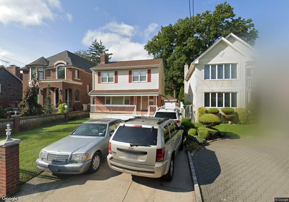
260 149th St Whitestone, NY 11357
Whitestone NeighborhoodEstimated Value: $1,067,633 - $1,547,000
--
Bed
--
Bath
1,547
Sq Ft
$822/Sq Ft
Est. Value
About This Home
This home is located at 260 149th St, Whitestone, NY 11357 and is currently estimated at $1,270,908, approximately $821 per square foot. 260 149th St is a home located in Queens County with nearby schools including Bayside High School, Holy Cross School Greek Orthodox Day School, and Holy Trinity School.
Ownership History
Date
Name
Owned For
Owner Type
Purchase Details
Closed on
Jan 12, 2021
Sold by
Katsihtis Elias and Katsihtis Nicoletta
Bought by
Costas Katsihtis As Co-Trustee Of and Giorgos Katsihtis, As Co-Trustee Of
Current Estimated Value
Purchase Details
Closed on
Sep 20, 1996
Sold by
Grieco Roger and Grieco Elizabeth
Bought by
Katsihtis Elias and Katsihtis Nicoletta
Home Financials for this Owner
Home Financials are based on the most recent Mortgage that was taken out on this home.
Original Mortgage
$206,250
Interest Rate
7.99%
Create a Home Valuation Report for This Property
The Home Valuation Report is an in-depth analysis detailing your home's value as well as a comparison with similar homes in the area
Home Values in the Area
Average Home Value in this Area
Purchase History
| Date | Buyer | Sale Price | Title Company |
|---|---|---|---|
| Costas Katsihtis As Co-Trustee Of | -- | -- | |
| Katsihtis Elias | $275,000 | Commonwealth Land Title Ins |
Source: Public Records
Mortgage History
| Date | Status | Borrower | Loan Amount |
|---|---|---|---|
| Previous Owner | Katsihtis Elias | $206,250 |
Source: Public Records
Tax History Compared to Growth
Tax History
| Year | Tax Paid | Tax Assessment Tax Assessment Total Assessment is a certain percentage of the fair market value that is determined by local assessors to be the total taxable value of land and additions on the property. | Land | Improvement |
|---|---|---|---|---|
| 2025 | $10,714 | $57,528 | $15,822 | $41,706 |
| 2024 | $10,726 | $54,743 | $14,148 | $40,595 |
| 2023 | $10,664 | $54,492 | $15,329 | $39,163 |
| 2022 | $9,976 | $56,700 | $16,980 | $39,720 |
| 2021 | $10,398 | $56,460 | $16,980 | $39,480 |
| 2020 | $9,843 | $51,060 | $16,980 | $34,080 |
| 2019 | $9,250 | $56,220 | $16,980 | $39,240 |
| 2018 | $8,959 | $45,410 | $13,893 | $31,517 |
| 2017 | $8,433 | $42,840 | $16,980 | $25,860 |
| 2016 | $8,156 | $42,840 | $16,980 | $25,860 |
| 2015 | $4,888 | $39,950 | $14,402 | $25,548 |
| 2014 | $4,888 | $38,016 | $14,847 | $23,169 |
Source: Public Records
Map
Nearby Homes
- 2-44 149th St
- 149-27 6th Ave
- 14962 Powells Cove Blvd
- 150-26 Sullivan Dr
- 145-67 5th Ave
- 14910 7th Ave
- 145-45 4th Ave
- 147-47 8th Ave
- 707 147th St
- 147-07 8th Ave
- 150123 Powells Cove Blvd Unit 150-12
- 150-129 Powells Cove Blvd
- 149-20 9th Ave
- 628 151st St
- 14703 10th Ave
- 104 Malba Dr
- 806 Clintonville St
- 118 Malba Dr
- 2-07 Parsons Blvd
- 6 Summit Place