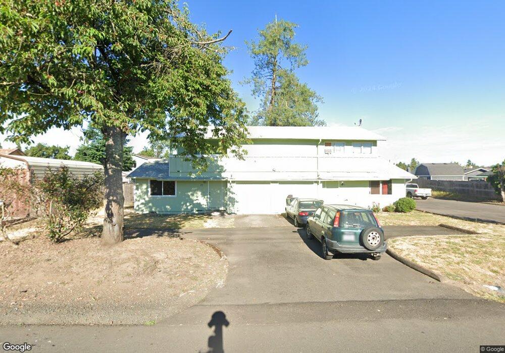
260 54th St Unit 262 Springfield, OR 97478
East Springfield NeighborhoodEstimated Value: $306,000 - $372,000
Studio
--
Bath
--
Sq Ft
16,161
Sq Ft Lot
About This Home
This home is located at 260 54th St Unit 262, Springfield, OR 97478 and is currently estimated at $342,465. 260 54th St Unit 262 is a home located in Lane County with nearby schools including Riverbend Elementary School, Agnes Stewart Middle School, and Thurston High School.
Ownership History
Date
Name
Owned For
Owner Type
Purchase Details
Closed on
Aug 27, 2004
Sold by
Strasheim John P and Small Betty S
Bought by
270 N 54Th St Units A & F Springfield Or L
Current Estimated Value
Purchase Details
Closed on
Apr 15, 2004
Sold by
Thompson Charles P and Thompson Marjean K
Bought by
Larson David
Home Financials for this Owner
Home Financials are based on the most recent Mortgage that was taken out on this home.
Original Mortgage
$116,550
Interest Rate
5.57%
Mortgage Type
Unknown
Purchase Details
Closed on
May 29, 2003
Sold by
Thompson Charles P and Thompson Marjean K
Bought by
Manning Ralph M and Manning Jennifer K
Home Financials for this Owner
Home Financials are based on the most recent Mortgage that was taken out on this home.
Original Mortgage
$121,500
Interest Rate
5.75%
Mortgage Type
Unknown
Create a Home Valuation Report for This Property
The Home Valuation Report is an in-depth analysis detailing your home's value as well as a comparison with similar homes in the area
Home Values in the Area
Average Home Value in this Area
Purchase History
| Date | Buyer | Sale Price | Title Company |
|---|---|---|---|
| 270 N 54Th St Units A & F Springfield Or L | $390,000 | Western Pioneer Title Co | |
| Larson David | $129,500 | Western Pioneer Title Co | |
| Manning Ralph M | $135,000 | Western Pioneer Title Co |
Source: Public Records
Mortgage History
| Date | Status | Borrower | Loan Amount |
|---|---|---|---|
| Previous Owner | Larson David | $116,550 | |
| Previous Owner | Manning Ralph M | $121,500 |
Source: Public Records
Tax History
| Year | Tax Paid | Tax Assessment Tax Assessment Total Assessment is a certain percentage of the fair market value that is determined by local assessors to be the total taxable value of land and additions on the property. | Land | Improvement |
|---|---|---|---|---|
| 2025 | $9 | $497 | $497 | -- |
| 2024 | $9 | $504 | $504 | -- |
| 2023 | $9 | $497 | $497 | $0 |
| 2022 | $9 | $503 | $503 | $0 |
| 2021 | $9 | $500 | $0 | $0 |
| 2020 | $9 | $500 | $0 | $0 |
| 2019 | $9 | $500 | $0 | $0 |
| 2018 | $9 | $501 | $0 | $0 |
| 2017 | $9 | $501 | $0 | $0 |
Source: Public Records
Map
Nearby Homes
- 340 54th St
- 5495 A Units 69 70 71 72 St
- 5570 B St
- 205 S 54th (#11) St Unit 11
- 205 S 54th St
- 5524 E St
- 5736 A St
- 733 54th St
- 775 54th St
- 5335 Main St Unit 236
- 5335 Main St
- 5335 Main St Unit 184
- 5335 Main St Unit 197
- 5335 Main St Unit 7
- 5335 Main St Unit 154
- 5335 Main St Unit 187
- 676 58th St
- 503 S 51st Place
- 569 S 51st Place
- 421 S 58th St
Your Personal Tour Guide
Ask me questions while you tour the home.