260 Apache Rd Florissant, CO 80816
Estimated Value: $590,000 - $872,000
3
Beds
2
Baths
1,956
Sq Ft
$383/Sq Ft
Est. Value
About This Home
This home is located at 260 Apache Rd, Florissant, CO 80816 and is currently estimated at $750,033, approximately $383 per square foot. 260 Apache Rd is a home with nearby schools including Edith Teter Elementary School, South Park Middle School, and South Park High School.
Ownership History
Date
Name
Owned For
Owner Type
Purchase Details
Closed on
May 25, 2018
Sold by
Davis James S and Davis Nancy N
Bought by
Higgins Pamela Rae
Current Estimated Value
Home Financials for this Owner
Home Financials are based on the most recent Mortgage that was taken out on this home.
Original Mortgage
$150,000
Outstanding Balance
$129,155
Interest Rate
4.4%
Mortgage Type
New Conventional
Estimated Equity
$620,878
Purchase Details
Closed on
Nov 2, 2009
Sold by
Rosenbaum Scott H and Rosenbaum Victoria J
Bought by
Davis James S and Davis Nancy N
Create a Home Valuation Report for This Property
The Home Valuation Report is an in-depth analysis detailing your home's value as well as a comparison with similar homes in the area
Home Values in the Area
Average Home Value in this Area
Purchase History
| Date | Buyer | Sale Price | Title Company |
|---|---|---|---|
| Higgins Pamela Rae | $400,000 | Unified Title Co | |
| Davis James S | $325,000 | Land Title Guarantee Company |
Source: Public Records
Mortgage History
| Date | Status | Borrower | Loan Amount |
|---|---|---|---|
| Open | Higgins Pamela Rae | $150,000 |
Source: Public Records
Tax History Compared to Growth
Tax History
| Year | Tax Paid | Tax Assessment Tax Assessment Total Assessment is a certain percentage of the fair market value that is determined by local assessors to be the total taxable value of land and additions on the property. | Land | Improvement |
|---|---|---|---|---|
| 2024 | $2,037 | $45,300 | $10,440 | $34,860 |
| 2023 | $2,037 | $45,300 | $10,440 | $34,860 |
| 2022 | $1,774 | $33,416 | $8,202 | $25,214 |
| 2021 | $1,782 | $34,380 | $8,440 | $25,940 |
| 2020 | $1,558 | $29,130 | $5,670 | $23,460 |
| 2019 | $1,504 | $29,130 | $5,670 | $23,460 |
| 2018 | $1,357 | $29,130 | $5,670 | $23,460 |
| 2017 | $1,345 | $27,950 | $5,880 | $22,070 |
| 2016 | $1,371 | $28,060 | $5,610 | $22,450 |
| 2015 | $1,402 | $28,060 | $5,610 | $22,450 |
| 2014 | $1,512 | $0 | $0 | $0 |
Source: Public Records
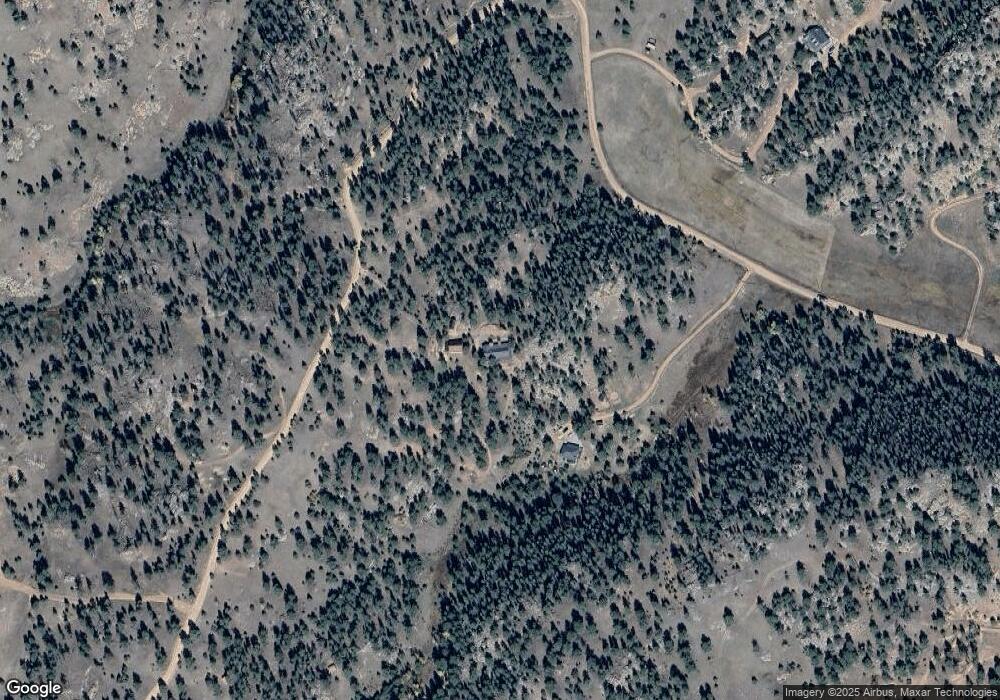
Map
Nearby Homes
- 277 Cherokee Dr
- 62 Cheyenne Rd
- 487 Pike View Rd
- 324 Pike View Rd
- 1703 Arapahoe Dr
- 66 Shawnee Place
- 305 Comanche Dr
- 125 Comanche Cir
- 55 Arapahoe Dr
- 67 Mohawk Cir
- 5915 County Road 11
- 1014 County Road 111
- 459 County Road 85
- 554 County Road 111
- 313 Elliott Dr
- 00 Witcher Mountain Rd
- 143 Ring Rd
- 79 Ranch View Dr
- 1840 Lakemoor Dr
- 1439 County Road 111