260 Clark Rd Griffin, GA 30224
Spalding County NeighborhoodEstimated Value: $277,000 - $349,337
--
Bed
2
Baths
1,823
Sq Ft
$174/Sq Ft
Est. Value
About This Home
This home is located at 260 Clark Rd, Griffin, GA 30224 and is currently estimated at $318,084, approximately $174 per square foot. 260 Clark Rd is a home located in Spalding County with nearby schools including Crescent Road Elementary School, Rehoboth Road Middle School, and Spalding High School.
Ownership History
Date
Name
Owned For
Owner Type
Purchase Details
Closed on
Dec 27, 2022
Sold by
Thompkins Mari
Bought by
Tompkins Mari and Tompkins Karl J
Current Estimated Value
Purchase Details
Closed on
Apr 13, 2018
Sold by
Tompkins Karl Jason
Bought by
Burns Mari
Purchase Details
Closed on
Oct 31, 1991
Sold by
Cantrell Richard H
Bought by
Cantrell Richard H and Cantrell Rita C
Purchase Details
Closed on
Sep 18, 1990
Sold by
Cantrell Luanne
Bought by
Cantrell Richard
Purchase Details
Closed on
Feb 27, 1989
Sold by
Cantrell Richard H and Cantrell Luanne B
Bought by
Cantrell Lounne H
Purchase Details
Closed on
Jul 5, 1988
Sold by
Anderson Dean and Anderson Dana
Bought by
Cantrell Richard H and Cantrell Luanne B
Purchase Details
Closed on
Feb 24, 1981
Sold by
Williams Evelyn Sutton
Bought by
Anderson Dean and Anderson Dana
Create a Home Valuation Report for This Property
The Home Valuation Report is an in-depth analysis detailing your home's value as well as a comparison with similar homes in the area
Home Values in the Area
Average Home Value in this Area
Purchase History
| Date | Buyer | Sale Price | Title Company |
|---|---|---|---|
| Tompkins Mari | -- | -- | |
| Burns Mari | -- | -- | |
| Cantrell Richard H | -- | -- | |
| Cantrell Richard | -- | -- | |
| Cantrell Lounne H | -- | -- | |
| Cantrell Richard H | $26,500 | -- | |
| Anderson Dean | $17,600 | -- | |
| Williams Evelyn Sutton | -- | -- |
Source: Public Records
Tax History Compared to Growth
Tax History
| Year | Tax Paid | Tax Assessment Tax Assessment Total Assessment is a certain percentage of the fair market value that is determined by local assessors to be the total taxable value of land and additions on the property. | Land | Improvement |
|---|---|---|---|---|
| 2024 | $3,521 | $120,033 | $43,657 | $76,376 |
| 2023 | $3,432 | $112,708 | $41,474 | $71,234 |
| 2022 | $3,095 | $94,905 | $31,903 | $63,002 |
| 2021 | $2,869 | $86,342 | $31,903 | $54,439 |
| 2020 | $2,878 | $86,342 | $31,903 | $54,439 |
| 2019 | $2,935 | $86,342 | $31,903 | $54,439 |
| 2018 | $3,063 | $81,968 | $31,903 | $50,065 |
| 2017 | $2,980 | $81,968 | $31,903 | $50,065 |
| 2016 | $3,033 | $81,968 | $31,903 | $50,065 |
| 2015 | $3,125 | $81,968 | $31,903 | $50,065 |
| 2014 | $3,187 | $81,968 | $31,903 | $50,065 |
Source: Public Records
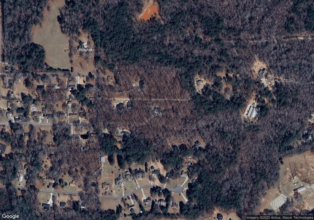
Map
Nearby Homes
- 138 Townsend Ct
- 119 Townsend Ct
- 135 Townsend Ct
- 137 Townsend Dr
- 1317 Sycamore Cir
- 36 Laurelwood Cir
- 1132 Birchwood Dr
- 7 Crabapple Cir
- 105 Jewel Dr
- 1117 Birchwood Dr
- 1215 White Oak Way
- 1200 White Oak Way
- TRACT D Cedardale Drive Sweetbriar Ln
- 116 Southbrook Dr
- 115 Kline Cir
- 1 Sweetbriar Ln Unit A
- 0 Cedardale Dr Unit 10272855
- 2105 Honeybee Creek Dr
- 490 County Line Rd
- 2203 Honeybee Creek Dr