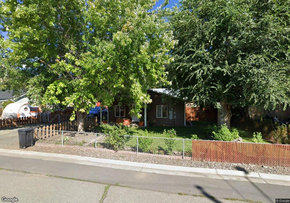
260 Cottonwood Mount Vernon, OR 97865
Estimated Value: $191,148 - $223,000
2
Beds
2
Baths
1,108
Sq Ft
$188/Sq Ft
Est. Value
About This Home
This home is located at 260 Cottonwood, Mount Vernon, OR 97865 and is currently estimated at $208,287, approximately $187 per square foot. 260 Cottonwood is a home located in Grant County with nearby schools including Grant Union Junior/Senior High School.
Ownership History
Date
Name
Owned For
Owner Type
Purchase Details
Closed on
Jun 26, 2014
Sold by
Johnson Joann
Bought by
Woods Craig J and Carlson Alice M
Current Estimated Value
Home Financials for this Owner
Home Financials are based on the most recent Mortgage that was taken out on this home.
Original Mortgage
$89,285
Outstanding Balance
$68,034
Interest Rate
4.17%
Mortgage Type
New Conventional
Estimated Equity
$140,253
Create a Home Valuation Report for This Property
The Home Valuation Report is an in-depth analysis detailing your home's value as well as a comparison with similar homes in the area
Home Values in the Area
Average Home Value in this Area
Purchase History
| Date | Buyer | Sale Price | Title Company |
|---|---|---|---|
| Woods Craig J | $87,500 | None Available |
Source: Public Records
Mortgage History
| Date | Status | Borrower | Loan Amount |
|---|---|---|---|
| Open | Woods Craig J | $89,285 |
Source: Public Records
Tax History Compared to Growth
Tax History
| Year | Tax Paid | Tax Assessment Tax Assessment Total Assessment is a certain percentage of the fair market value that is determined by local assessors to be the total taxable value of land and additions on the property. | Land | Improvement |
|---|---|---|---|---|
| 2024 | $1,018 | $69,790 | $17,304 | $52,486 |
| 2023 | $986 | $67,758 | $16,802 | $50,956 |
| 2022 | $958 | $65,785 | $16,316 | $49,469 |
| 2021 | $933 | $63,869 | $15,838 | $48,031 |
| 2020 | $981 | $62,009 | $15,377 | $46,632 |
| 2019 | $953 | $60,203 | $14,931 | $45,272 |
| 2018 | $926 | $58,450 | $11,942 | $46,508 |
| 2017 | $906 | $56,748 | $11,593 | $45,155 |
| 2016 | $880 | $55,096 | $11,257 | $43,839 |
| 2015 | $858 | $51,934 | $10,609 | $41,325 |
| 2014 | $858 | $51,934 | $10,609 | $41,325 |
| 2013 | $512 | $50,422 | $10,301 | $40,121 |
Source: Public Records
Map
Nearby Homes
- 251 SE Council Dr
- 54797 U S Highway 26
- 210 Mountain Blvd
- 410 N Mountain Blvd
- 440 N Mountain Blvd
- 809 Ingle St
- 55550 McKern Ln
- 54797 U S 26
- 59720 Highway 26
- 58392 Antelope Ln
- 0 Hwy 395 Unit 220203788
- 0 Hwy 395 Unit 603386933
- 59920 Highway 26
- 59920 Hwy 26
- 31367 Clarks Creek Rd
- 27637 La Costa Rd
- 27637 La Costa Ave
- 59591 High Ridge Ln
- 0 E Side Ln Unit 201102803
- 0 County Rd 74b Unit 11554207