260 Dickson Ln Humphrey, AR 72073
Estimated Value: $220,000 - $297,000
--
Bed
1
Bath
--
Sq Ft
267.59
Acres
About This Home
This home is located at 260 Dickson Ln, Humphrey, AR 72073 and is currently estimated at $258,500. 260 Dickson Ln is a home located in Arkansas County with nearby schools including Park Avenue Elementary School, Meekins Middle School, and Stuttgart Junior High School.
Ownership History
Date
Name
Owned For
Owner Type
Purchase Details
Closed on
Dec 18, 2024
Sold by
Bayer Cropscience Lp
Bought by
Stuttgart Holdings Llc
Current Estimated Value
Home Financials for this Owner
Home Financials are based on the most recent Mortgage that was taken out on this home.
Original Mortgage
$30,000,000
Outstanding Balance
$29,764,060
Interest Rate
6.79%
Mortgage Type
New Conventional
Estimated Equity
-$29,505,560
Purchase Details
Closed on
Dec 2, 2020
Sold by
Monsanto Company
Bought by
Bayer Cropscience Lp
Purchase Details
Closed on
Dec 4, 2000
Bought by
Monsanto
Create a Home Valuation Report for This Property
The Home Valuation Report is an in-depth analysis detailing your home's value as well as a comparison with similar homes in the area
Home Values in the Area
Average Home Value in this Area
Purchase History
| Date | Buyer | Sale Price | Title Company |
|---|---|---|---|
| Stuttgart Holdings Llc | $35,222,000 | None Listed On Document | |
| Bayer Cropscience Lp | -- | None Available | |
| Monsanto | -- | -- |
Source: Public Records
Mortgage History
| Date | Status | Borrower | Loan Amount |
|---|---|---|---|
| Open | Stuttgart Holdings Llc | $30,000,000 |
Source: Public Records
Tax History Compared to Growth
Tax History
| Year | Tax Paid | Tax Assessment Tax Assessment Total Assessment is a certain percentage of the fair market value that is determined by local assessors to be the total taxable value of land and additions on the property. | Land | Improvement |
|---|---|---|---|---|
| 2025 | $3,148 | $57,351 | $56,891 | $460 |
| 2024 | $3,148 | $57,351 | $56,891 | $460 |
| 2023 | $3,133 | $57,351 | $56,891 | $460 |
| 2022 | $2,501 | $51,870 | $51,510 | $360 |
| 2021 | $2,501 | $51,870 | $51,510 | $360 |
| 2020 | $2,162 | $51,870 | $51,510 | $360 |
| 2019 | $2,005 | $51,870 | $51,510 | $360 |
| 2018 | $1,848 | $51,870 | $51,510 | $360 |
| 2017 | $1,465 | $35,550 | $35,230 | $320 |
| 2016 | $1,585 | $35,550 | $35,230 | $320 |
| 2015 | -- | $0 | $0 | $0 |
| 2014 | -- | $0 | $0 | $0 |
| 2013 | -- | $0 | $0 | $0 |
Source: Public Records
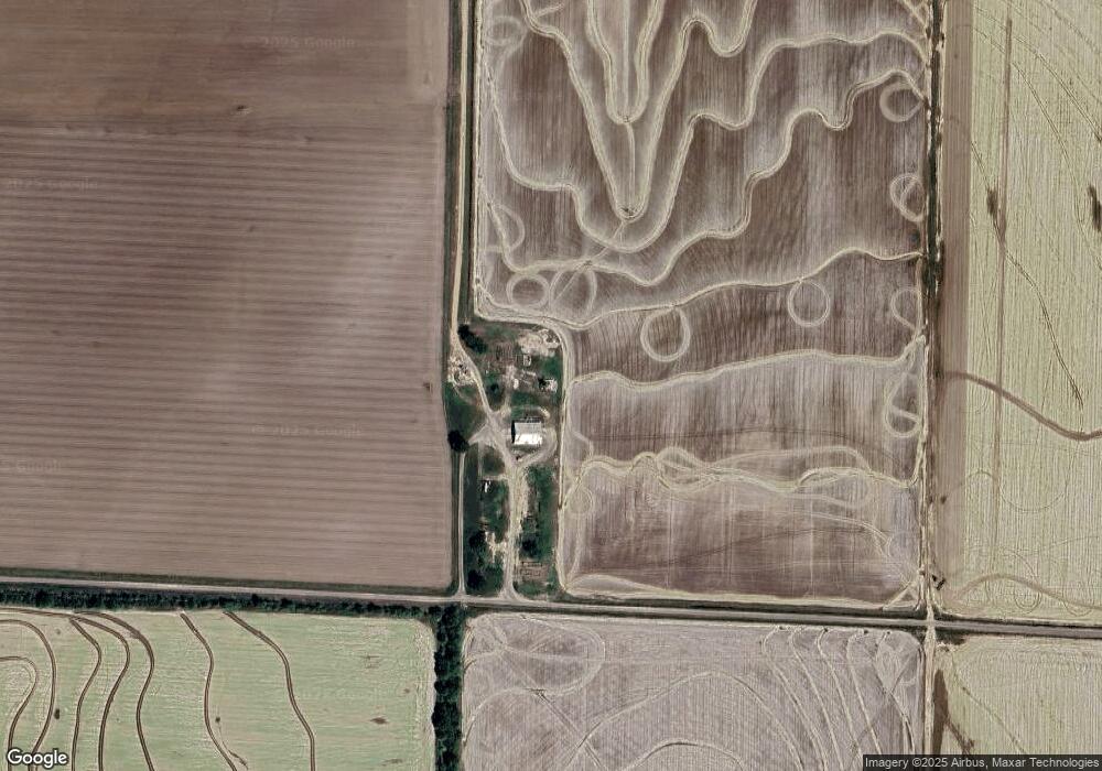
Map
Nearby Homes
- 1204 S Buerkle
- 000 Senning Loop
- 1307 W 22nd St
- 000 Hwy 79 Hwy
- 2109 Strait Place
- 613 Cox Cypress Rd
- 541 Cox Cypress Rd
- 2106 Beumer St
- 0 Townsend Dr
- 1302 Oliver St
- 2020 S Prairie St
- 3061 Highway 79 S
- 2006 S Prairie St
- 1210 E 21st St
- 1715 Club Cove
- 1912 S Lowe St
- 1905 S Spring St
- 1820 Beumer St
- 2025 Fairway St
- 0 Buerkle St Unit 23033391