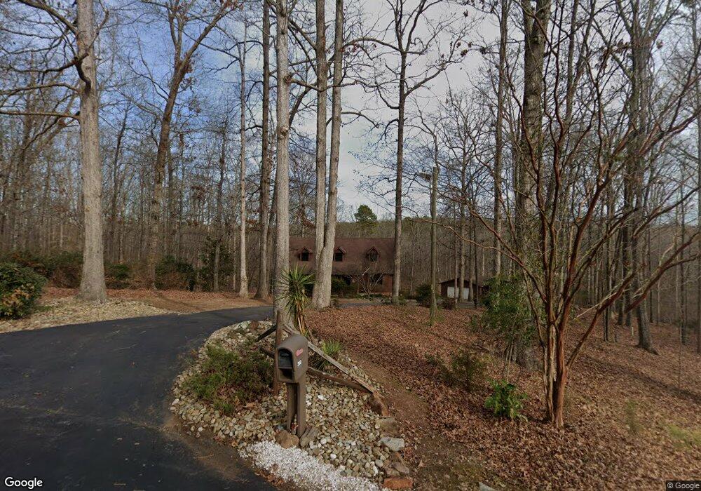
260 Independence Dr Roebuck, SC 29376
Estimated Value: $411,000 - $547,790
4
Beds
4
Baths
3,403
Sq Ft
$143/Sq Ft
Est. Value
About This Home
This home is located at 260 Independence Dr, Roebuck, SC 29376 and is currently estimated at $484,948, approximately $142 per square foot. 260 Independence Dr is a home located in Spartanburg County with nearby schools including Dorman High School Freshman Campus and Dorman High School.
Ownership History
Date
Name
Owned For
Owner Type
Purchase Details
Closed on
Jun 27, 2008
Sold by
Rimel Roy Robert and Rimel Phyllis C
Bought by
Odom Shannon and Odom Brooke
Current Estimated Value
Home Financials for this Owner
Home Financials are based on the most recent Mortgage that was taken out on this home.
Original Mortgage
$228,197
Outstanding Balance
$146,658
Interest Rate
6.08%
Mortgage Type
FHA
Estimated Equity
$338,290
Create a Home Valuation Report for This Property
The Home Valuation Report is an in-depth analysis detailing your home's value as well as a comparison with similar homes in the area
Home Values in the Area
Average Home Value in this Area
Purchase History
| Date | Buyer | Sale Price | Title Company |
|---|---|---|---|
| Odom Shannon | $230,000 | -- |
Source: Public Records
Mortgage History
| Date | Status | Borrower | Loan Amount |
|---|---|---|---|
| Open | Odom Shannon | $228,197 |
Source: Public Records
Tax History Compared to Growth
Tax History
| Year | Tax Paid | Tax Assessment Tax Assessment Total Assessment is a certain percentage of the fair market value that is determined by local assessors to be the total taxable value of land and additions on the property. | Land | Improvement |
|---|---|---|---|---|
| 2025 | $2,042 | $10,844 | $2,191 | $8,653 |
| 2024 | $2,042 | $10,844 | $2,191 | $8,653 |
| 2023 | $2,042 | $10,844 | $2,191 | $8,653 |
| 2022 | $1,837 | $9,430 | $1,841 | $7,589 |
| 2021 | $1,816 | $9,430 | $1,841 | $7,589 |
| 2020 | $1,776 | $9,430 | $1,841 | $7,589 |
| 2019 | $1,728 | $9,430 | $1,841 | $7,589 |
| 2018 | $1,735 | $9,430 | $1,841 | $7,589 |
| 2017 | $1,491 | $8,196 | $1,220 | $6,976 |
| 2016 | $1,525 | $8,196 | $1,220 | $6,976 |
| 2015 | $1,495 | $8,196 | $1,220 | $6,976 |
| 2014 | $1,449 | $8,196 | $1,220 | $6,976 |
Source: Public Records
Map
Nearby Homes
- 0 Independence Ct
- 365 Guernsey Ln
- 409 Balfour Rd
- 129 John Lancaster Rd
- 101 Sleepy Hollow Ln
- 0 Stone Station Rd
- 1024 Longstone Way
- 5428 Marblewood Rd
- 110 Matilda St
- 7244 Red Cedar Trail
- 109 Muirfield Dr
- 10 Torrey Pine Ct
- 310 Templeton Dr
- 2620 Carolina Country Club Rd
- 118 Myrna Dr
- 792 Old Canaan Rd
- 635 Mcabee Rd
- 388 Pinehurst Dr
- 207 Carolina Club Dr
- 95 Stone Station Farm
- 250 Independence Dr
- 310 Independence Dr
- 359 Independence Dr
- 234 Independence Dr
- 243 Independence Dr
- 360 Independence Dr
- 222 Independence Dr
- 219 Independence Dr
- 370 Independence Dr
- 379 Independence Dr
- 209 Independence Dr
- 380 Independence Dr
- 121 Declaration Ct
- 179 Declaration Ct
- 198 Independence Dr
- 195 Independence Dr
- 355 Guernsey Ln
- 190 Independence Dr
- 401 Independence Dr
- 190 Declaration Ct