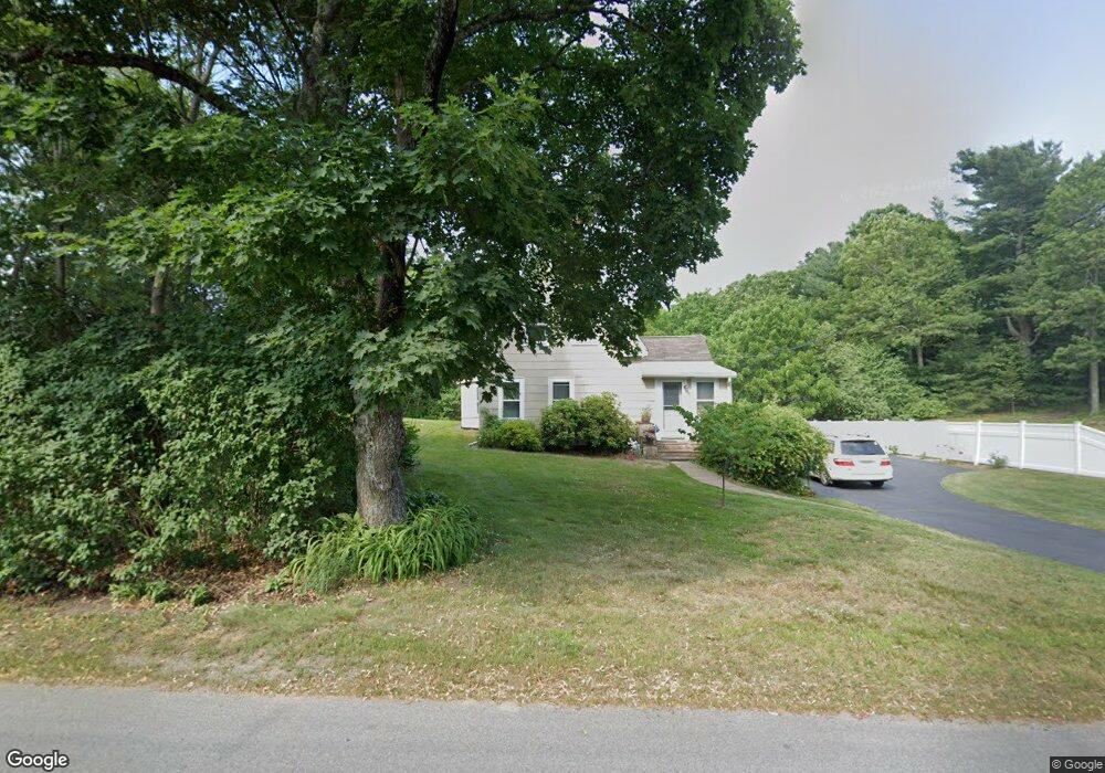
260 King Philip St Raynham, MA 02767
Estimated Value: $440,000 - $502,585
3
Beds
3
Baths
1,425
Sq Ft
$335/Sq Ft
Est. Value
About This Home
This home is located at 260 King Philip St, Raynham, MA 02767 and is currently estimated at $477,146, approximately $334 per square foot. 260 King Philip St is a home located in Bristol County with nearby schools including Merrill Elementary School, LaLiberte Elementary School, and Williams Intermediate School.
Ownership History
Date
Name
Owned For
Owner Type
Purchase Details
Closed on
Jan 17, 2025
Sold by
Cimino Dominic
Bought by
Dominic Cimino Ret and Cimino
Current Estimated Value
Purchase Details
Closed on
Jul 9, 2019
Sold by
Dominic & Diane Cimino Ret
Bought by
Cimino Dominic and Cimino Diane M
Purchase Details
Closed on
Sep 12, 2013
Sold by
Cimino Dominic
Bought by
Cimino Diane
Purchase Details
Closed on
Apr 24, 2012
Sold by
Cimino Dominic and Cimino Diane M
Bought by
Cimino Joseph A and Cimino Maria D
Purchase Details
Closed on
Jun 29, 2004
Sold by
Strachoff Gregory R and Strachoff Anna P
Bought by
Cimino Dominic and Cimino Diane M
Home Financials for this Owner
Home Financials are based on the most recent Mortgage that was taken out on this home.
Original Mortgage
$191,920
Interest Rate
6.32%
Mortgage Type
Purchase Money Mortgage
Create a Home Valuation Report for This Property
The Home Valuation Report is an in-depth analysis detailing your home's value as well as a comparison with similar homes in the area
Home Values in the Area
Average Home Value in this Area
Purchase History
| Date | Buyer | Sale Price | Title Company |
|---|---|---|---|
| Dominic Cimino Ret | -- | None Available | |
| M Cimino Testmentary T D | -- | None Available | |
| Cimino Dominic | -- | -- | |
| Cimino Diane | -- | -- | |
| Cimino Joseph A | -- | -- | |
| Cimino Dominic | $241,000 | -- |
Source: Public Records
Mortgage History
| Date | Status | Borrower | Loan Amount |
|---|---|---|---|
| Previous Owner | Cimino Dominic | $191,920 |
Source: Public Records
Tax History Compared to Growth
Tax History
| Year | Tax Paid | Tax Assessment Tax Assessment Total Assessment is a certain percentage of the fair market value that is determined by local assessors to be the total taxable value of land and additions on the property. | Land | Improvement |
|---|---|---|---|---|
| 2025 | $4,352 | $359,700 | $197,700 | $162,000 |
| 2024 | $4,353 | $350,500 | $197,700 | $152,800 |
| 2023 | $4,461 | $328,000 | $177,900 | $150,100 |
| 2022 | $4,456 | $300,500 | $168,000 | $132,500 |
| 2021 | $4,269 | $290,600 | $158,100 | $132,500 |
| 2020 | $4,045 | $280,700 | $150,200 | $130,500 |
| 2019 | $3,714 | $261,000 | $130,500 | $130,500 |
| 2018 | $3,594 | $241,200 | $124,500 | $116,700 |
| 2017 | $3,403 | $226,400 | $118,600 | $107,800 |
| 2016 | $3,574 | $238,600 | $114,700 | $123,900 |
| 2015 | $2,364 | $155,100 | $114,300 | $40,800 |
Source: Public Records
Map
Nearby Homes
- 65 Lothrop St
- 123 Center St
- 17 Lisa Dr
- 9 Abbey Ln
- 13 Daisy Ave
- 63 Vaillancourt St
- 2 Maplewood Ln Unit 21-1
- 0 Maplewood Unit 21.3 73426136
- 0 Maplewood Unit 33-1 73420094
- 18 Garfield St
- 5 New Carver St
- 138 Carver St
- 8 Spinnaker Ln Unit B
- 12 Oxford St
- 43 Avon St
- 68 Sabbatia Ln
- 658 Broadway
- 86 Lakeview Ave
- 47 Fairbanks Rd
- 84 Diniz Dr
- 260 King Philip St
- 270 King Philip St
- 242 King Philip St
- 255 King Philip St
- 265 King Philip St
- 280 King Philip St
- 99 Britton Cir
- 8 Reid St
- 362 Broadway
- 338 Broadway
- 83 Britton Cir
- 20 Reid St
- 302 & 302r Broadway
- 302 Broadway Unit 8
- 302 Broadway
- 222 King Philip St
- 370 Broadway
- 100 Britton Cir
- 0 King Philip St
- 376 Broadway